Hi, what do you want to do?
Curated OER
Educational Technology Clearinghouse: Maps Etc: Europe (Physical), 1868
A map from 1868 of Europe, showing the physical features, climate, and commercial resources of the region. Mountain chains are represented by lines of varying thickness, with the broader the line, the greater the elevation. The highest...
Curated OER
Us Troops Were Rushed to Western Europe in the 1950s to Deter Soviet Expansion
A fantastic history of NATO. From its inception after WWII to its call to action during the Kosovo crisis, the BBC does a great job of giving readers a well-rounded look at the institution. Includes a map with all member countries as...
Nations Online Project
Nations Online: Greece
Offers an excellent online resource and country profile of Greece located in Southern Europe, background overview, and numerous links to comprehensive information on the country's culture, history, geography, economy, environment,...
Nations Online Project
Nations Online: Poland
Excellent online resource that provides a country profile of the European nation of Poland, background details, and numerous links to in- depth information on the nation's culture, history, geography, economy, environment, tourism,...
Nations Online Project
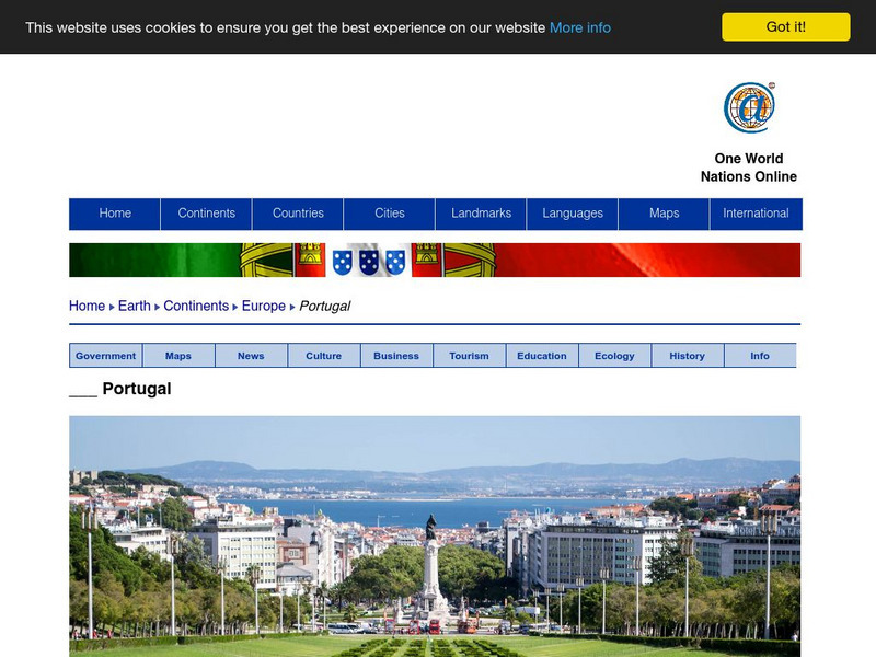
Nations Online: Portugal
Excellent online resource that provides a country profile of the Southwestern European nation of Portugal, background details, and numerous links to in-depth information on the nation's culture, history, geography, economy, environment,...
Other
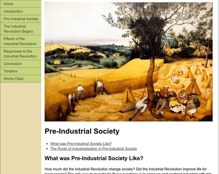
Modern World History: Pre Industrial Society
In this textbook unit, students learn about what society and the standard of living were like prior to the Industrial Revolution. The average peasant grew their food and kept farm animals. Change took place much more slowly, but the rate...
Earth Life
Earth Life Web: Bird Identification
Interested in doing some bird watching? This website from Earth-Life Web offers information on not only identifying birds in your own backyard, but in other countries as well. A long list of resources is included.
Curated OER
Etc: Maps Etc: Africa Before the Berlin Conference, 1884
This is an interesting map of Africa showing the continent before the Berlin Conference of 1885, when the most powerful countries in Europe at the time convened to make their territorial claims on Africa and establish their colonial...
Curated OER
Maps Etc: The Colonization of Africa, 1870 1910
A map showing the European colonization of the African continent before and after the Berlin Conference of 1885, when the most powerful countries in Europe at the time convened to make their territorial claims on Africa and establish...
Curated OER
Science Kids: Science Images: Croatia Flag
The national flag of Croatia, a country in Europe.
Curated OER
Science Kids: Science Images: Germany Flag
The national flag of Germany, a country in Europe with over 80 million people.
Curated OER
Science Kids: Science Images: Iceland Flag
The national flag of Iceland, a small island country in Europe.
Curated OER
Science Kids: Science Images: Ireland Flag
The national flag of the Republic of Ireland, a country in Europe.
Curated OER
Science Kids: Science Images: Netherlands Flag
The national flag of the Netherlands, a country in Europe.
Curated OER
Science Kids: Science Images: Norway Flag
The national flag of Norway, a Scandinavian country in Europe.
Curated OER
Science Kids: Science Images: Romania Flag
The national flag of Romania, a country in Europe with a population of over 19 million people.
Curated OER
Educational Technology Clearinghouse: Maps Etc: Pre Colonial Africa, 1885
A map of the African continent prior to the Berlin Conference of 1885, when the most powerful countries in Europe at the time convened to make their territorial claims on Africa and establish their colonial borders at the start of the...
Curated OER
Educational Technology Clearinghouse: Maps Etc: Pre Colonial Africa, 1872
A map of Africa showing the continent prior to the Berlin Conference of 1885, when the most powerful countries in Europe at the time convened to make their territorial claims on Africa and establish their colonial borders at the start of...
Curated OER
Etc: Maps Etc: Africa Before the Berlin Conference, 1882
A map of Africa as it was known in 1882 before the Berlin Conference of 1885, when the most powerful countries in Europe at the time convened to make their territorial claims on Africa and establish their colonial borders at the start of...
Other
International Center for Transitional Justice
This organization "assists countries pursuing accountability for past mass atrocity or human rights abuse." The site describes past and current programs in Africa, the Americas, Asia, Europe, and the Middle East.
Nations Online Project
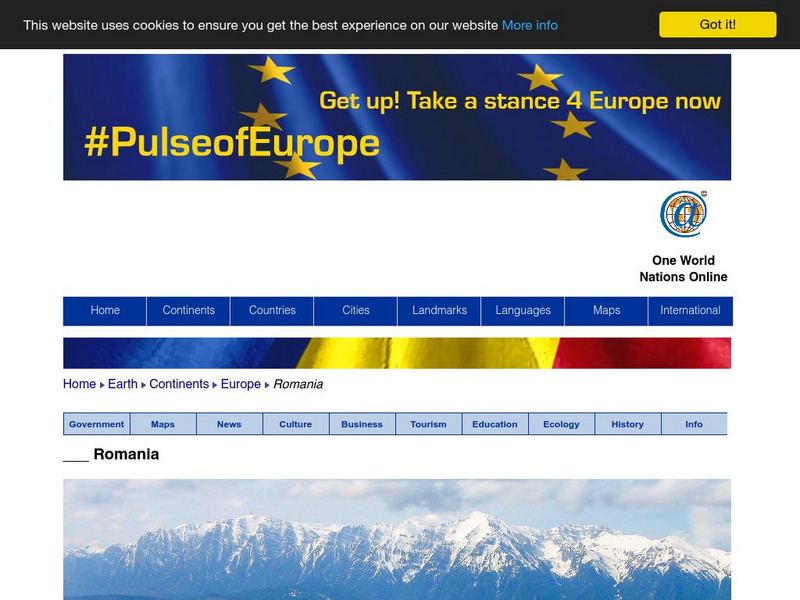
Nations Online: Romania
A great country profile that takes you on a virtual trip to Romania in Eastern Europe. An overview is given on its art, culture, people, environment, geography, history, economy, and government. There are numerous links available that...
Nations Online Project
Nations Online: Ukraine
A great country profile that takes you on a virtual trip to the Ukraine in Eastern Europe. An overview is given on its art, culture, people, environment, geography, history, economy, and government. There are numerous links available...
Nations Online Project
Nations Online: Macedonia
Excellent online resource that provides a country profile of the Balkan nation of Macedonia, background details, and numerous links to in-depth information on the nation's culture, history, geography, economy, environment, population,...
Nations Online Project
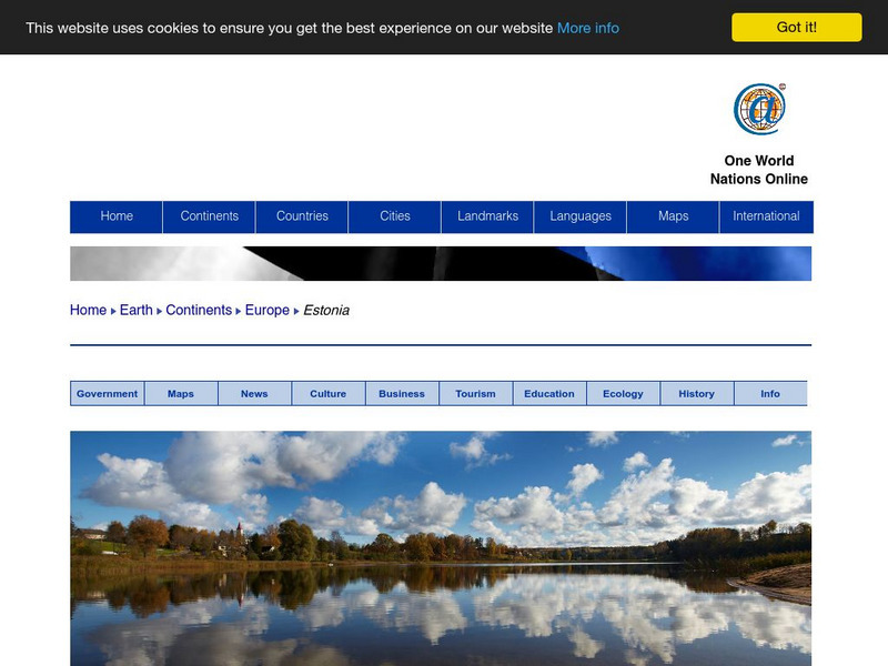
Nations Online: Estonia
Great reference source that takes you on a virtual trip to the Eastern European country of Estonia. Background overview is given on its art, culture, people, environment, geography, history, economy, and government. There are numerous...


