Library of Congress
World Digital Library: Map of Atlantic Coast: Chesapeake Bay to Florida
A historic map of the Atlantic coast of America created by cartographer Joan Vinckeboons around 1639 for the Dutch West India Company. A feature on the page allows the visitor to listen to and read the accompanying descriptive text in...
Library of Congress
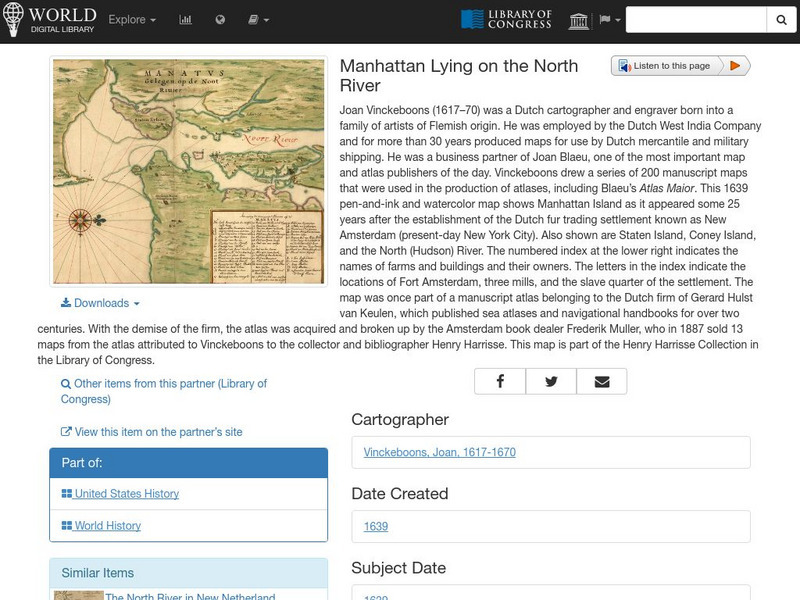
World Digital Library: Manhattan Lying on the North River
A historic map of Manhattan created by cartographer Joan Vinckeboons around 1639 for the Dutch West India Company. A feature on the page allows the visitor to listen to and read the accompanying descriptive text in seven different...
US National Archives
Docsteach: Lewis & Clark's Expedition to the Complex West
This activity can be used as an introduction or for a closer study of the Lewis & Clark Expedition. Students will learn that the United States purchased the Louisiana Territory in 1803 and President Thomas Jefferson sent Lewis and...


