Curated OER
Interpreting Satellite Images
Young scholars identify differences between photography and satellite imagery space.
Curated OER
and and Ocean Views of Earth by Remote Sensing
Students explain how satellites help scientists to see more than with the unaided eye and how Landsat technology works. Students identify vegetation and fire sites in the rainforest and detect erosion along rivers. They are able to use...
Curated OER
Exploring our Community
Students research the geography and history of Los Angeles and its surrounding communities.
Curated OER
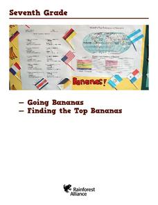
Honduras: Going Bananas
Middle schoolers explore the popularity of bananas. They conduct a survey to understand the reasons for their popularity. Students research a banana's journey from the farm to school lunch. They compose a children's book about bananas...
Curated OER
Earthquakes and Seismic Waves
Learners investigate the Richter scale and seismology in a teacher-led lab in which they are introduced to the concept of seismic waves and epicenter location. They further investigate the inner workings of a seismograph and practice...
National Association of Geoscience Teachers
Nagt: Geology Map Observations
In jigsaw groups, students construct the Earth's tectonic plates using geologic maps. Skills such as careful observation, presentation, and synthesis are used to create a map that shows the type and location the plates.
American Geosciences Institute
American Geosciences Institute: Earth Science Week: Map Making Basics
This activity will help students discover some features as they create a geologic map.
Science Education Resource Center at Carleton College
Serc: State Map Poster
This is a project where students pick a state, study its landforms and data about its geology, and produce a poster that outlines how the state's geography evolved over time. An example of such a poster is provided on a downloadable...
Famous Scientists
Famous Scientists: William Smith
Find out about the English geologist credited with creating the first nationwide geological map of England and Wales.
University of California
Us Geological Survey: Cartogram Central
The USGS offers detailed information on Types of Cartograms, Congressional Districts, Software for Cartograms, Publications, and a Carto-Gallery.
PBS
Pbs Teachers: Deadly Shadow of Vesuvius
Observe the relationship among volcanoes, earthquakes and lithospheric plates by collecting data and creating maps. This activity was created to be used with the NOVA program, "Deadly Shadow of Vesuvius" but the video is not necessary...
Science Education Resource Center at Carleton College
Serc: Topographical Maps, Contour Lines and Profiles
In this mapping field lab young scholars determine the elevation of a given object in a designated area on the school campus using cartography tools. Then they use of these tools to create a contour map of the area.
Science Buddies
Science Buddies: Locating the Epicenter of an Earthquake
When an earthquake happens, how are scientists able to determine the original location of the quake? In this project, you'll use archived data from a network of seismometers to find out for yourself. You'll create your own seismograms...
Curated OER
Educational Technology Clearinghouse: Clip Art Etc: William Smith
William Smith (March 23, 1769 - August 28, 1839) was an English geologist, credited with creating the first nationwide geological map.


