Channel Islands Film
Island Rotation: Lesson Plan 3
How far have California's Channel islands moved? What was the rate of this movement? Class members first examine data that shows the age of the Hawaiian island chain and the average speed of the Pacific Plate. They then watch West...
Curated OER
Basin & Range Faulting
Students identify that the crust of the earth is constantly moving and that with the exception of faults accompanied by earthquakes, this rate of movement is far too slow to notice. Then they print a copy of cross-section map A and...
NOAA
Into the Deep
Take young scientists into the depths of the world's ocean with the second lesson of this three-part earth science series. After first drawing pictures representing how they imagine the bottom of the ocean to appear, young scholars...
Curated OER
High Up in the Himalayas
Have your class supplement their knowledge on the Himalaya mountain range. In a brief handout, they read about the land masses that collided to form the Himalayas and other mountain ranges. It also touches briefly on the Earth's...
Curated OER
Plate Tectonics
Middle schoolers identify that most of mountain ranges found on all major land masses and in the oceans are external reflections of tectonic movements within the earth. They identify that earthquakes and related phenomena are caused by...
Curated OER
The Tibetan Plateau
Students discuss the characteristics of the biosphere, with a focus on the Tibetan Plateau. They participate in a question and answer period discussing biomes and climate patterns. They compare and contrast different ecosystems.
EngageNY
TASC Transition Curriculum: Workshop 9
Here's a workshop for teachers that rocks the academic world! Using earthquakes as a medium for instruction, educators learn about crosscutting engineering with science. Fun, hands-on, collaborative exercises encourage participants to...
Curated OER
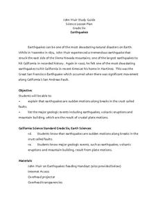
Earthquakes
Sixth graders explore reasons for earthquakes. They discuss and describe the types of faults. Using the internet, 6th graders research a specific location of a former earthquake. They describe the damage, magnitude, the epicenter,...
Curated OER
The Physical Geography of South Asia
Young scholars describe the physical forces that formed and shaped the Himalaya, then discuss the physical geography of Mount Everest and how it influences the routes climbers take to the summit.
Curated OER
Active Faulting in Idaho
Students use CAD maps to explore active faults in Idaho. Through observation of maps, they explore the layers of the Quaternary and Holocene faults. Individually, or in groups, they identify characteristics of faults such as scarps,...


