Hi, what do you want to do?
Curated OER
Making Sense of Unusual Findings
Students work on the development of observation skills and seeing how they can be used in different contexts. The lesson plan is good for helping the beginner and novice, along with encouraging and reminding the expert observer of right...
Curated OER
State Your Position
Students practice using a global positioning system. They discuss the use of celestial objects as navigation points and its problems. They list the advantages and disadvantages of GPS as well.
Curated OER
Hazard Mitigation: Bioterrorism
Students discuss different ways to spread infectious diseases. In this bioterrorism activity, students model the rate of smoke emission using CalRoad software. They analyze the effects of airborne release of...
Curated OER
Making Sense of Journey North Maps
Students use maps and answer core curriculum questions in order to increase comprehension and practice higher order thinking skills. This helps them develop writing skills through the practice of keeping Science Journals.
Curated OER
Life in a Cup
Third graders make and maintain a mini terrarium. They keep a daily journal of what happens in their terrarium and record daily observations and measurements.
Curated OER
Map-Making Basics
Students study maps. In this geography and art lesson, students create their own map of the classroom.
Curated OER
Planet Research
Students recognize that the other eight known planets, which revolve around the Sun, have characteristics and surface conditions that are different from Earth; and identify examples of those differences.
Curated OER
Careers in Science
Stuents explore the current job market for scientists. They explore types of jobs, salary range and job requirements. Students write a letter of application for a particular job.
Curated OER
Measuring and Identifying Trees with the Help of Technology
Middle schoolers arrange themselves into small groups. Each group chooses a distance to measure ( the distance between the slide and the swings, for instance). Person #1 walks the distance, counting the number of his or her steps. ...
Curated OER
Gopher, Part 2: Gopherin'
Students explore how to access a gopher site using a root menu. Several options are presented with their definitions and the fastest routes examined in this activity. The activity is designed for librarians with little or no net experience.
Curated OER
Algebra, Multiplication, and Division of Fractions
Students gain knowledge by measuring time and distance for solving unknowns in an equation. They also will design an airplane and chance to communicate mathematically by writing essays.
NASA
Nasa: Using Radiosonde Data From a Weather Balloon Launch
This lesson plan allows learners to learn about the layers of the atmosphere and to learn how to graph real atmospheric data.
NOAA
Noaa: National Climatic Data Center
Search the world's largest archive of weather data or click on the links to learn about extreme weather. Look up weather information about your city or town.
Illustrative Mathematics
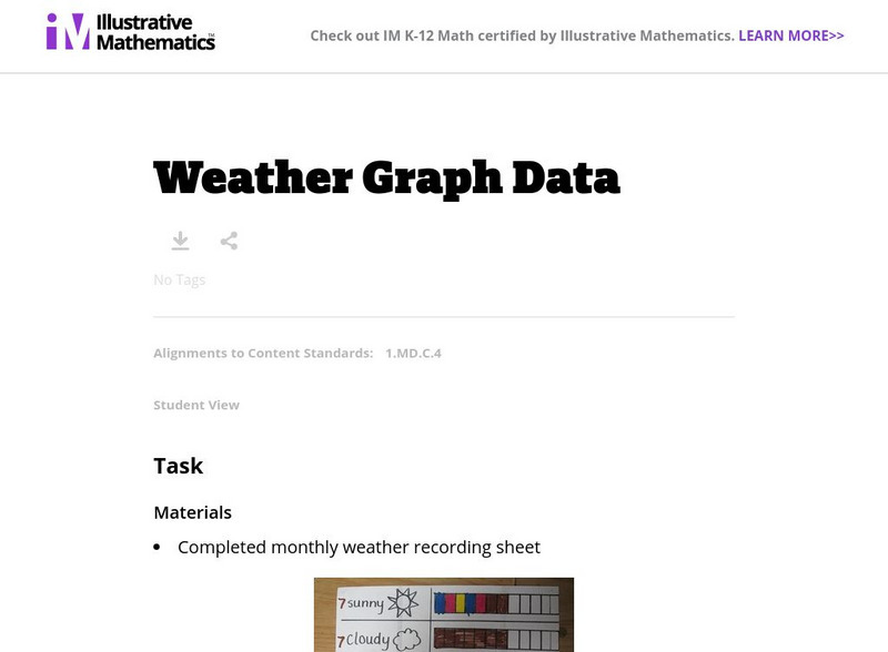
Illustrative Mathematics: Weather Graph Data
The purpose of this task is for students to represent and interpret weather data, as well as answer questions about the data they have recorded. Student worksheets and recording sheet are included.
Center for Innovation in Engineering and Science Education, Stevens Institute of Technology
Ciese: Weather Scope: An Investigative Study of Weather and Climate
The activities in this comprehensive weather unit are designed for Grade 6 and up. Students will use real time data from around the world to conduct an investigation about weather and climate.
Other
Bureau of Meteorology: About Weather Station Data
A page that can help select which weather data from the Bureau's observation station would be helpful in predicting weather patterns. "It briefly provides information about where you may find a Bureau weather station, what observations...
National Snow and Ice Data Center
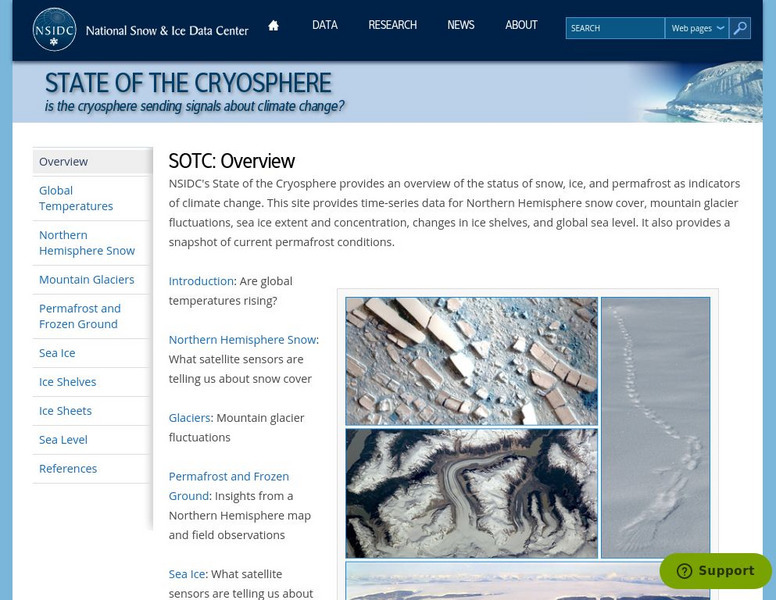
National Snow and Ice Data Center: State of the Cryosphere
This site provides thorough information about the status of snow and ice as indicators of climate change. This site has links to introductory information about the cryosphere, as well as info on specific area weather patterns.
Center for Innovation in Engineering and Science Education, Stevens Institute of Technology
Ciese: Wonderful World of Weather Project
If you're studying the weather, this is an excellent project for learners to develop their understanding of how weather is measured. They will use real time data from their location as well as from around the world to learn about weather...
NOAA
Noaa: National Climatic Data Center: Groundhog Day
Find background about Groundhog Day and the folklore involved. Look through the charts that show how closely Punxsutawney Phil's predicitions align with the actual weather.
PBS
Pbs Learning Media: Daily and Seasonal Weather: Interactive Lesson
Students investigate the relationship between daily weather and seasonal weather. Students will read about how weather data is collected, then interpret examples of weekly and monthly weather data to find seasonal patterns. Visual...
Other
Space weather.com
Want to know what the current weather conditions are in space? Find everything here you may want to know about the latest solar flares, sunspots, asteroids and more. Site also includes essential web links to quench any user's thirst for...
University Corporation for Atmospheric Research
Ucar: Get the Picture Severe Weather
Students review graphs and charts of severe weather data then answer "True and False" questions about the content conveyed.
Better Lesson
Better Lesson: Comparing the Weather
In order to meet Common Core standards, 2nd graders need to be able to interpret data to solve problems. This lesson provides practice in this area. Included in this lesson are a printable temperature chart and a video of second graders...
Climate Literacy
Clean: Investigating Weather and Climate With Google Earth
In this activity, students will investigate the change in global temperature by analyzing data on Google Earth for 13 different cities. Students will then interpret the climate patterns for those cities to make conclusion about the...


