Utah Education Network
Uen: Nhmu: Living Food Web
Fourth graders will be able to name some plants and animals that live in Utah's desert, forest or wetland ecosystems.
Adventure Learning Foundation
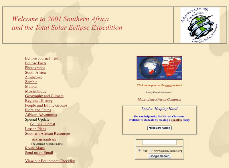
Adventure Learning Foundation: Southern Africa
Explore the geography, culture, history, and people of Southern Africa in this site. It includes journal excerpts, pictures, maps, and classroom activities.
Smithsonian Institution
National Museum of Natural History: American Mammals: Mexican Long Nosed Bat
The Mexican long-nosed bat feeds mainly on the nectar and pollen of agaves, and is found in Texas in June and July when the plants are in bloom there. Then it migrates southward into Mexico, where it lives in pine-oak forests and...
Curated OER
Etc: Maps Etc: Vegetation of North America, 1916
A map from 1916 of North America, Central America, Greenland, and the Caribbean to Puerto Rico showing the general distribution of vegetation types in the region. The map is color-coded to show natural vegetation in areas of ice desert,...
Curated OER
Educational Technology Clearinghouse: Maps Etc: Vegetation Map of Europe, 1916
A map of Europe showing areas of different types of natural vegetation including tundra and alpine flora, coniferous forests, broadleaf forests and meadows, temperate grasslands, deserts, and oases.
Curated OER
Educational Technology Clearinghouse: Maps Etc: North America, Vegetation, 1911
A map from 1911 of North America, Central America, Greenland, and the Caribbean to Puerto Rico showing the areas of primary vegetation types for the region. The map is color-coded to show areas of forests, areas of woodland, grass, and...
Curated OER
Etc: Maps Etc: Vegetation Distribution of South America, 1911
A map from 1911 of South America showing the distribution of vegetation types. The map is color-coded to show regions of forests, regions of woodlands, grass, and cultivation, regions of steppes and prairies, desert regions, and regions...
Curated OER
Unesco: Niger: Air and Tenere Natural Reserves
This is the largest protected area in Africa, covering some 7.7 million ha, though the area considered a protected sanctuary constitutes only one-sixth of the total area. It includes the volcanic rock mass of the Air, a small Sahelian...
Curated OER
Unesco: Argentina: Ischigualasto / Talampaya Natural Parks
These two contiguous parks, extending over 275,300 ha in the desert region on the western border of the Sierra Pampeanas of central Argentina, contain the most complete continental fossil record known from the Triassic Period (245-208...
Curated OER
Unesco: South Africa: Richtersveld Cultural and Botanical Landscape
The 160,000 ha Richtersveld Cultural and Botanical Landscape of dramatic mountainous desert in north-western South Africa constitutes a cultural landscape communally owned and managed. This site sustains the semi-nomadic pastoral...
Curated OER
Eternal Egypt: Oryx Amulet
The amulet depicts an oryx, a large desert-dwelling antelope that was hunted by the Egyptians. It is standing on the ground with plants attached to its neck.
Other popular searches
- Life Cycle Desert Plants
- Desert Plants Life
- Desert Plants Activity
- Desert Plants and Animals
- Worksheets on Desert Plants
- Namib Desert Plants
- Namibia Desert Plants
- Australian Desert Plants
- Evolution of Desert Plants
- Desert Plants Experiments
- Desert Plants and Medicine


