Hi, what do you want to do?
Texas A&M University
Ocean World: Icebergs
This site discusses where these monstrous blocks of ice come from and how they are formed. Also provides links to an interactive quiz, real-time data, icebergs in the desert, and more.
Travel Document Systems
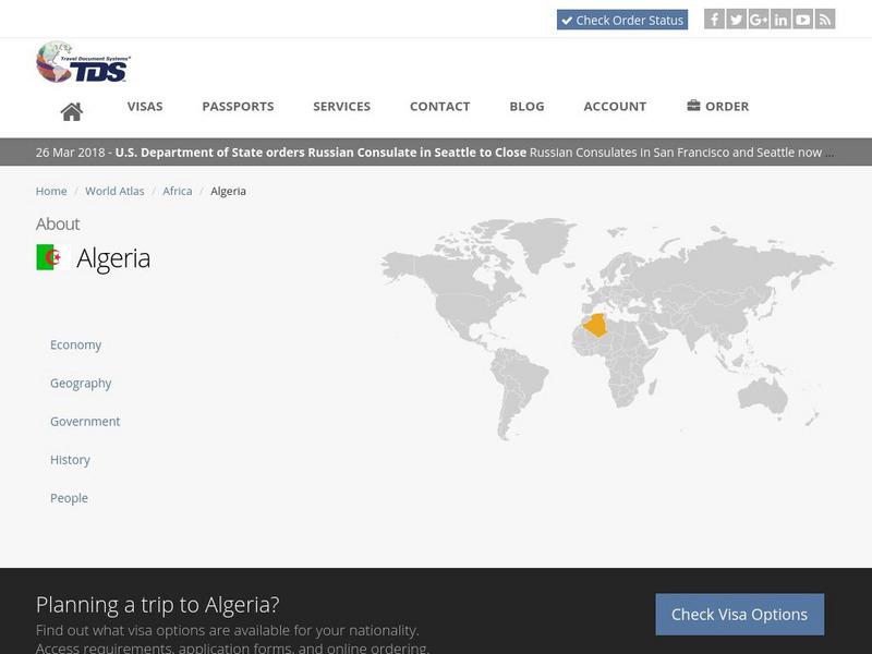
Tds: Algeria: Geography
A discussion of the geography of Algeria. You can read about the three distinct geographic regions, the climate, and the natural hazards. Information from the CIA World Fact Book.
ClassFlow
Class Flow: Continental Regions
[Free Registration/Login Required] A flipchart showing the different regions of the world: hot deserts, tundra, equatorial rainforest, Mediterranean, and also Irish landscapes. Some activities are included to present the vocabulary...
ClassFlow
Class Flow: Ecosystems
[Free Registration/Login Required] This flipchart explores the different ecosystems of the world, enhanced by embedded videos showing both the landscape and the plants and animals that can be found there.
Khan Academy
Khan Academy: Nasca Geoglyphs
Located in the desert on the South Coast of Peru, the Nasca Geoglyphs are among the world's largest drawings. Also referred to as the Nasca Lines, they are more accurately called geoglyphs, which are designs formed on the earth. View...
LM Digital Media
Kids World Fun: Waldo and the Desert Island Adventure [Pdf]
The ebook shares an imaginative adventure of a boy and his dog. In their imaginary voyage, they travel to a desert island.
Curated OER
Unesco: Chad: Lakes of Ounianga
The site includes eighteen interconnected lakes in the hyper arid Ennedi region of the Sahara desert covering an area of 62,808 ha. It constitutes an exceptional natural landscape of great beauty with striking colours and shapes. The...
Curated OER
Unesco: United Arab Emirates: Cultural Sites of Al Ain
The Cultural Sites of Al Ain (Hafit, Hili, Bidaa Bint Saud and Oases Areas) constitute a serial property that testifies to sedentary human occupation of a desert region since the Neolithic period with vestiges of many prehistoric...
Travel Document Systems
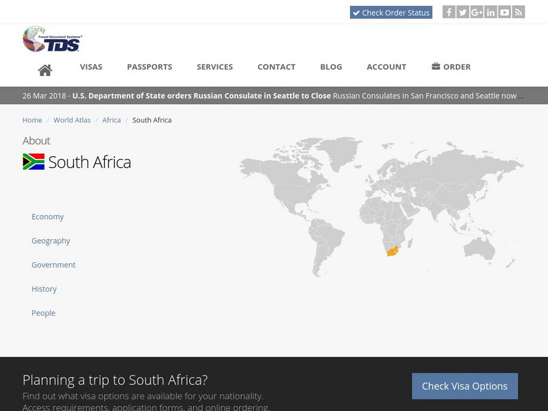
Tds: South Africa: Geography
A graphic showing the various aspects of the physical environment of South Africa including its climate, terrain, and natural resources. information is from the CIA World Fact Book.
Travel Document Systems
Tds: Djibouti: Geography
A brief description of the geography and physical environment of Djibouti. Information is from the CIA World Fact Book.
Travel Document Systems
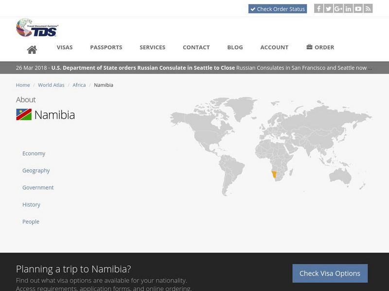
Tds: Namibia: Geography
A graphic showing the various aspects of the physical environment of Namibia. Find out about the climate, terrain, and natural resources. Information is from the CIA World Fact Book.
Travel Document Systems
Tds: Sudan: Geography
A graphic showing aspects of the physical environment of Sudan. Find out its area, climate, terrain, natural resources, and environmental concerns. Information is from the CIA World Fact Book.
Curated OER
Educational Technology Clearinghouse: Maps Etc: Asia, 1904
A map of Asia from 1904 showing country boundaries at the time, major cities, rivers, lakes, deserts, terrain, and coastal features. This map shows the extent of the Russian Empire and Turkish Ottoman Empire in Asia, the Empire of Japan...
Curated OER
Etc: Maps Etc: Physical, Political, and Economic Asia, 1872
A map of Asia from 1872, showing physical features including mountain systems, deserts, lakes, rivers with direction of flow, coastal features, and ocean currents, political boundaries and foreign possessions at the time, and commercial...
Travel Document Systems
Tds: Libya: Geography
A brief look at the geography of Libya listing information from the CIA World Fact Book. Find out about the climate, environment, resources, and land use.
Travel Document Systems
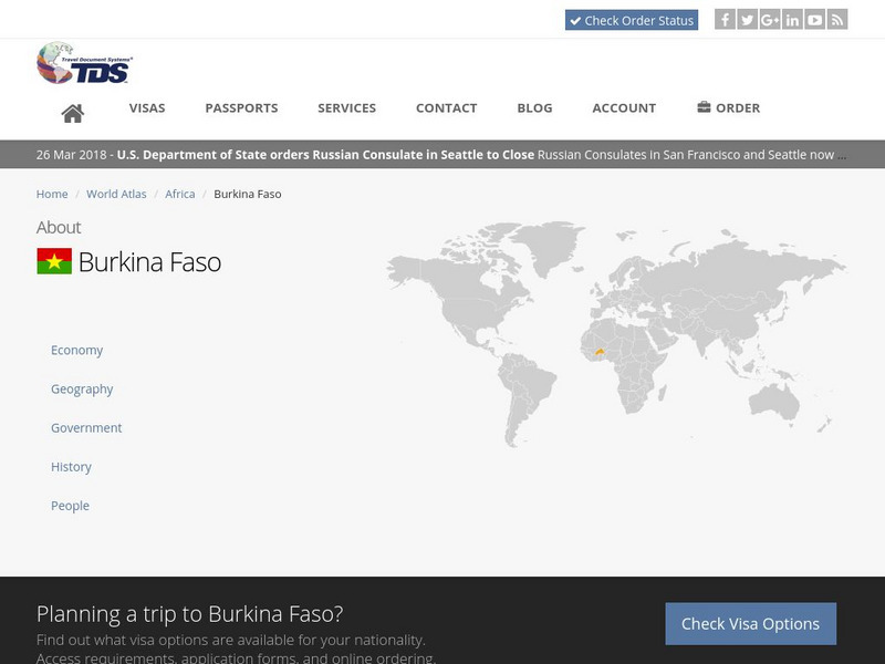
Tds: Burkina Faso: Geography
Read this article to find out about the geography, climate, wildlife, and size of Burkina Faso. From the CIA World Fact Book.
Travel Document Systems
Tds: Namibia: History
A look at the history of Namibia from the 14th century until its eventual independence in 1994. Information is from the U.S. State Dept. Background.
Harvey Mudd College
Harvey Mudd College: Rommel's Advances in North Africa
This site from the Harvey Mudd College describes the advances of Rommel and the German troops in North Africa and discusses the fighting that took place there in '41-'42.
Independence Hall Association
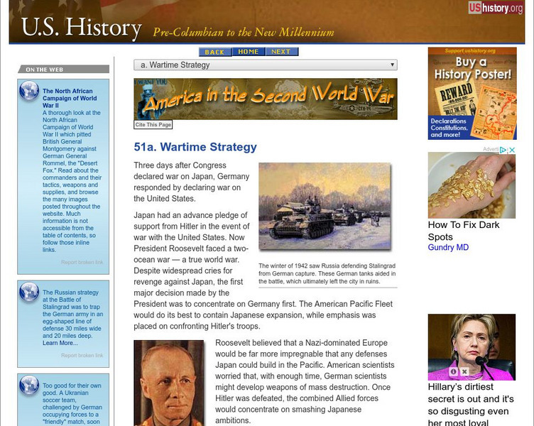
U.s. History: Wartime Stategy
Initial focus by the Americans in World War II was containing Germany. Read about the Allied war stategy to "close the ring" and deprive Germany of men and materiel.
Curated OER
Wikipedia: National Historic Landmarks in California: Rogers Dry Lake
Centerpiece of Edwards Air Force Base, this endorheic desert salt pan in the Mojave Desert has the worlds largest Compass Rose and the worlds largest runway at 7.2 miles. It is one of the alternate Space Shuttle landing sites.
Travel Document Systems
Tds: Botswana: Geography
A graphic showing the various aspects of Botswana's physical environment. Information is from the CIA World Fact Book.
Travel Document Systems
Tds: Angola: Geography
A brief look at the geography of Angola. Find out about the terrain, climate, and oil reserves. Information is from the CIA World Fact Book.
Travel Document Systems
Tds: Qatar: Geography
This information on the physical environment of Qatar is from the CIA World Fact Book. Especially interesting is the note about Qatar's strategic location.
Curated OER
Unesco: Chile: Humberstone and Santa Laura Saltpeter Works
Humberstone and Santa Laura works contain over 200 former saltpeter works where workers from Chile, Peru and Bolivia lived in company towns and forged a distinctive communal pampinos culture. That culture is manifest in their rich...


