Hi, what do you want to do?
Curated OER
Costa Rican Ecosystems
Young scholars read about the Cloud Forests in Costa Rica and then answer critical thinking questions about how to prevent loss in this forest and how to slow down global warming.
Curated OER
Island Formation
Students create models of how islands are formed by hot spots and then write a summary of their observations and of how they think their model relates to volcanic hot spots and island formation.
Curated OER
Cabeza de Vaca Meets the Coahuiltecans
Students examine the difference between primary and secondary sources by examining the journal of Cabeza de Vaca and creating a poster about the Coahuitecan Indian groups. They portray a scene of the groups in 16th Century south Texas.
Curated OER
Affects of Geography on Colonial Cultures
Sixth graders examine the effects of geography on the development of culture. They discuss how geography can affect the lifestyles and development of a society's culture. Students examine the geography and climate of New England and the...
Curated OER
John Muir - Around the World in 76 Years
Sixth graders create timelines of John Muir's life while playing a game based on John Muir's travels. They discover that John Muir traveled around the world to compare and contrast natural phenomena and to speak out about preserving...
Curated OER
Mongolia Geography
Students examine the geography and culture of Mongolia. Individually, they cut out cut-outs of animals to place on their maps and label the grasslands and desert areas. They locate major cities and rivers along with vegetation.
PBS
Pbs Learning Media: Mapping Landforms and Water Bodies: Lesson Plan
Learn about different landforms and water bodies and the various characteristics that make them distinct from one another in this lesson plan from WGBH. Navigate around a virtual island to unlock information -- including videos and...
Math Science Nucleus
Math/science Nucleus: Observing Different Landforms
Lesson plan with subsequent pages to use with the lesson. Images with landform word match up and additional work on earth modeling.
eSchool Today
E School Today: Landforms
Understand the formation and geology of different landforms around the Earth.
American Geosciences Institute
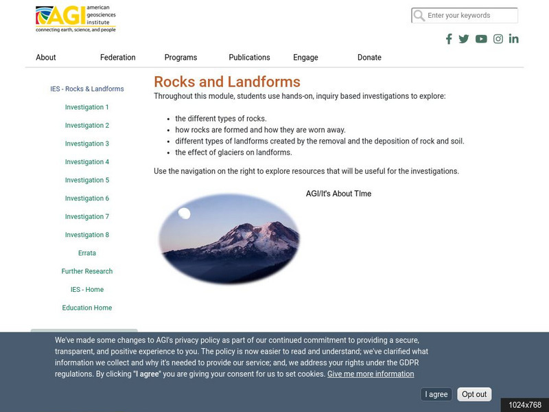
American Geosciences Institute: Rocks and Landforms
Eight hands-on lessons module where students learn about rocks and landforms. These inquiry-based investigations explore the different types of rocks, how they are formed, the different types of landforms, and the effects of glaciers on...
Scholastic
Scholastic: Study Jams! Science: Landforms, Rocks & Minerals: Landforms
A slideshow, a karaoke song to sing along to, and a short multiple-choice quiz on the topic of landforms, some different types, and how they are formed.
Science Struck
Science Struck: Types of Landforms
Describes different landform types and their features. includes many good quality photographs.
E-learning for Kids
E Learning for Kids: Science: Mediterranean Sea: Which Types of Landforms Do We Know?
Join Aldo, and learn about many different types of geological landforms.
PBS
Pbs Learning Media: Earth's Systems Collection: Bringing the Universe to America's Classroom
Explore different landforms and bodies of water around the world, observe and map landforms and water features, and practice observation and analysis skills through a virtual landscape and animated adventure in Plum's Island Explorer....
University of Washington
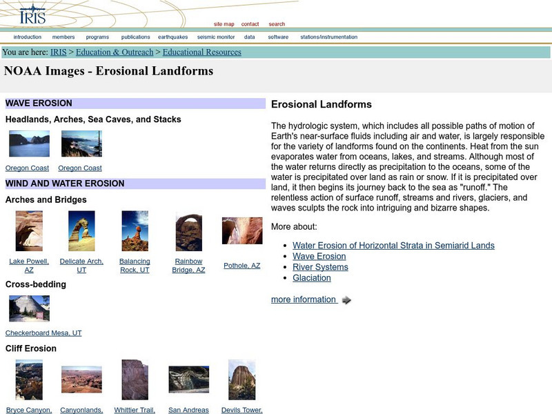
Iris: Noaa Images: Erosional Landforms
Examples, with images, of different types of landforms created by water and wind erosion.
Better Lesson
Better Lesson: What Shapes the Land?
In this lesson, the teacher will read a book about different landforms. The children will learn about the features of the landforms and how they were shaped by natural forces. Then text features will be discussed. The children will then...
Scholastic
Scholastic: Study Jams! Science: Landforms, Rocks & Minerals: Igneous Rocks
A slideshow, a karaoke song to sing along to, and a short multiple-choice quiz on the topic of igneous rocks, how they are formed, and some different types.
Other
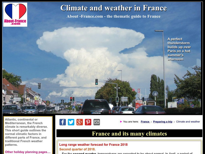
About France: Climate of France
Have a look at how the different landforms throughout the country of France affect its weather and climate patterns. 2010's chaotic weather is highlighted as well.
Other
Bscs: Earth's Changing Surface Lesson 2: Landform Detectives
Using relief maps, students will learn that landforms can be different from one place to another. Included are a minute-by-minute lesson plan, activities, and teacher discussion points and questions.
Other
Bscs: Earth's Changing Surface Lesson 1: Our Land
This hands-on lesson focuses on the land and its many different types of landforms and bodies of water. Included are a minute-by-minute lesson plan, activities, and teacher discussion points and questions.
PBS
Pbs Learning Media: Earth's Systems: Map It
Explore different types of maps and how different things are represented on maps in this media gallery from WGBH. Maps are used to help locate different places and different things. Map symbols are representations of larger things in the...
Science Struck
Science Struck: How Mountains Are Formed
Read about the different types of mountains and how they are formed.
Houghton Mifflin Harcourt
Harcourt: School Publishers: Types of Land
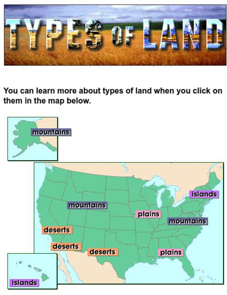
This clickable map of the United States defines different geographic features such as mountains, plains, islands, and deserts.


