Hi, what do you want to do?
Curated OER
Washington, D.C. Map
Here is an outline map of Washington, DC. Some of the points of interest in the city are labeled, as are Maryland, Virginia and Arlington. There are plenty of important monuments and locations not identified, making for a good...
PBS
Pbs Learning Media: Earth's Systems: Map It
Explore different types of maps and how different things are represented on maps in this media gallery from WGBH. Maps are used to help locate different places and different things. Map symbols are representations of larger things in the...
Other
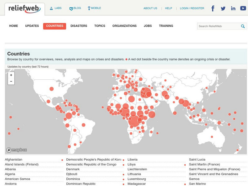
Relief Web: Countries
This resource provides information on countries throughout the world, current news, and different types of maps.
Other
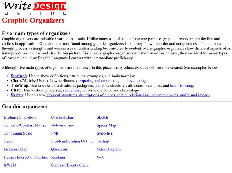
Five Main Types of Graphic Organizers
This site provides information on how to use each graphic organizer. There are also 21 different graphic organizers for you to see.
Other
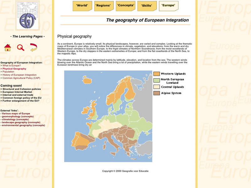
The Learning Pages: Geography of European Integration
This page has a map showing the 4 different types of land located in Europe. Information is provided on Europe as well as links to more maps and information.
Curated OER
Educational Technology Clearinghouse: Maps Etc: Vegetation Map of Europe, 1916
A map of Europe showing areas of different types of natural vegetation including tundra and alpine flora, coniferous forests, broadleaf forests and meadows, temperate grasslands, deserts, and oases.
Curated OER
Educational Technology Clearinghouse: Maps Etc: Geology of Eastern Canada, 1911
A sketch map of eastern Canada showing the general location of different types of rocks in this part of Canada. Within the heavy black lines are found chiefly metamorphic and igneous rocks, and chiefly sedimentary rocks without. The...


