Hi, what do you want to do?
Discovery Education
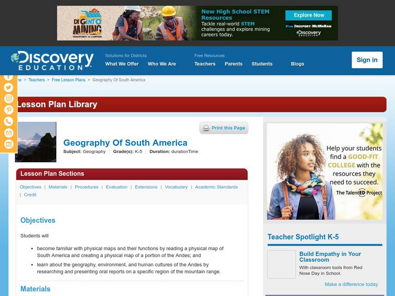
Discovery Education: Geography of South America
Introduce your learners to South America with this physical map activity. The resource contains a detailed lesson plan to help students learn about the geography, people, and environment of South America.
National Humanities Center
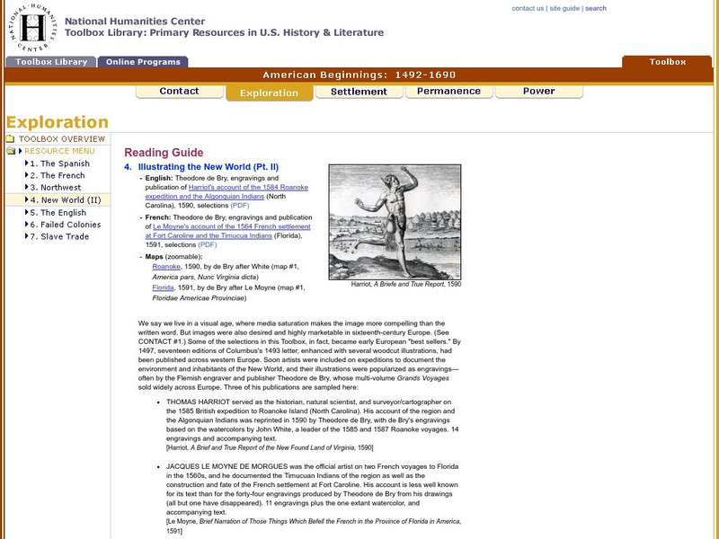
National Humanities Center: Toolbox Library: New World: Part Ii, American Beginnings: 1492 1690
Two European maps of Florida and Roanoke, and a British and a French account-with associated engravings of these settlements-that promote a European interpretation of and claim over these areas.
Library of Congress
Loc: Portuguese Mapping the New World
The Library of Congress provides a discussion of the importance of Portugal in the "European Age of Discovery and Exploration." Includes links to related pages within this same Library of Congress site.
Curated OER
Etc: Maps Etc: The Mississippi River Route of Hennepin, 1697
A facsimile of a portion of the map created in 1697 describing the exploration and discoveries of Father Louis Hennepin in New France and Along the Mississippi. The map shows the region from the Great Lakes to the Gulf of Mexico along...
Curated OER
Western Hemisphere, Detail of Universalis Cosmographia, 1507
English, Spanish, and Portuguese maps and letters about exploration and impressions of the Western hemisphere in the early 1500s. T
Curated OER
Educational Technology Clearinghouse: Maps Etc: Virginia, 1577
A facsimile of an early map (1651) showing the discoveries of Sir Francis Drake in North America, including the coastline of Ould Virginia and Maryland, the Bay of Checepiake (Chesapeake Bay), Lord Delaware Bay, Cape Hatteras and Cape...
ibiblio
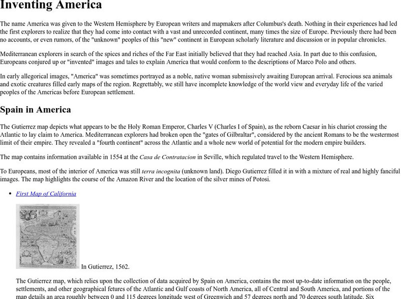
Ibiblio: 1492: An Ongoing Vogage: Inventing America
Archived exhibition reveals how European writers and mapmakers thought about America during the Age of Discovery. Describes the allegorical images Europeans sometimes used to portray America and features the Gutierrez map, drawn in 1562,...
Curated OER
Educational Technology Clearinghouse: Maps Etc: French Discoveries, 1600 1762
A map of northeastern North America showing the progress of French discovery in the interior of their claimed territories between 1600 and the French and Indian War (1762). The map is color-coded to show the French possessions and...
Curated OER
Etc: Early Discoveries and Explorations, 1497 1621
A map of the eastern coast of North America showing early European exploration from the voyages of Cabot (1497 and 1498) to the founding of New Netherlands in 1621. The map shows voyage routes, coastal features, rivers, and settlements...
Curated OER
Vinland, From Accounts Contained in Old Northern Maps, Eleventh Century
A map of Massachusetts Bay and Cape Cod showing the area of early Norse exploration in America. "In 986 A.D. a Norseman named Herjulfson, who was voyaging from Iceland to Greenland, was driven by a gale far out of his reckoning to the W....
Annenberg Foundation
Annenberg Learner: American Passages: Exploring Borderlands:christopher Columbus
This passage features explorer Christopher Columbus as an author documenting his travels and experiences through letters and such. Click on "Christopher Columbus Activities" for related artifacts and activities.
Curated OER
Etc: Proposed Isthmian Canal Routes, 1848 1884
A map of the proposed isthmian canal routes in Nicaragua and Panama between 1848-1884. The map shows the two chief proposals, the Nicaraguan from Greytown on the Caribbean to Lake Nicaragua and Brito on the Pacific, and the Panama...


