Curated OER
"We Didn't Start the Fire"
Students extract geographical and historical information from the lyrics of a popular song, make associations between people, places, and events, and plot their information on a map.
Curated OER
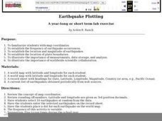
Earthquake Plotting
Students become familiar with map coordinates. They establish the frequency of earthquake occurrences and study the location and magnitude of earthquakes. To establish the location of plate boundaries.
Curated OER
What in the World?
Eighth graders plot points of longitude and latitude on a world map. In groups, they create a model of the earth's interior and label the parts,
Curated OER
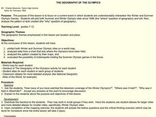
The Geography of the Olympics
Students plot the location of the Winter and Summer Olympics since 1896. Using the maps, they analyze data on where the Olympics have been held and discuss why that location was chosen. They discuss the possiblity of Indianapolis...
Curated OER
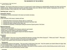
The Geography of the Olympics
Students plot both Summer and Winter Olympic sites since 1896 and analyze the pattern of dots created. They evaluate the possibility of Indianapolis holding the Summer Olympic games in the future.
Curated OER
What Is That Bubblin' In My Back Yard?
Students are introduced to the GIS system. They create a map plotting local sites the Environmental Protection Agency has on its EPA Regulated Sites list. They identify a list of schools that are near potentially hazard sites.
All for KIDZ
The Orphan of Ellis Island
Everyone comes from somewhere. An interdisciplinary lesson on Elvira Woodruff's The Orphan of Ellis Island includes discussion starter and writing prompts for the novel, as well as a graphic organizer to help learners begin their...
Curated OER
Tag It and Bag It: Archeology Lab Lesson
Seventh graders practice analyzing, collecting and categorizing artifacts. Using charts, they organize and interpret information about the artifacts they classified. They work together to create a graph to represent class totals and...
Curated OER
Learning Lesson: Analyzing a Weather Map
Students use weather maps to locate warm and cold fronts. They discover the different types of weather associated with these fronts. They also observe the weather in their local area.
Curated OER
Big Apple, Here We Come
Students role play the role of immigrants coming to America for the first time. They complete an imaginary trip with their family and must rent a car and make seven stops along the way. They calculate distances and use maps to...


