Hi, what do you want to do?
Metropolitan Museum of Art
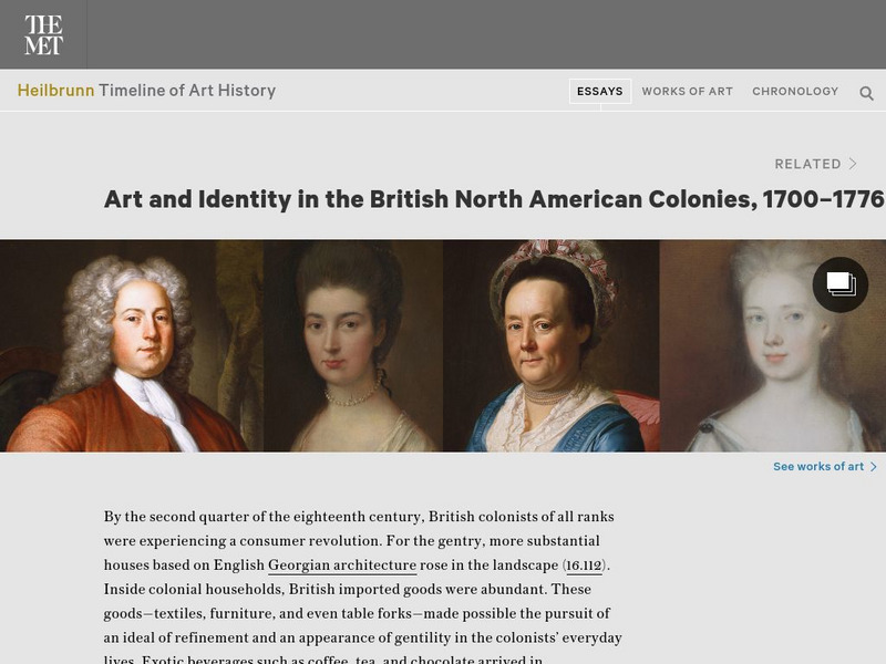
Metropolitan Museum of Art: Art and Identity in British North American Colonies
Consider the English identity of American colonists by examining the sorts of imported goods and decorative arts Americans chose to purchase and display.
University of Groningen
American History: Outlines: Colonial Economy
Whatever early colonial prosperity there was resulted from trapping and trading in furs. In addition, the fishing industry was a primary source of wealth in Massachusetts. But throughout the colonies, people relied primarily on small...
Travel Document Systems
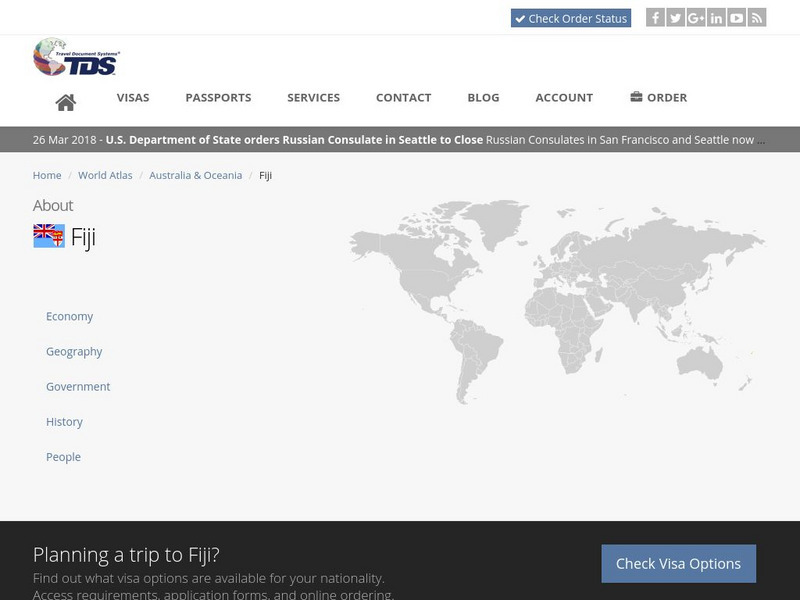
Tds: Fiji: History
Read this history of Fiji to find out about its early history, colonization by Britain, and its many governmental problems since the 1990s. Information is from the U.S. State Dept. Background Notes.
Curated OER
Educational Technology Clearinghouse: Maps Etc: North American Colonies, 1643
A map of the North American Colonies in 1643 at the establishment of the New England Confederation. The map is color-coded to show the territorial claims of the British, French, Dutch, and Swedish at the time, and shows the British...
Curated OER
Etc: Colonies During the French and Indian Wars , 1754 1763
A map of eastern North America at the time of the French and Indian War (1754-1763). The map is color-coded to show the possessions of the British, French, and Spanish at the time. The map shows the British colony boundaries, major...
Curated OER
Etc: Maps Etc: British Possessions in North America, 1765
A map showing the British possessions in North America in 1765 after the French and Indian War, as defined by the Treaty of 1763, Proclamation of 1763, and the Royal Orders of 1764-1767. The map shows the British Colonies on the...
Curated OER
Etc: Maps Etc: British Possessions in North America, 1775
A map showing the British possessions in North America in 1775, before the outbreak of hostilities during the American Revolutionary War. The map shows the boundaries of the British Colonies along the Atlantic, the Proclamation Line of...
Ducksters
Ducksters: United States History and Timeline Overview
Kids learn about the history and timeline of the country of the United States including early British colonies, the American Revolution, Civil War, World War I and 2, Civil Rights, and the Cold War.
Colonial Williamsburg Foundation
Colonial Williamsburg: Numismatics: Coins and Currency in Colonial America
Valuable lessons in the history of Europeans' early exploration and settlement of America can be gained by following the money used in trade. Coins and Currency exhibition lets you examine evidence of Spanish, British, Dutch, French, and...
Travel Document Systems
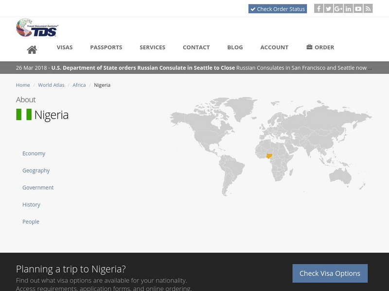
Tds: Nigeria: History
Read about the early history of Nigeria and the kingdoms that existed there. However, the majority of the article focuses on the problems Nigeria has faced since independence in establishing a democratic government. Information is from...
Curated OER
Educational Technology Clearinghouse: Maps Etc: North American Colonies, 1783
A map of eastern North America in 1783 at the end of the American Revolutionary War, showing the territory of the newly formed United States as proposed by the Treaty of Paris, the Canadian border extending to the Ohio River proposed by...
Schools of California Online Resources for Education
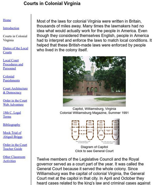
Colonial Williamsburg Teacher Institute: Courts in Colonial Virginia
Overview of the early court system in Colonial Virginia and the challenges colonists faced interpreting British law for local purposes.
Curated OER
Etc: Types of Colonial Governments, 1682 1730
A series of three maps of the British colonies in North America showing the types of colonial governments between 1682, 1692, and 1730, and the shift from charter colonies electing their own governors to the colonies with councilors...
Curated OER
Etc: Native American Delimitations, 1763 1770
A map of the American colonies and territories west to the Mississippi River between the end of the French and Indian War of 1763 and the beginnings of westward expansion of the trans-Appalachian colony proposed in the Vandalia Project...
Curated OER
Etc: Maps Etc: Designation of Members to the General Stamp Act Congress, 1765
A map of the British Colonies showing the colonies participating in the Stamp Act Congress of 1765 held in Federal Hall, New York City. The map shows the number of delegates from each colony, and the colonies that refused to call...
Curated OER
Educational Technology Clearinghouse: Maps Etc: First Continental Congress, 1774
A map of the British Colonies showing the colonies participating in the First Continental Congress of 1774 held in Philadelphia. The map shows the number of delegates from each of the twelve colonies that participated (the Province of...
Curated OER
Etc: Boundary Dispute Between Md and Pa, 1681 1767
A map showing the boundary dispute between the British colonies of Pennsylvania, Maryland, and Delaware between 1681 and 1767. The map shows the lands in dispute, as English King Charles II paid his debt to William Penn by issuing him a...
Curated OER
Etc: Maps Etc: Designation of Members to the General Congress of Albany, 1754
A map of the British Colonies showing the colonies participating in the Albany Congress of 1754 and the number of delegates from each.
University of Groningen
American History: Outlines: Colonial Indian Relations
By 1640 the British had solid colonies established along the New England coast and the Chesapeake Bay. In between were the Dutch and the tiny Swedish community. To the west were the original Americans, then called Indians.
Other
All the News? American Revolution & Maryland's Press
Explore this collection of digitized historical newspapers and broadsides from the 1760s about pre-Revolutionary topics. Requires Adobe Reader.
University of Groningen
American History: Outlines: Colonial Indian Relations
By 1640 the British had solid colonies established along the New England coast and the Chesapeake Bay. In between were the Dutch and the tiny Swedish community. To the west were the original Americans, the Indians.
Curated OER
Etc: Maps Etc: Greene's Campaign in the South, 1781
A map of the southern Colonies showing the area of General Nathaneal Greene's campaign (1781) against the British under Charles Cornwallis in the closing years of the American Revolution. The map shows the important sites of Cowpens,...
Independence Hall Association
U.s. History: Britain in the New World
Read about the early English explorers and find out why other countries did much more early exploration than the British. The defeat of the Spanish Armada turned the tide. Discover why the English now could explore and plant colonies.
Ducksters
Ducksters: Australia History and Timeline Overview
Kids learn about the history and timeline of the country of Australia including Captain James Cook, early settlers, British penal colony, independence, and recent events.


