Hi, what do you want to do?
Texas A&M University
Sons of De Witt Colony Texas: Gutierrez De Lara: In Nuevo Santander
Jose Gutierrez de Lara, the first governor of Mexican Texas, was determined to free Mexico from Spain. Read about the early Texas settlement of Nuevo Santander, and how it was settled by Spanish American colonists.
Schools of California Online Resources for Education
Revolution to Reconstruction:court Architecture and the Development of Democracy
Article on the ways in which Colonial court architecture contributed to and fostered the notion of community and democracy.
Other
Mission Us: Pennywhistle Hero
Interactive website teaches students about U.S. history in this game using instruments and songs of the colonial era. Levels of difficulty vary.
Other
Access Genealogy: Pequot Indian History
A description of the history of the Pequot Indians and their relations with their neighboring tribes and the early English colonists in New England.
Countries and Their Cultures
Countries and Their Cultures: Chagga Kinship
In the nineteenth century the Kichagga-speaking people on Mount Kilimanjaro were divided into many small, autonomous chiefdoms. Early accounts frequently identify the inhabitants of each chiefdom as a separate "tribe." Although the...
Other
Vietnamese Culture: Vietnamese History
Click on "Vietnam's History in Brief" to get a timeline of important events in the country's history. For more depth, click on the individual topics to learn about everything from Vietnam's early history through to the Vietnam War.
National Humanities Center
National Humanities Center: Toolbox Library: First Arrivals, American Beginnings: 1492 1690
Numerous visual images of artifacts from English settlements at Jamestown and at Plymouth, and from Spanish settlement in Hispaniola, and three original accounts of each of those early settlements that describe the possibilities and the...
National Humanities Center
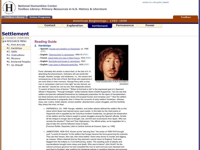
National Humanities Center: Toolbox Library: Hardships, American Beginnings: 1492 1690
Three English, a French, and a Spanish primary account of the staggering losses, misery, and deprivation that characterized early European settlement as well as the resilience needed to overcome those challenges.
Houghton Mifflin Harcourt
Harcourt: Biographies: Anne Hutchinson (Spanish)
A review of the events in the life of Anne Hutchinson, a brave, early American settler. Learn how Anne Hutchinson felt about religion and the way people should worship God. (In Spanish)
University of Oxford (UK)
Pitt Rivers Museum: Robert Hottot's Expedition to Central Africa, 1908 09
An online exhibition which documents a scientific expedition up the Congo river in the early 1900s. You can view the complete photos, documents, and equipment by clicking on the left side navigation bar.
Other
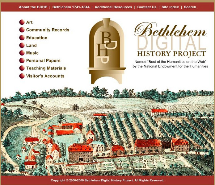
Bethlehem Digital History Project
Provides online access to digitized primary source materials, transcriptions, translations and contextual information relating to the early history of Bethlehem, Pennsylvania, 1741 - 1844.
Library of Virginia
Virginia Memory: Nova Britannia
In this lesson, students learn about how early promoters advertised the Virginia colony.
Read Works
Read Works: What Did People Wear?
[Free Registration/Login Required] A literary text about the clothes worn by early Americans. A question sheet is available to help students build skills in reading comprehension.
Smithsonian Institution
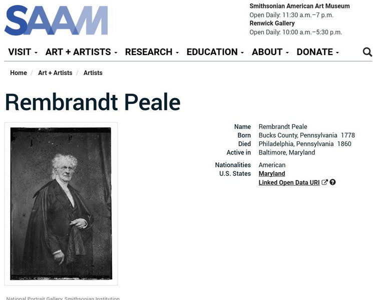
Smithsonian American Art Museum: Rembrandt Peale
From the Luce Foundation Center at the Smithsonian American Art Museum, this is a portrait photograph and biography of Rembrandt Peale, the early American portrait painter and most of famous of the Peale brothers family of artists.
Lumen Learning
Lumen: American and Puritan Literature: Sinners in the Hands of an Angry God
"Sinners in the Hands of an Angry God" is a sermon written by British Colonial Christian theologian Jonathan Edwards, preached to his own congregation in Northampton, Massachusetts to an unknown effect, and again on July 8, 1741, in...
Independence Hall Association
U.s. History: Britain in the New World: The House of Burgesses
The Virginia House of Burgesses was the first elected legislature in the New World. Find out why the governmental conditions in England led to this representative government and how it was so different from the governing of colonies in...
Varsity Tutors
Varsity Tutors: Archiving Early America: Abigail Smith Adams
This resource provides a brief biography of Abigail Adams (1744-1818 CE).
Varsity Tutors
Varsity Tutors: Archiving Early America: Letters From a Pennsylvania Farmer
A voice of dissent prior to the American Revolution, John Dickenson, a Philadelphia lawyer, was active in protesting British policies. His writings, entitled Letters from a Pennsylvania Farmer, were published in newspapers in 1767 and 1768.
Other
Uwo: Early Writing in Canada Susannah Moodie
These are excerpts from Susannah Moodie's book 'Roughing it in the Bush'.
Varsity Tutors
Varsity Tutors: Archiving Early America: Boston Massacre
This resource provides a short account of the Boston Massacre. Includes the famous engraving done by Paul Revere. Be sure to click on the hyperlinks to access the primary sources about the event.
Other
Early 16th European History
This site breaks down the history of Europe by year between 1525-1558. It discusses the political maneuverings of the period, the social conditions, and the conflicts that arose with religious and political disputes.
Other
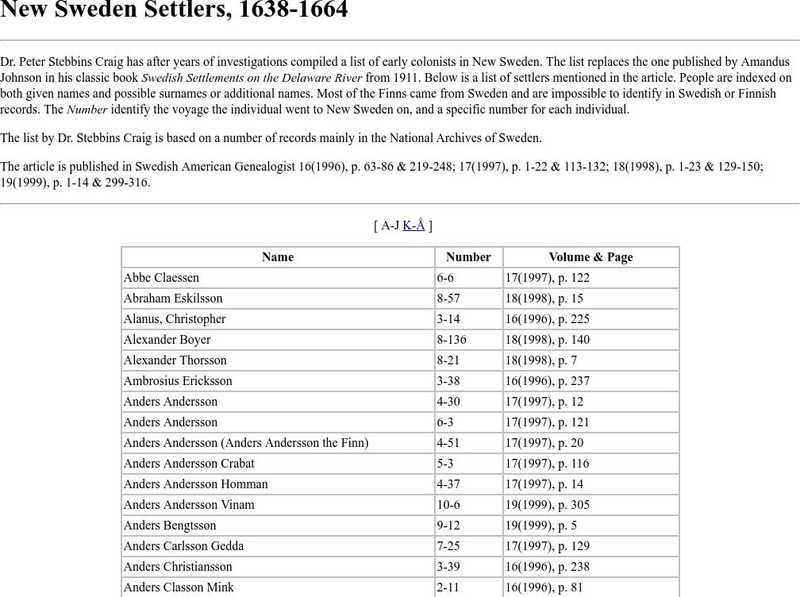
New Sweden Settlers, 1638 1664
A list of early colonists in New Sweden based on a number of records mainly in the National Archives of Sweden.
University of Notre Dame
University of Notre Dame: History of American Education
This site from the University of Notre Dame contains great information on the History of American Education. This particular page is maintained by one of the professors at the college and contains links to information on the subject.
Quia
Quia: The English Colonies
Test your knowledge of the thirteen colonies with these interactive games. You'll find matching, concentration, flashcards, and a word search, along with a list of terms to refresh your memory.
Other popular searches
- The Early Colonists
- Laws of Early Colonists
- Early Colonists Symbols
- Laws for Early Colonists
- The Early Colonists Symbols


