PBS
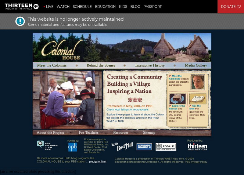
Wnet: Thirteen: Colonial House
Companion website for Colonial House, a televised experiment in historical reenactment, provides information and insight about what daily life, in 1628, must have been like for English settlers in early America. With video clips from the...
George Mason University
Chnm: Differences Among Colonial Regions
Students will explore the differences among the three colonial regions of New England, Mid-Atlantic/Middle, and the Southern colonies. In small groups for each region, students will observe and note details of pictures, maps, and...
National Humanities Center
National Humanities Center: Toolbox Library: Go Ahead, American Beginnings: 1492 1690
A Spanish, an English, and a French account of the enormous challenges in maintaining a colonial presence in North America and of the potential national loss-of pride, wealth, and possibility for expansion-if nations abandoned these...
Annenberg Foundation
Annenberg Learner: United States History Map: Colonists
Use these interactive maps to see and read about the colonization of the New World by several European nations. When you are finished looking at the maps, test your skills with the European Colonies Challenge.
The History Place
The History Place: Early Colonial Era
This site from The History Place provides a timeline of significant events between (1000-1700) win the discovery and colonization of the New World.
Curated OER
Early Settlements in New England and Distribution of the Indian Tribes, 1686
A map of the Dominion of New England (1686), showing the early settlements and the general tribal lands of the Pawtuckets, Massachusetts, Wampanoags, Narragansets, Nipmucks, Pequods, and Mohegans. "New England, a collective name given to...
Curated OER
Insula Hyspana, 1494
Numerous visual images of artifacts from English settlements at Jamestown and at Plymouth, and from Spanish settlement in Hispaniola, and three original accounts of each of those early settlements that describe the possibilities and the...
Curated OER
Facial Reconstruction of Skull Excavated in Jamestown
Three English, a French, and a Spanish primary account of the staggering losses, misery, and deprivation that characterized early European settlement as well as the resilience needed to overcome those challenges.
National Humanities Center
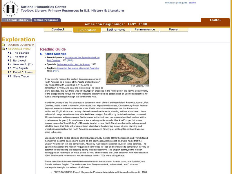
National Humanities Center: Toolbox Library: Failed Colonies, American Beginnings: 1492 1690
Three European accounts of the disappointments, challenges, and outright failures to establish early successful colonial outposts in North America.
Other
Historical Museum of Southern Florida : The Spanish Colonization of Florida
Follow the early colonization of Florida. From explorers to settlers to trades between England and Spain, and finally to the emergence of the American territory of Florida.
Khan Academy
Khan Academy: French and Dutch Exploration in the New World
Outline text explaining how the French, Dutch, and English explorers began to make inroads into the Americans in the late 1500s and early 1600s.
Curated OER
Educational Technology Clearinghouse: Maps Etc: Ancient Pemaquid, 1625
A sketch map of the Pemaquid Patent of Maine (near Bristol) in 1625. The map shows the early English settlement of Popham's Port, and the settlements of Wiscasset and Bath.
Curated OER
Educational Technology Clearinghouse: Maps Etc: Vicinity of Jamestown, 1872
A map of the early English settlements in Virginia.
University of Groningen
American History: Outlines: Jamestown
This site provides information about the founding and development of the settlement at Jamestown.
Curated OER
Educational Technology Clearinghouse: Maps Etc: Middle Colonies, 1620 1702
A map of the New Jersey Colony between the establishment of the Dutch settlement at Bergen (1620) and the unification of East and West Jersey in 1702. The map shows the 'North River’ (Hudson River) and 'South River’ (Delaware River), the...
Curated OER
Educational Technology Clearinghouse: Maps Etc: Roanoke Island, 1585
A base map of eastern Virginia and North Carolina showing Roanoke Island, site of the first attempt to establish an English settlement by Sir Walter Raleigh in 1585.
Curated OER
Educational Technology Clearinghouse: Maps Etc: Pequod (Pequot) War, 1636 1638
A map of southern Connecticut and Rhode Island showing the area of the Pequot War (1636-1638) between the allied Massachusetts and Plymouth colonies against the Pequot tribe. The map shows the territories of the Mohegans, Narragansetts,...
Curated OER
Educational Technology Clearinghouse: Maps Etc: Jamestown and Plymouth, 1620
A map of the two principal English settlements in North America under the charters of the Virginia Company, with the London Company (Jamestown-1607) in the south, and the Plymouth Company (Plymouth-1620) in the north.
Curated OER
Etc: New Sweden and New Netherland, 1614 1664
A map of the area from the Delaware Bay to the Connecticut River showing the territory claimed by the Dutch as New Netherlands (1614-1664) and the territory around the Delaware Bay and Delaware River claimed by Sweden as New Sweden...
Curated OER
Etc: The Territory of the Present Us During the French Indian Wars, 1755 1763
A map of North America showing the foreign possessions in the area of the present United States during the French and Indian Wars (1755-1763) between the French and English. This map is color-coded to show territorial claims at the time...
Curated OER
Educational Technology Clearinghouse: Maps Etc: Intercolonial Wars, 1689 1713
A map of eastern colonial North America showing the struggle for supremacy between England, France, and Spain in the region, from the King William's War (1689-1692) to Queen Anne's War (1702-1713), a period also known as the...
Curated OER
Educational Technology Clearinghouse: Maps Etc: The Iroquois Country, 1768
A map of the Finger Lakes region of Upstate New York showing the Iroquois Six Nations lands as established by the Fort Stanwix treaty of 1768. The map show the expansion of English colonial settlers into the upper Hudson River Valley...
University of Groningen
American History: Outlines: Colonization
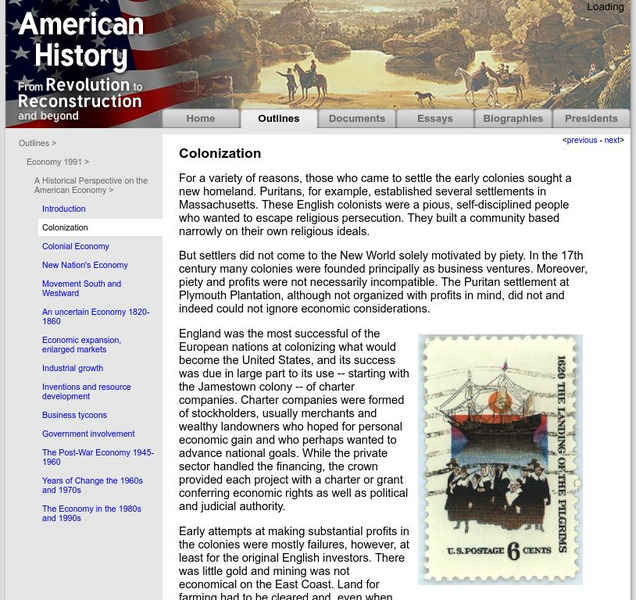
For a variety of reasons, those who came to settle the early colonies sought a new homeland. Puritans, for example, established several settlements in Massachusetts. These English colonists were a pious, self-disciplined people who...
Curated OER
Spanish Fort of San Agustin, 1589
A Spanish, an English, and a French account of the enormous challenges in maintaining a colonial presence in North America and of the potential national loss-of pride, wealth, and possibility for expansion-if nations abandoned these...
