Hi, what do you want to do?
Curated OER
American Civilization - The Ice Age
First graders discuss the Ice Age land bridge over the Bering Straits and how it affected the population of the Americas. They construct a clay model of the land bridge and research common animals of the time.
National Endowment for the Humanities
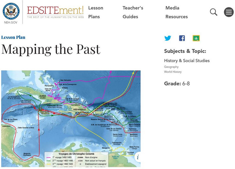
Neh: Edsit Ement: Mapping the Past
Students will examine European world maps from the Middle Ages, the Age of Discovery, and the period of New World exploration. They will then look at maps that record the early exploration of the American West and collect present-day...
PBS
Wnet: Thirteen: Interactive Map: Manhattan in 1609: Dutch New York
Explore Dutch New York through this historical interactive map and learn what wildlife, landscape, and people lived there in 1609 compared with today. Click on 'Interactives' for additional resources, e.g., a 1626 letter from Peter...
British Library
British Library:northwest Passage: Early Approaches, a Historical Account
Read about the early attempts to find a way through the Northwest Passage. Included are portraits and early maps of the explorers.
University of Calgary
European Voyages of Exploration: Geography and Cartography
This site provides information on mapmaking and cartograohy of the early explorers. Includes pictures of maps.
Library of Virginia
Virginia Memory: Blank Space: Mapping the Unknown
How did early maps show the mapmakers' perception of the known world? Early mapmakers used maps drawn from coastal explorations, land travels, and even information heard word of mouth from American Indians or from colonists or traders....
The Newberry Library
Newberry Library: Mapping Chicago and the Midwest, 1688 to 1906
Learning resource uses maps to tell the early history of Chicago and the Midwest and explores how nations use maps to secure control of a region.
University of Texas at Austin
Ut Library Online: Historical Maps of the United States
This extensive collection of Historical United States maps from the University of Texas Library Online cover early inhabitants, exploration and settlement, territorial growth, military history, and later historical maps. These maps are...
Khan Academy
Khan Academy: French and Dutch Exploration in the New World
An overview of the French, Dutch, and English explorers in the late 1500's and early 1600's.
The Newberry Library
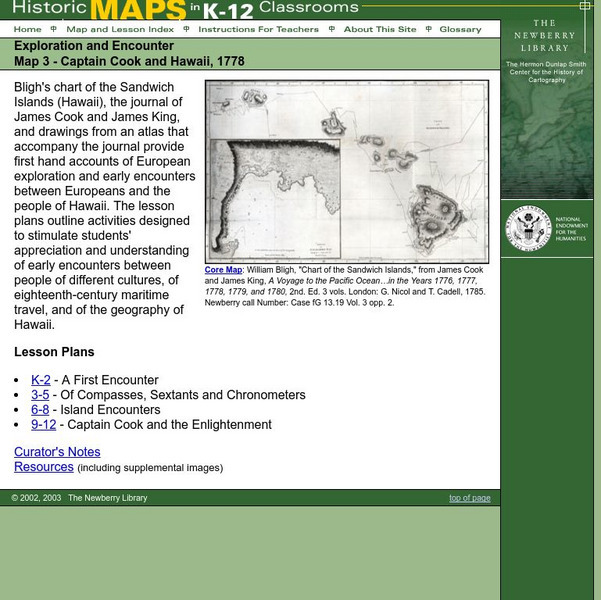
Newberry: Exploration and Encounter: Map 3, Captain Cook and Hawaii, 1778
Map and primary source information provide first-hand account of exploration and encounters between Europeans and Hawaiians. Includes lesson plans for k-12, links to reference material and supplemental resources, and curators notes.
University of South Florida
Exploring Florida: Jean Ribault Claims Florida for France
Find out about the early French settlements in Florida and South Carolina and the Spanish treatment of the settlers there. The site map will take you to many other articles about Florida history.
Independence Hall Association
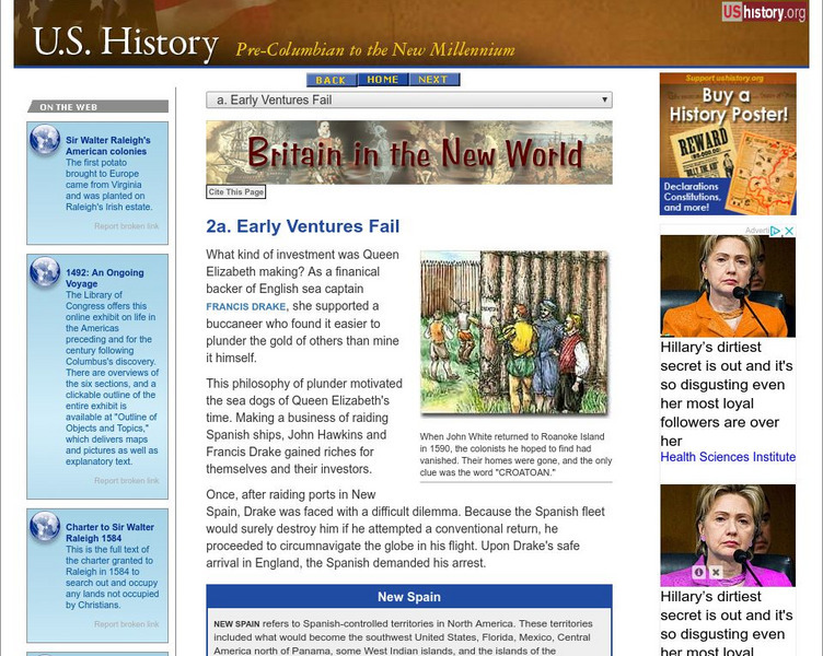
U.s. History: Britain in the New World: Early Ventures Fail
Several Englishmen sailed to the New World to establish settlements for England. Read about Sir Humphrey Gilbert's fate, and the mystery of Roanoke. Follow Sir Francis Drake on the map as he circumnavigated the globe.
Arizona State University
Archaeological Research Insitute: Flat Stanley Explores the Hohokam Culture
Join the intrepid children's book hero, Flat Stanley, as he investigates the Hohokam culture of Arizona. Find pictures of Flat Stanley posing with Hohokam pottery and jewelry. See pictures of what Hohokam houses might have looked like,...
Other
Museum of Unnatural History: Virtual Exploration Society: Colonel Percy Fawcett
Read about the exciting adventures of Col. Percy Fawcett as he mapped the jungles of South America in the early 20th century.
PBS
Pbs Frontline: From Jesus to Christ
PBS FRONTLINE explores the life of Jesus and the rise of Christianity. Drawing upon new and sometimes controversial historical evidence and interviews with the nation's leading New Testament scholars, the website challenges familiar...
Curated OER
Educational Technology Clearinghouse: Maps Etc: North American Colonies, 1783
A map of eastern North America in 1783 at the end of the American Revolutionary War, showing the territory of the newly formed United States as proposed by the Treaty of Paris, the Canadian border extending to the Ohio River proposed by...
Other
The Royal Geographic Society: Imaging Everest
The online version of an exhibition created to commemorate the 50th anniversary of the first successful ascent of Mt. Everest in 1953. The photographs, maps, and artifacts in the exhibition trace Everest from its early exploration in the...
Library of Congress
Loc: The Atlantic World: America and the Netherlands
Available in both English and Dutch, this Library of Congress and Library of the Netherlands collaborative project offers over 11,000 digitized images relating to the Dutch in America. Includes a letter describing the purchase of...
University of Virginia
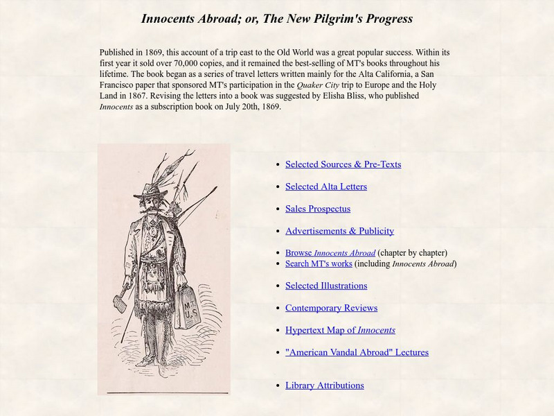
University of Virginia: Innocents Abroad; Or, the New Pilgrim's Progress
Extensive collection from the University of Virginia that explores many aspects of Twain's short story, "Innocents Abroad; or, The New Pilgrim's Progress." Included are links that examine pre-texts, letters, sales, advertisement,...
PBS
Pbs: Empire of the Bay: Paths of the Explorers
Follow Hudson, Champlain and McKenzie as they explore Canada and what will ultimately become the land of the Hudson's Bay Company.
PBS
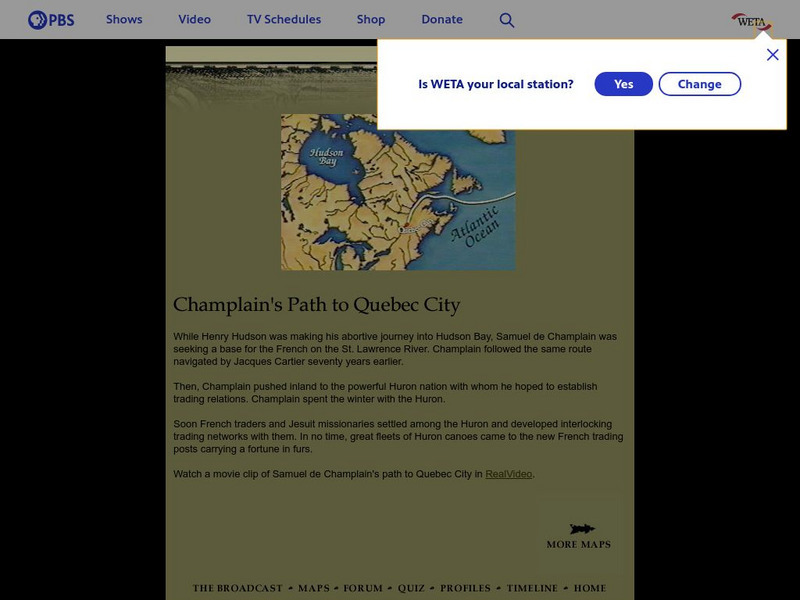
Empire of the Bay: Champlain's Path to Quebec
Watch a movie clip of Champlain's path to Quebec as you learn about this important early explorer.
Curated OER
Etc: Dev of Colonies and Early Western Explorations, 1700 1775
A map of eastern North America showing the early development of the European colonies and westward exploration to the Mississippi River. The map shows the routes of several early explorers with dates of exploration, including La Salle,...
Curated OER
Etc: Early Discoveries and Explorations, 1497 1621
A map of the eastern coast of North America showing early European exploration from the voyages of Cabot (1497 and 1498) to the founding of New Netherlands in 1621. The map shows voyage routes, coastal features, rivers, and settlements...
Curated OER
Etc: Maps Etc: French Explorations and Forts, 1600s
A map of North America showing the routes of early French exploration of the Mississippi Valley from the Great Lakes to the Gulf of Mexico in the 1600's. The map shows the routes of Father Jacques Marquette (with Louis Jolliet) and...


