Hi, what do you want to do?
Curated OER
Etc: Early Explorers of the Atlantic Coast, 1492 1620
A map of the Atlantic coast of North America from the Labrador Peninsula and Gulf of St. Lawrence south to the Santee River in the Carolinas, showing the European explorations and settlements in the region between 1492 and 1620. The map...
Curated OER
Educational Technology Clearinghouse: Maps Etc: Mississippi Valley, 1672 1673
A facsimile from the collection of Francis Parkman (1865) of an early map of the Mississippi River Valley from the Great Lakes to the Gulf of Mexico, showing the explorations of Father Jacques Marquette (1672-1673). The map shows Lac de...
Curated OER
Early Settlements in New England and Distribution of the Indian Tribes, 1686
A map of the Dominion of New England (1686), showing the early settlements and the general tribal lands of the Pawtuckets, Massachusetts, Wampanoags, Narragansets, Nipmucks, Pequods, and Mohegans. "New England, a collective name given to...
Curated OER
Educational Technology Clearinghouse: Maps Etc: Mississippi Valley, 1682
A facsimile of a map by Jean Baptiste Louis Franquelin (1682) of the Mississippi River Valley from the Great Lakes to the Gulf of Mexico showing the explorations of Robert LaSalle (Rene-Robert Cavelier, Sieur de la Salle) as far south as...
Curated OER
Etc: Maps Etc: Carte Des Environs Du Mississippi, 1700
A facsimile of a map of the Mississippi Delta showing the explorations of the French Canadian Pierre Le Moyne d'Iberville in 1700. The map shows Lake Pontchartrain, Fort Biloxi, and the channels of the Mississippi River.
Curated OER
Educational Technology Clearinghouse: Maps Etc: Australia, 1885
A map of Australia in 1885 showing the states and territories of Australia at the time, including Nuyts Land, De Witt Land and Tasman Land in Western Australia, Arnhem land, Alexandra Land in North Australia, Queensland, South Australia,...
Curated OER
Vinland, From Accounts Contained in Old Northern Maps, Eleventh Century
A map of Massachusetts Bay and Cape Cod showing the area of early Norse exploration in America. "In 986 A.D. a Norseman named Herjulfson, who was voyaging from Iceland to Greenland, was driven by a gale far out of his reckoning to the W....
Curated OER
Etc: Development of Amer Interests in the Pacific, 1791 1903
A map of the United States and Pacific Ocean showing the development of American interests in the Pacific from the early exploration of Oregon Country in 1791 to the formal annexation of the Midway Islands and the Panama Strip in 1903....
Wikimedia
Wikipedia: New France
An overview of New France, from the time the French first began to explore the area until they ceded Canada to the British (Treaty of Paris, signed in 1763). Includes a discussion of the founding of Quebec City and early maps of the...
Other
Exploring the Past: An Archeological Journey
Through an overview of past archeological expeditions, the author recounts the "Land Bridge" theory and delves into the life of the first inhabitants of North America.
Library of Congress
Loc: Drake's West Indian Voyage 1588 1589
While studying early American exploration students will view the maps Sir Francis Drake used in his attacks of the Spanish in the New World. This lesson plan makes use of primary source maps to help the students learn how to analyze them.
Other
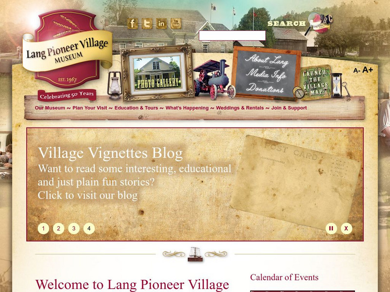
County of Peterborough: Lang Pioneer Village Museum
Visit this early pioneer village that features restored buildings constructed between 1820 and 1899. Explore the interactive map of the settlement. View artifacts from the period and several video clips that provide a picture of life...
George Mason University
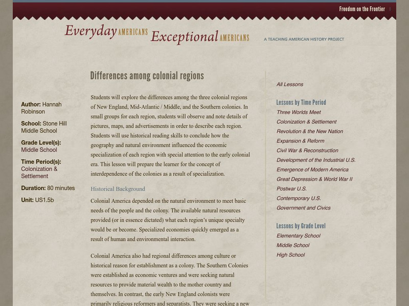
Chnm: Differences Among Colonial Regions
Learners will explore the differences among the three colonial regions of New England, Mid-Atlantic/Middle, and the Southern colonies. In small groups for each region, students will observe and note details of pictures, maps, and...
A&E Television
History.com: Amerigo Vespucci
Amerigo Vespucci was an Italian-born merchant and explorer who took part in early voyages to the New World on behalf of Spain around the late 15th century. By that time, the Vikings had established settlements in present-day North...
Library of Congress
Loc: The African American Odyssey: A Quest for Full Citizenship
Online exhibit from the Library of Congress explores black America's quest for equality from the early national period through the twentieth century. Exhibit contains a wealth of items including books, government documents, manuscripts,...
Curated OER
Western Hemisphere, Detail of Universalis Cosmographia, 1507
English, Spanish, and Portuguese maps and letters about exploration and impressions of the Western hemisphere in the early 1500s. T


