Hi, what do you want to do?
Alabama Learning Exchange
Alex: Native American Acrostic Poems
In this lesson, students will synthesize the knowledge they have acquired about early Native American tribes by creating and presenting an acrostic poem that incorporates pictures symbolizing important characteristics of the tribes. In...
State Library of North Carolina
N Cpedia: Stephen R. Claggett: Native American Settlement of North Carolina
The English began exploring and settling into the Carolina Colony in the late 1500-early 1600s. The land was already inhabited by Native American tribes. How did they all get along? Who were the Native Americans on the land?
Tom Richey
Tom richey.net: Native American Cultures 1491 1607 [Ppt]
Presents key ideas for examining the cultures of Native American tribes that lived in North America in early colonial times. Discusses the major groups, the way of life of each group, and where they lived.
State Library of North Carolina
N Cpedia: John W. Kinchelo, Iii: American Indians at European Contact
Native Americans inhabited the New World long before European explorers began establishing settlements on the land. This entry addresses the challenges the natives had to face upon Europe's arrival, trials in relationships, and how...
Native American Art and Technology
Native Tech: Kettle Manufacture and Repair
Describes early Native American techniques for manufacturing and repairing brass and copper kettles with detail on types of handles and rivets for repair jobs and pictures of kettles and repair patches.
Texas State Library and Archives Commission
Texas State Library and Archives Commission: Native American Relations in Texas
Take a peek inside the Republic of Texas' relations with the Native Americans in the early nineteenth century.
University of Groningen
American History: Outlines: Early America: Native American Cultures
At the time of the Europeans' arrival in North America, the land was well populated with Native Americans. Their numbers rapidly dwindled, mainly due to disease. Although there were many diverse tribes, some generalizations can be drawn...
University of Texas at Austin
University of Texas: Map of Early Indian Tribes in Eastern u.s.
A map of the land inhabited by Indian tribes in the eastern part of the United States before European settlement. Map shows linguistic stocks as well as culture areas, major, and minor tribes.
Texas State Library and Archives Commission
Texas State Library and Archives Commission: Native American Relations in Texas: Sam Houston to John Linney, Sept 1836
Read a letter through which Sam Houston recruits Indian tribes "to act in the policing of" Texas. This site includes images of the original letter, as well as line-by-line transcription of the handwritten text.
Texas State Library and Archives Commission
Texas State Library and Archives Commission: Native American Relations in Texas: Indians and the Texas Revolution
Read about the importance of the support of various Indian tribes in the success of the Texas Revolution. See primary sources that explore this topic.
Other
The Woodland/ Algonquian Tribes Before 1500 (Map)
A Map of the geographic regions of the various Native American tribes in northeastern North America.
Other
Trail of Tears Assoc: The Story Trail of Tears National Historic Trail
Follow the early history of Native American and European contact in America. As more settlers moved west, a law was passed to relocate the Cherokee from Arkansas. The routes they followed and the cruelties they suffered came to be known...
Other
Arkansas Archeological Survey: First Encounters Native Tribes and Spaniards
An account of early contacts and effects between the Native Americans of Arkansas and the Spaniards led by De Soto.
Other
Pre Contact Culture Areas (Map)
This excellent map shows where different tribes were before first contact, links to related information.
Curated OER
Perry Castaneda Map Collection: Map of Early Indian Tribes in the Western u.s.
Map showing the Native American culture areas and the tribes within those cultures in western North America. From the Perry Castaneda collection.
Curated OER
Etc: Maps Etc: Migrations of Early Native Peoples, 1889
A sketch map of North America from 1888 showing the probable lines of migration and distribution of the American Tribes, including the Esquimaux (Eskimo), West Coast Tribes, Tinne, Algonquin Tribes, and the Alleghans and Toltecans, based...
Other
South Carolina Indians
A thorough site that provides good basic information on the early indigenous peoples of South Carolina. Information includes tribes, a map of the location of the tribes, history of the tribes, cities and towns with Native American names,...
Other
Encyclopedia of Arkansas: Louisiana Purchase to Statehood
A historical overview of the time period covering the Louisiana Purchase to the beginning of Arkansas Statehood (1803 through 1860).
Nebraska Studies
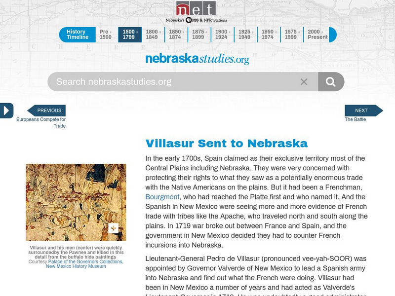
Nebraska Studies: Pedro De Villasur Sent to Nebraska
Concern over the French trading with the Native Indians, the Spanish commissioned Lieutenant-General Villasur to stop them in 1720.
Texas State Historical Association
Texas State Historical Association: Prehistoric Texas [Pdf]
An activity guide where students refer to the Texas Almanac, which is free to download, for information needed to complete assigned tasks. In this lesson, students are asked to research the four stages of cultural development in early...
Curated OER
Etc: Maps Etc: The Location of the Eastern Indian Tribes, 1600s
A map from 1911 of eastern North America showing the general areas of early contact between the Native Americans and European settlers. The map is divided by groups (Algonquians, Iroquoians, Siouans, and Muskhogeans) and the principal...
Curated OER
Hesquiaht Woman From the Central Nootka Tribe, British Columbia, 1916
View aspects of the history of the aboriginal peoples of Canada through photographs. Culture, ways of life, and struggles can be examined in this database of primary source images (most from the late nineteenth and early twentieth century).
Alabama Learning Exchange
Alex: Extra, Extra!! Mary Rowlandson's Captivity Newscast
This lesson will be an interdisciplinary lesson that involves both English Language Arts and Social Studies (History). The lesson will be primarily technology-based and also project-based that will have the young scholars performing...
Curated OER
Etc: Maps Etc: The Country East of the Mississippi, 1650
A map from 1872 of the country east of the Mississippi for the year 1650, forty-seven years after the settlement of Jamestown. This map shows early commencement of European settlement and the principal Native American tribal lands east...


![Tom richey.net: Native American Cultures 1491 1607 [Ppt] PPT Tom richey.net: Native American Cultures 1491 1607 [Ppt] PPT](https://static.lp.lexp.cloud/images/attachment_defaults/resource/large/FPO-knovation.png)


