CK-12 Foundation
Ck 12: Earth Science: Maps Study Guide
Get an overview of different types of Earth Science maps.
CK-12 Foundation
Ck 12: Earth Science: Map Projections
[Free Registration/Login may be required to access all resource tools.] How to use topographic, bathymetric, and geologic maps.
CK-12 Foundation
Ck 12: Plix: Branches of Earth Science
[Free Registration/Login Required] An interactive concept map that shows how the different branches of earth science. After completing the concept map, students can test their knowledge with a "challenge me" quiz.
CK-12 Foundation
Ck 12: Earth Science: Maps
[Free Registration/Login may be required to access all resource tools.] How to use topographic, bathymetric, and geologic maps.
CK-12 Foundation
Ck 12: Earth Science: Maps
[Free Registration/Login may be required to access all resource tools.] How to use topographic, bathymetric, and geologic maps.
CK-12 Foundation
Ck 12: Earth Science: Maps
[Free Registration/Login may be required to access all resource tools.] How to use topographic, bathymetric, and geologic maps.
CK-12 Foundation
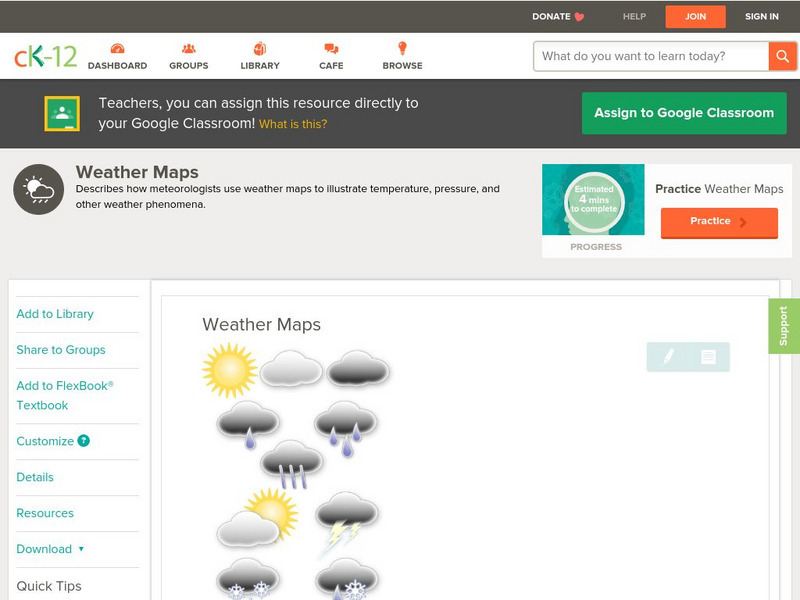
Ck 12: Earth Science: Weather Maps
[Free Registration/Login may be required to access all resource tools.] How meteorologists create and read weather maps.
CK-12 Foundation
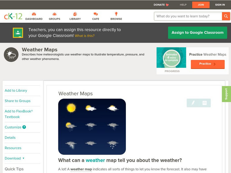
Ck 12: Earth Science: Weather Maps
[Free Registration/Login may be required to access all resource tools.] How meteorologists create and read weather maps.
American Geosciences Institute
American Geosciences Institute: Earth Science Week: Geologic Maps and Groundwater
This activity is designed to give students practice using a geologic map to understand how water shapes the land- and is stored within the land- in part of the Grand Canyon.
American Geosciences Institute
American Geosciences Institute: Earth Science Week: Geologic Maps & Earthquakes
This activity is designed to give students practice using a geologic map to assess the likelihood and location of a particular natural hazard- earthquakes- in California.
Oswego City School District
Regents Exam Prep Center: Earth Science
Resource for earth science review, with the following topics covered: composition of the Earth, mapping, rocks and minerals, weathering, and earthquakes. Includes a collection of online quizzes, review materials, old exams, and references.
Science Education Resource Center at Carleton College
Serc: Earth Science Education Activities: Prof. Larry Braile
A lesson plan collection covering plate tectonics, with some structural geology and planetary science projects. The PDF files include activities, hand outs, maps, and directions for building a simple seismometer and seismograph. Also...
American Geosciences Institute
American Geosciences Institute: Earth Science Week: Houston Activity: Texas Rocks
Using a geologic time scale and map students investigate the rocks in their area.
American Geosciences Institute
American Geosciences Institute: Earth Science Week: Ocean Currents
Young scholars map the patterns of the major ocean currents, and learn about the influences of wind, water temperature, landmasses, and water density on currents.
Other
Discover Canada Through National Maps and Facts: Relief
Links to all of Canada's provinces and territories relief maps. Maps can be viewed as a picture or as a .pdf file. Be sure to check out the links to lesson plans as well as the many other types of maps.
CK-12 Foundation
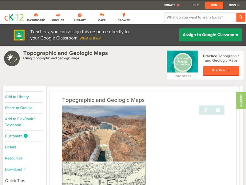
Ck 12: Earth Science: Topographic and Geologic Maps
[Free Registration/Login may be required to access all resource tools.] How to use topographic and geologic maps.
CK-12 Foundation
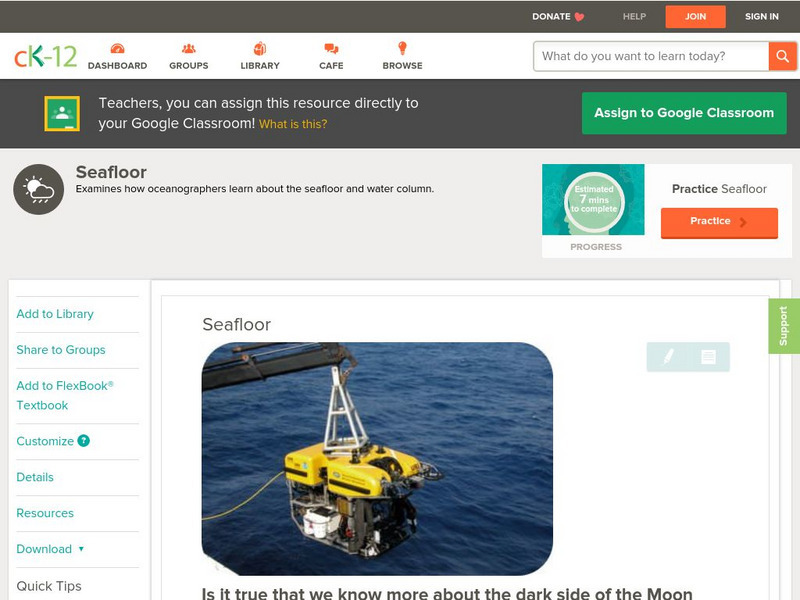
Ck 12: Earth Science: Seafloor
[Free Registration/Login may be required to access all resource tools.] Examines how Earth scientists study the seafloor.
Science Education Resource Center at Carleton College
Serc: Discover Our Earth
Study earthquakes, volcanoes, topography, plate tectonics, and sea level change using graphs, maps, and movies. Engage in earth science knowledge discovery, critically evaluate the data and results, and reach conclusions about the earth...
Extreme Science
Extreme Science
Explore the science behind the "extremes" in our world. Organized into sections on earth science, the animal kingdom, technology, and space science, this site opens your eyes to giant creatures, amazing technological advances, vast...
CK-12 Foundation
Ck 12: Earth Science: Supervolcanoes
[Free Registration/Login may be required to access all resource tools.] Supervolcanoes are unimaginably large volcanoes.
American Geosciences Institute
American Geosciences Institute: Earth Science Week: Gis and Careers
Students learn about GIS technology for solving problems and learn how employers seek workers who know how to make good decisions in a complex world.
CK-12 Foundation
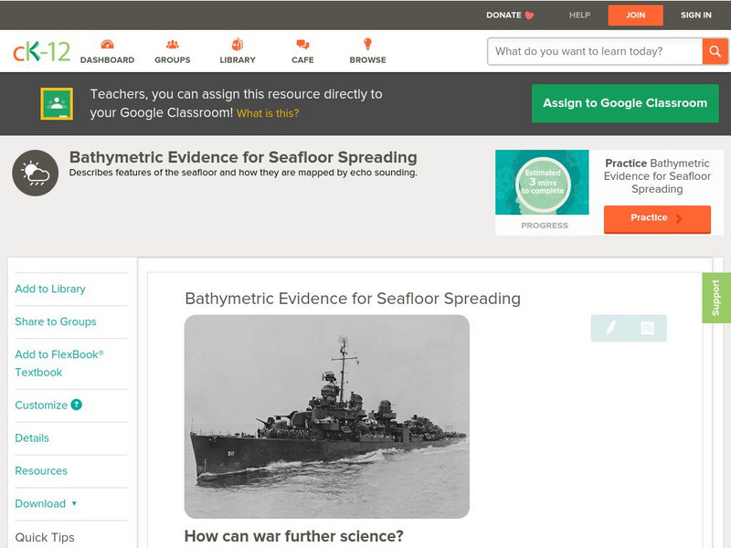
Ck 12: Earth Science: Bathymetric Evidence for Seafloor Spreading
[Free Registration/Login may be required to access all resource tools.] Seafloor features and how scientists map them.
US Geological Survey
U.s. Geological Survey: Water Science for Schools
A collection of resources--pictures, maps, data, glossary--about water and the water cycle.
US Geological Survey
Usgs: Water Science Glossary of Terms
The United States Geological Survey offers a complete look at water science in glossary form. Take advantage of the topic guides at the top of the site. You'll find great maps, clipart and activities centers. Click Home to access the...


