Hi, what do you want to do?
US Geological Survey
U.s. Geological Survey: Earthquake Lists, Maps, and Statistics
All kinds of earthquake data compiled here. Find the deadliest earthquakes, most damaging earthquakes, world and US statistics, historical earthquake lists, and more.
Other
Shake Proof Science: Engineering Earthquake Safe Structures [Pdf]
Lesson covering earthquake basics and designing structures that can withstand earthquakes. Learners are tasked with building earthquake-proof structures using marshmallows, spaghetti, and the option of bamboo skewers. These are then...
Burke Museum
Burke Museum: Earthquake Preparedness
Part of the Burke Museum's online exhibition titled "The Big One" which focuses on earthquakes and quake science, this site looks at safety precautions to take when dealing with earthquakes.
CK-12 Foundation
Ck 12: Earth Science: Predicting Earthquakes
[Free Registration/Login may be required to access all resource tools.] The signs scientists might see prior to an earthquake occurring.
CK-12 Foundation
Ck 12: Earth Science: Staying Safe in an Earthquake
[Free Registration/Login may be required to access all resource tools.] How to prepare for an earthquake.
CK-12 Foundation
Ck 12: Earth Science: Locating Earthquake Epicenters
[Free Registration/Login may be required to access all resource tools.] How to find the epicenter of an earthquake.
Read Works
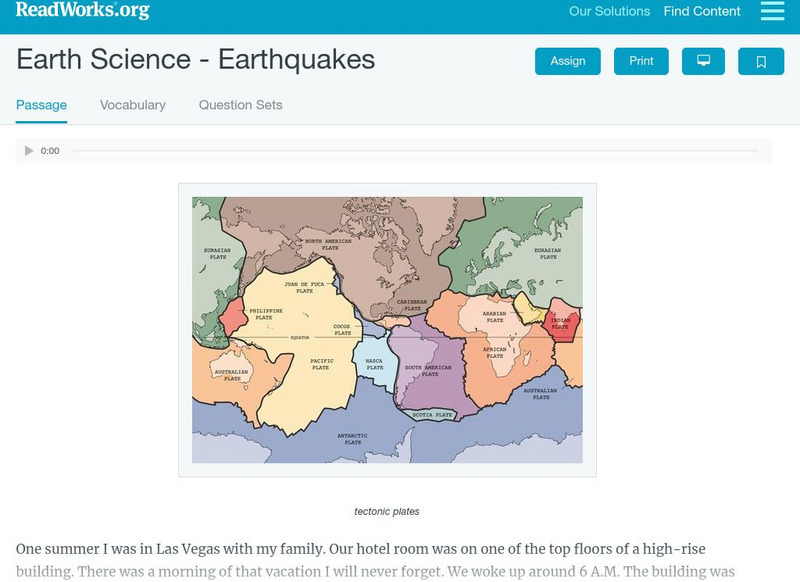
Read Works: Earth Science Earthquakes
[Free Registration/Login Required] An informational text about earthquakes. A question sheet is available to help students build skills in reading comprehension.
CK-12 Foundation
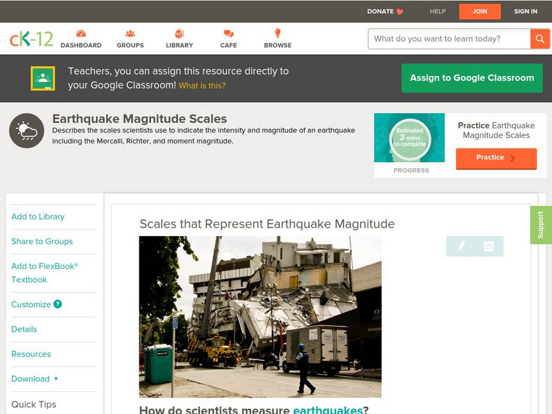
Ck 12: Earth Science: Scales That Represent Earthquake Magnitude
[Free Registration/Login may be required to access all resource tools.] Covers the scales scientists use to measure the size and intensity of earthquakes.
CK-12 Foundation
Ck 12: Earth Science: Earthquake Safe Structures
[Free Registration/Login may be required to access all resource tools.] How buildings can be made safer from earthquakes.
CommonLit
Common Lit: "How Earthquakes Take Place" by Jessica Mc Birney
A learning module that begins with "How Earthquakes Take Place" by Jessica McBirney, accompanied by guided reading questions, assessment questions, and discussion questions. The text can be printed as a PDF or assigned online through...
Math Science Nucleus
Math/science Nucleus: Famous Earthquakes Animation
This animation reviews three famous historical earthquakes in a storybook format with pictures and animations, told from the perspective of three girls.
CK-12 Foundation
Ck 12: Earth Science: Predicting Earthquakes
[Free Registration/Login may be required to access all resource tools.] The signs scientists might see prior to an earthquake occurring.
CK-12 Foundation
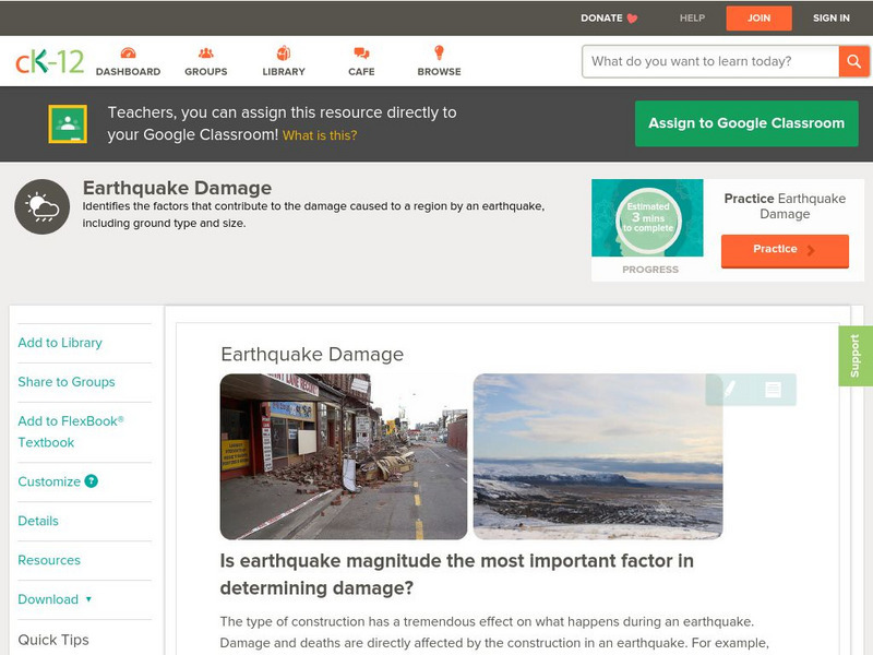
Ck 12: Earth Science: Earthquake Damage
[Free Registration/Login may be required to access all resource tools.] Variables that affect how much damage is caused by an earthquake.
CK-12 Foundation
Ck 12: Earth Science: Earthquake Zones
[Free Registration/Login may be required to access all resource tools.] Covers earthquake zones, causes, and conditions.
CK-12 Foundation
Ck 12: Earth Science: Intraplate Earthquakes
[Free Registration/Login may be required to access all resource tools.] How and why intraplate earthquakes occur away from plate boundaries.
CK-12 Foundation
Ck 12: Earth Science: Seismic Waves From Earthquakes
[Free Registration/Login may be required to access all resource tools.] The signs scientists might see prior to an earthquake occurring.
Other popular searches
- Volcanoes and Earthquakes
- San Francisco Earthquake
- Earthquake Proof Buildings
- Indian Ocean Earthquake
- Earthquakes and Epicenter
- Web Quest Earthquakes
- Plotting Earthquakes
- Earthquake Lab
- Earthquake Vocabulary
- Volcanoes Earthquakes
- Earthquake Safety
- Earthquakes Epicenters


![Shake Proof Science: Engineering Earthquake Safe Structures [Pdf] Lesson Plan Shake Proof Science: Engineering Earthquake Safe Structures [Pdf] Lesson Plan](https://static.lp.lexp.cloud/images/attachment_defaults/resource/large/FPO-knovation.png)

