Hi, what do you want to do?
TeachEngineering
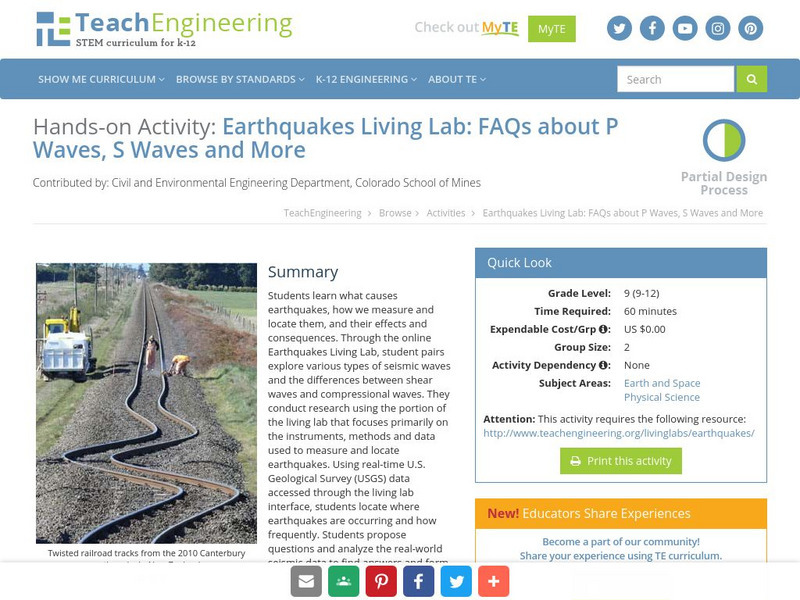
Teach Engineering: Earthquakes Living Lab: P Waves, S Waves and More
Students learn what causes earthquakes, how we measure and locate them, and their effects and consequences.
CK-12 Foundation
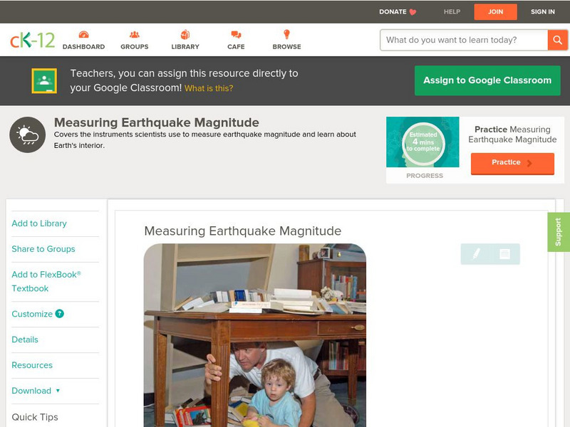
Ck 12: Earth Science: Measuring Earthquake Magnitude
[Free Registration/Login may be required to access all resource tools.] Covers the instruments scientists use to measure earthquake magnitude.
CK-12 Foundation
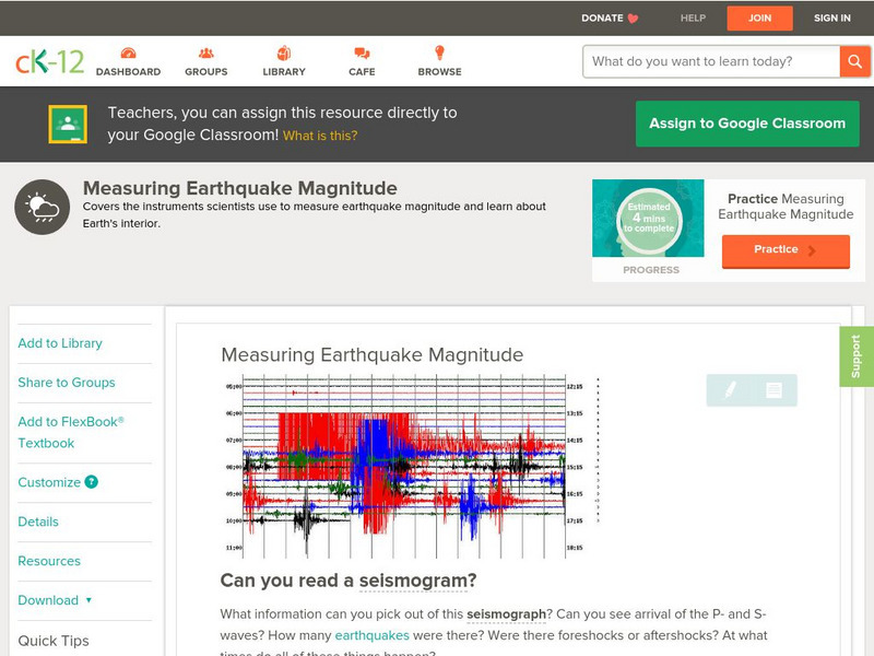
Ck 12: Earth Science: Measuring Earthquake Magnitude
[Free Registration/Login may be required to access all resource tools.] Covers the instruments scientists use to measure earthquake magnitude.
Scholastic
Scholastic: Study Jams! Science: Landforms, Rocks & Minerals: Earthquakes
A video and a short multiple-choice quiz on earthquakes, how they form, how they are measured, and the ways they can change the surface of the Earth.
NASA
Nasa Space Place: What Is an Earthquake?
Discover why earthquakes happen, how we measure them, and why they only happen on Earth.
E-learning for Kids
E Learning for Kids: Science: Seychelles: Earthquakes and Effects
Students learn about what happens inside the Earth to cause an earthquake, how earthquakes are measured, their impact on the surface, and safety precautions to take during an earthquake.
University of Southern California
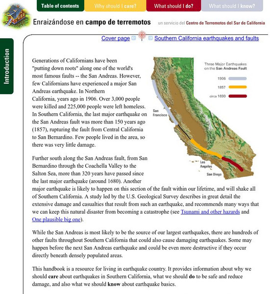
Earthquake Country Alliance: Putting Down Roots in Earthquake Country
This handbook is a resource for living in earthquake country. It provides information about why we should care about earthquakes in Southern California, what we should do to be safe and reduce damage, and also what we should know about...
Idaho State University
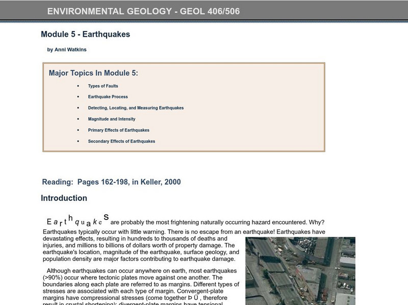
Idaho State University: Environmental Geology: Earthquakes
Study earthquakes from the earth's faults to the measurement system used in researching the shakers. Investigate what the primary and secondary effects are.
California Institute of Technology
Scedc: Investigating Earthquakes Through Regional Seismicity
Learn about earthquakes and how they are measured. Follow up with some activities that help to enhance your learning.
Science Education Resource Center at Carleton College
Serc: The 2004 Sumatra Earthquake and Tsunami
Using real seismic recordings from a number of seismic stations, students find the location of the epicenter of the 2004 Sumatra earthquake. They next determine the path of the tsunami triggered by it, and calculate how much lead time...
TeachEngineering
Teach Engineering: Earthquakes Living Lab: Epicenters and Magnitudes
Students learn how engineers characterize earthquakes through seismic data. Acting as engineers, they use real-world seismograph data to locate earthquake epicenters via triangulation and determine earthquake magnitudes.
NASA
Nasa: Slr and Gps (And Plate Tectonics and Earthquakes) [Pdf]
This slideshow explains how satellites are used to measure the movement of tectonic plates.
Science Buddies
Science Buddies: Build an Earthquake Resistant House
In this project, students will build model earthquake-resistant buildings and measure their movement during a simulated earthquake using a mobile phone and a sensor app.
Incorporated Research Institutions for Seismology
Iris: Gps Measuring Plate Motion [Pdf]
This resource looks at how geologists are able to measure the movement of tectonic plates using satellite-based data and how they were able to surmise in the past that the plates were moving. It also discusses how to read GPS time-series...
CK-12 Foundation
Ck 12: Earth Science: Measuring Earthquake Magnitude Study Guide
An overview of measuring earthquake magnitude.
CK-12 Foundation
Ck 12: Earth Science: Scales That Represent Earthquake Magnitude Study Guide
[Free Registration/Login may be required to access all resource tools.] Provides a summary of methods used to measure earthquakes. Includes some questions to check for understanding.
CK-12 Foundation
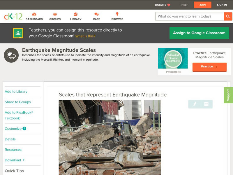
Ck 12: Earth Science: Scales That Represent Earthquake Magnitude
[Free Registration/Login may be required to access all resource tools.] Covers the scales scientists use to measure the size and intensity of earthquakes.
Space.com
Space.com: Cracking the Code of Pre Earthquake Signals
Earthquakes can often hit unexpectedly. This article reveals some of the intricacies of these natural disasters and what signs serve as indicators to alert seismologists.
TeachEngineering
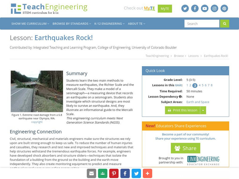
Teach Engineering: Earthquakes Rock!
Students learn the two main methods to measure earthquakes, the Richter Scale and the Mercalli Scale. They make a model of a seismograph - a measuring device that records an earthquake on a seismogram. Students also investigate which...
Science Education Resource Center at Carleton College
Serc: Virtual Earthquake
An activity-based program designed to introduce the concepts of how an earthquake epicenter is located and how the Richter magnitude of an earthquake is determined.
Other
New Mexico: Earthquake Education and Resources
This site from the New Mexico Bureau of Mines & Mineral Resources is a helpful online resource for the science classroom. Learn what an earthquake is, how it is measured, how we prepare for one. Also, locate additional links and...
Geographypods
Geographypods: Theme 2: Natural Environments
A rich collection of highly engaging learning modules on topics related to the natural environment. Covers four main areas - plate tectonics, forms and processes, weather and climate, and rainforest and desert. Within each of these,...
Libre Text
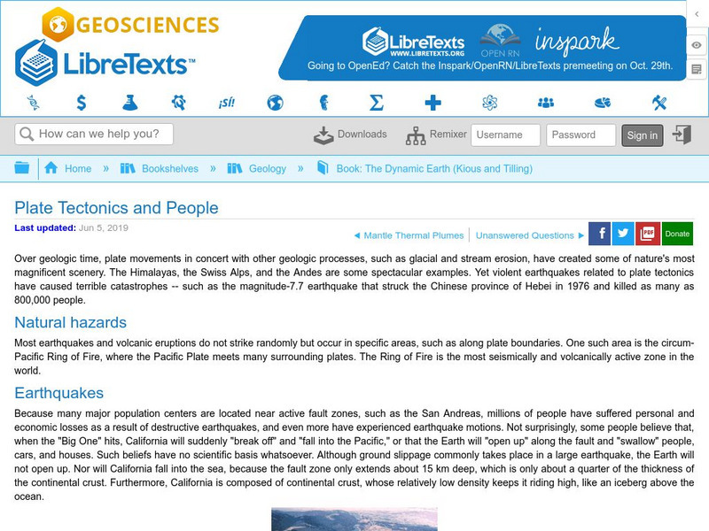
Libre Text: Plate Tectonics and People
Over geologic time, plate movements in concert with other geologic processes, such as glacial and stream erosion, have created some of nature's most magnificent scenery. The Himalayas, the Swiss Alps, and the Andes are some spectacular...
US Geological Survey
U.s. Geological Survey: Did You Feel It?
Locate all the most recent earthquakes on this interactive map. Data includes location, magnitude and time of the quake.


