Hi, what do you want to do?
US Geological Survey
U.s. Geological Survey: Earthquakes
This resource provides information about earthquakes, including how they are measured.
Other
Digital Library for Earth System Education: Teaching Box: Earthquake Country
A suite of lessons focusing on all aspects of earthquakes. Inquiry-based exploration of earthquakes includes measuring seismic waves, predicting earthquakes, investigating magnitude and intensity, mapping fault lines, and evaluating...
Science Buddies
Science Buddies: Measuring the Earth's Core With Seismic Waves
When an earthquake occurs, seismic shock waves travel out through the earth from the source of the event. The shock waves travel through the earth (body waves), or along the Earth's surface (surface waves), and can be recorded at remote...
Internet History Sourcebooks Project
Fordham University: Modern History Sourcebook: The Earthquake at Lisbon, 1755
This Fordham University article is written by Rev. Charles Davy a citizen of Lisbon when the city was hit by an earthquake measuring 8.75 on the richter scale. Discusses the devastation in detail.
CK-12 Foundation
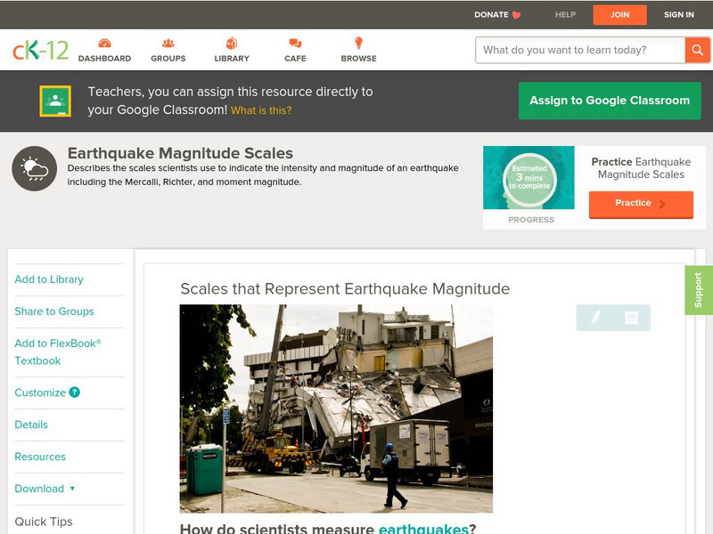
Ck 12: Earth Science: Scales That Represent Earthquake Magnitude
[Free Registration/Login may be required to access all resource tools.] Covers the scales scientists use to measure the size and intensity of earthquakes.
US Geological Survey
Usgs: Earthquakes Frequently Asked Questions
Use this resource to find answers to frequently asked questions about earthquakes.
Geographypods
Geographypods: Hazards and Risk Management: Earthquakes
This learning module looks at earthquakes. It discusses areas of earthquake activity, how they are measured using the Richter scale, and how scientists try to predict earthquakes. Includes handouts, slideshows, activities, and videos.
Other
Federal Emergency Management Agency: Tremor Troop: Earthquakes [Pdf]
A 260-page unit of activities on earthquakes. Covers what they are, their cause, why and where they occur, their impact on the Earth, how they are measured, and safety and survival. Includes worksheets and has a glossary at the end.
US Geological Survey
Usgs: Earthquakes
The U.S. Geological Survey sponsors this site about the history of earthquakes in the United States as well as information about how earthquakes are detected and measured.
Michigan Technological University
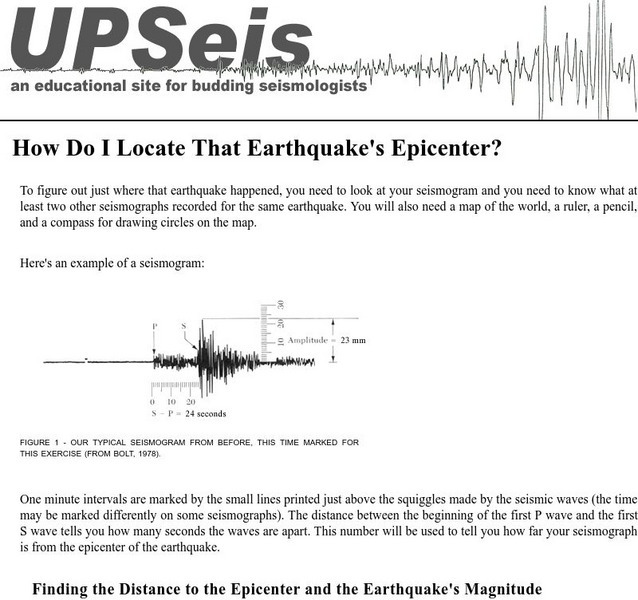
Michigan Tech: Locating an Earthquake's Epicenter
Gives directions on how to find the epicenter of an earthquake, the distance to the epicenter and the magnitude of the earthquake.
TeachEngineering
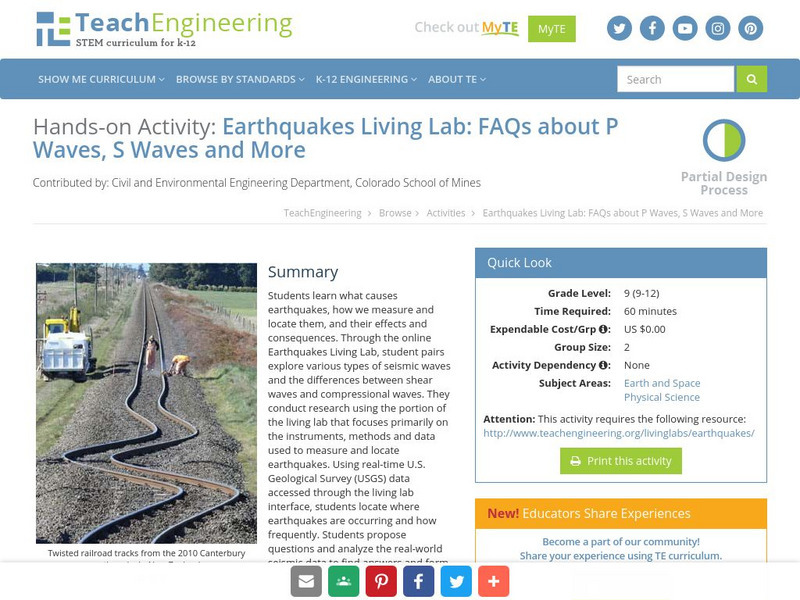
Teach Engineering: Earthquakes Living Lab: P Waves, S Waves and More
Students learn what causes earthquakes, how we measure and locate them, and their effects and consequences.
CK-12 Foundation
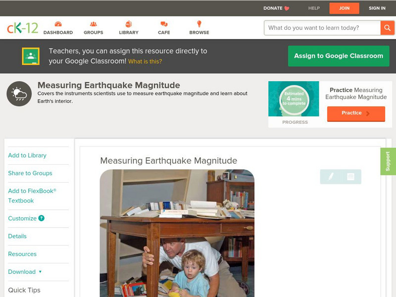
Ck 12: Earth Science: Measuring Earthquake Magnitude
[Free Registration/Login may be required to access all resource tools.] Covers the instruments scientists use to measure earthquake magnitude.
CK-12 Foundation
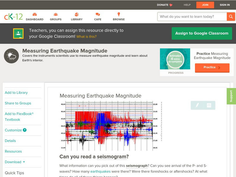
Ck 12: Earth Science: Measuring Earthquake Magnitude
[Free Registration/Login may be required to access all resource tools.] Covers the instruments scientists use to measure earthquake magnitude.
Scholastic
Scholastic: Study Jams! Science: Landforms, Rocks & Minerals: Earthquakes
A video and a short multiple-choice quiz on earthquakes, how they form, how they are measured, and the ways they can change the surface of the Earth.
NASA
Nasa Space Place: What Is an Earthquake?
Discover why earthquakes happen, how we measure them, and why they only happen on Earth.
E-learning for Kids
E Learning for Kids: Science: Seychelles: Earthquakes and Effects
Students learn about what happens inside the Earth to cause an earthquake, how earthquakes are measured, their impact on the surface, and safety precautions to take during an earthquake.
University of Southern California
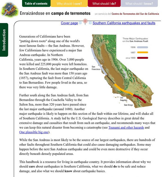
Earthquake Country Alliance: Putting Down Roots in Earthquake Country
This handbook is a resource for living in earthquake country. It provides information about why we should care about earthquakes in Southern California, what we should do to be safe and reduce damage, and also what we should know about...
Idaho State University
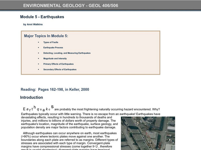
Idaho State University: Environmental Geology: Earthquakes
Study earthquakes from the earth's faults to the measurement system used in researching the shakers. Investigate what the primary and secondary effects are.
California Institute of Technology
Scedc: Investigating Earthquakes Through Regional Seismicity
Learn about earthquakes and how they are measured. Follow up with some activities that help to enhance your learning.
Science Education Resource Center at Carleton College
Serc: The 2004 Sumatra Earthquake and Tsunami
Using real seismic recordings from a number of seismic stations, young scholars find the location of the epicenter of the 2004 Sumatra earthquake. They next determine the path of the tsunami triggered by it, and calculate how much lead...
TeachEngineering
Teach Engineering: Earthquakes Living Lab: Epicenters and Magnitudes
Students learn how engineers characterize earthquakes through seismic data. Acting as engineers, they use real-world seismograph data to locate earthquake epicenters via triangulation and determine earthquake magnitudes.
NASA
Nasa: Slr and Gps (And Plate Tectonics and Earthquakes) [Pdf]
This slideshow explains how satellites are used to measure the movement of tectonic plates.
Science Buddies
Science Buddies: Build an Earthquake Resistant House
In this project, students will build model earthquake-resistant buildings and measure their movement during a simulated earthquake using a mobile phone and a sensor app.
Incorporated Research Institutions for Seismology
Iris: Gps Measuring Plate Motion [Pdf]
This resource looks at how geologists are able to measure the movement of tectonic plates using satellite-based data and how they were able to surmise in the past that the plates were moving. It also discusses how to read GPS time-series...


