Hi, what do you want to do?
CK-12 Foundation
Ck 12: Earth Science: Measuring Earthquake Magnitude Study Guide
An overview of measuring earthquake magnitude.
CK-12 Foundation
Ck 12: Earth Science: Scales That Represent Earthquake Magnitude Study Guide
[Free Registration/Login may be required to access all resource tools.] Provides a summary of methods used to measure earthquakes. Includes some questions to check for understanding.
CK-12 Foundation
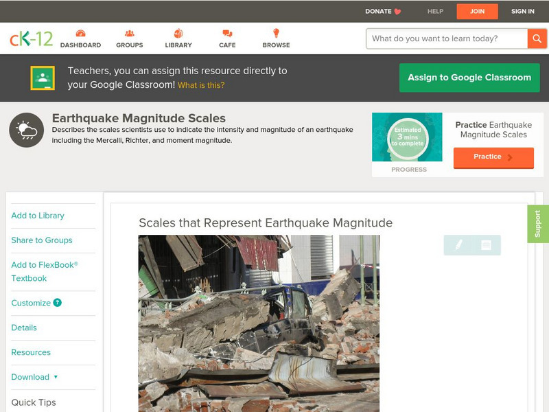
Ck 12: Earth Science: Scales That Represent Earthquake Magnitude
[Free Registration/Login may be required to access all resource tools.] Covers the scales scientists use to measure the size and intensity of earthquakes.
Space.com
Space.com: Cracking the Code of Pre Earthquake Signals
Earthquakes can often hit unexpectedly. This article reveals some of the intricacies of these natural disasters and what signs serve as indicators to alert seismologists.
Science4Fun
Science4 Fun: Earthquake
Information about earthquakes including causes and how they are measured.
TeachEngineering
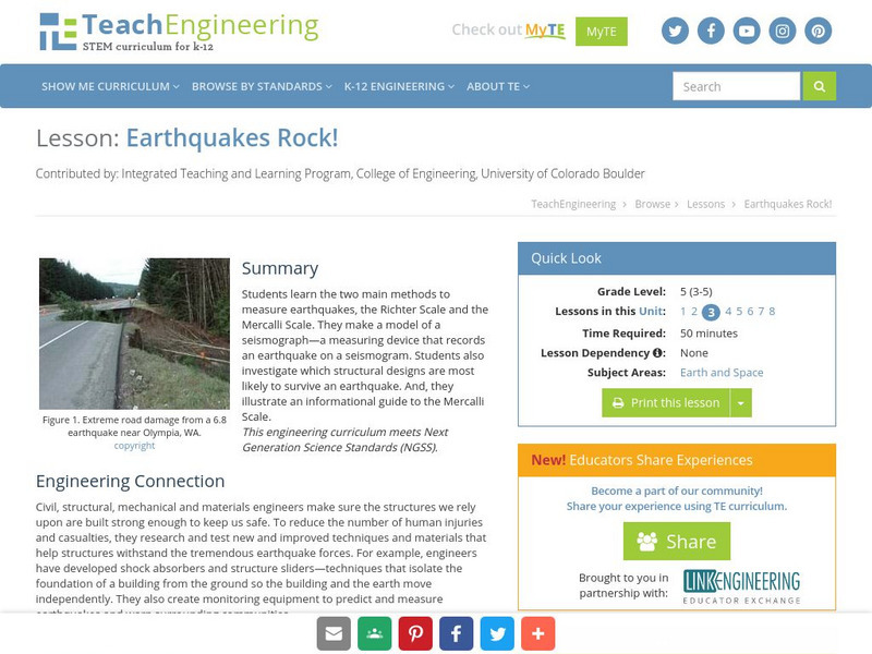
Teach Engineering: Earthquakes Rock!
Students learn the two main methods to measure earthquakes, the Richter Scale and the Mercalli Scale. They make a model of a seismograph - a measuring device that records an earthquake on a seismogram. Students also investigate which...
Science Education Resource Center at Carleton College
Serc: Virtual Earthquake
An activity-based program designed to introduce the concepts of how an earthquake epicenter is located and how the Richter magnitude of an earthquake is determined.
Other
New Mexico: Earthquake Education and Resources
This site from the New Mexico Bureau of Mines & Mineral Resources is a helpful online resource for the science classroom. Learn what an earthquake is, how it is measured, how we prepare for one. Also, locate additional links and...
Geographypods
Geographypods: Theme 2: Natural Environments
A rich collection of highly engaging learning modules on topics related to the natural environment. Covers four main areas - plate tectonics, forms and processes, weather and climate, and rainforest and desert. Within each of these,...
Libre Text
Libre Text: Plate Tectonics and People
Over geologic time, plate movements in concert with other geologic processes, such as glacial and stream erosion, have created some of nature's most magnificent scenery. The Himalayas, the Swiss Alps, and the Andes are some spectacular...
US Geological Survey
U.s. Geological Survey: Did You Feel It?
Locate all the most recent earthquakes on this interactive map. Data includes location, magnitude and time of the quake.
US Geological Survey
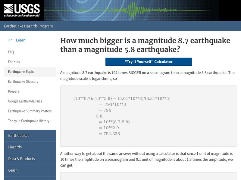
U.s. Geological Survey: How Much Bigger?
This resource provides information about the magnitude scale, and allows users to try to figure out the difference between earthquake sizes.
American Geosciences Institute
American Geosciences Institute: Earth Science Week: Modeling Earthquake Waves
Students model earthquake waves with a slinky toy.
Other
Nevada Seismological Laboratory: Seismic Waves
This resource describes the two different types of seismic waves and how they travel through the earth, offers diagrams of the waves, their speeds, and how seismograms are used to locate earthquakes.
Science and Mathematics Initiative for Learning Enhancement (SMILE)
Smile: Earthquake Waves and Their Destructions
Looking for the epicenter of an earthquake and measuring the magnitude of waves are goals for students in this lesson plan for intermediate to middle school students. Students get to analyze the P and S waves.
Other
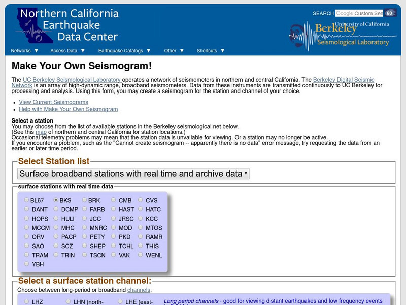
Ncedc: Make Your Own Seismogram
This site from NCEDC gives you an opportunity to "make your own seismogram" by choosing from a number of options on the screen.
Michigan Technological University
How Are Earthquake Magnitudes Measured?
This website explains how the Richter and Mercalli Scales work.
TeachEngineering
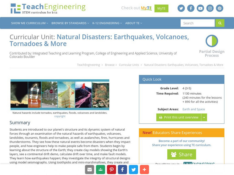
Teach Engineering: Natural Disasters
Students are introduced to our planet's structure and its dynamic system of natural forces through an examination of the natural hazards of earthquakes, volcanoes, landslides, tsunamis, floods and tornados, as well as avalanches, fires,...
US Geological Survey
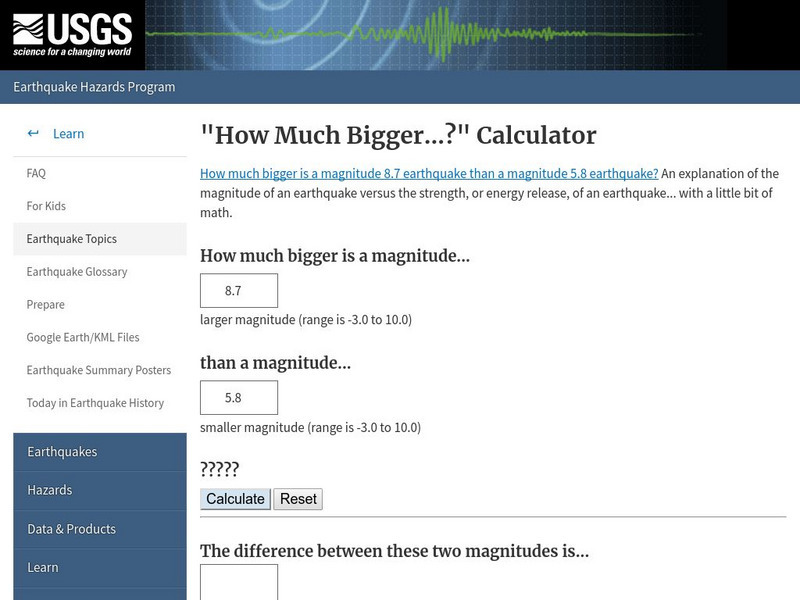
U.s. Geological Survey: How Much Bigger..? Calculator
A calculator to show the difference in magnitude between earthquakes. Understand that the Richter scale used to measure earthquakes is base-10 logarithmic scale.
Science Buddies
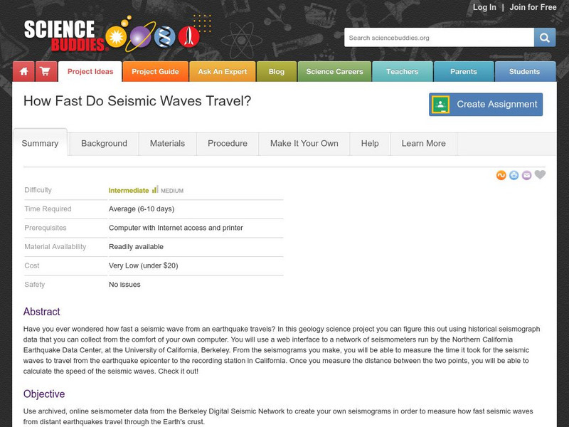
Science Buddies: How Fast Do Seismic Waves Travel?
Here's a geology project that uses historical seismograph data that you can collect from the comfort of your own computer. You'll use a web interface to a network of seismometers run by the Northern California Earthquake Data Center, at...
University of California
U. Of California Berkeley: Can You Read a Quake?
Eight seismograms and instructions are provided to assist in the learning of how to locate the epicenter of an earthquake.
Michigan Technological University
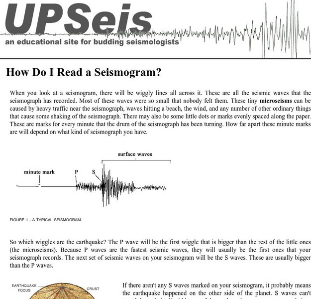
How Do I Read a Seismogram?
When you look at a seismogram, there will be wiggly lines all across it. So which wiggles are the earthquake? This site answers this question.
Incorporated Research Institutions for Seismology
Iris: Exploring the Earth Using Seismology
The paths of some seismic waves and the ground motion that resulted are shown in this poster.
American Geosciences Institute
American Geosciences Institute: Earth Science Week: Seismic Calendar
Students investigate how often earthquakes of various magnitudes happen within specific geographic regions.


