Hi, what do you want to do?
Curated OER
Egg Carton Stories
Students create stories with better structure when they are able to focus on its characters, setting, and plot. Teacher creates settings, character, and problem cartons with information written on strips of paper.
Curated OER
Earth Composition and Plate Tectonics
Students investigate the composition of the interior of the Earth through a teacher lead activity. They study the theory of plate tectonics before creating a model of the earth's interior. They use a hard boiled egg to synthesize a model...
Curated OER
Natural Disasters
Students investigate why natural catastrophes occur around the world and the results of such catastrophes. They investigate how people recover from catastrophes and can they be prevented. Students create their own work of art depicting a...
Curated OER
Agents of Erosion
Fourth graders explore the agents of erosion. They observe rocks that are rough and unweathered and record observations. They investigate rocks rubbed with sandpaper and ones that are not and the effects that the sandpaper has on the...
Curated OER
Extreme Weather!
Students create a web page explaining a specfic type of extreme weather and identify recent examples of the weather occurance. They form small groups to research the weather type and build an HTML word document to share with classmates...
Curated OER
Rock Cycle
Third graders identify various types of landforms of the United States. They discuss earth movements that produce geologic structures and landforms and define cycle as it relates to rocks and soil. They demonstrate the processes forming...
Curated OER
Extreme Weather!
Students develop an awareness of basic meteorology and related earth science topics. They reinforce geographical knowledge and build analytical and communications skills through class presentations. Students research exciting weather...
Curated OER
Weathering Landforms
Fifth graders brainstorm a list of ways the Earth's surface can change. As a class, they are introduced to the concepts of erosion and weathering and discover how wind and water cause changes to the surface of the Earth. To end the...
Curated OER
Population and Population Density
High schoolers read and interpret graphs. In this population lesson plan, students explore population and population density as they read several data graphs and respond to questions.
Curated OER
Be the Kiwi
Learners explore aspects of New Zealand's environment. In this environmental geography lesson, students research the geography, resources and climate of New Zealand. This lesson includes a game, rubric, and extension.
Curated OER
What's Holding Up the Water?
Students read about the history and locate dams in Arizona. In this Arizona dams lesson plan, students write a summary about what they read focusing on word choice, ideas, conventions, and geography content.
Curated OER
Social Studies: Exploring Japan
Fourth graders examine the culture and environment of Japan, beginning with a KWL chart. They use clay and cups of water to construct representations of the Japanese Islands. After designing flags representing farming and food, 4th...
Curated OER
Geography and Architecture
Learners discuss how terrain and climate affect the design of houses and commercial structures and thus influence the way architects design buildings in this elementary lesson plan.
Curated OER
Effects Of Natural Disasters On Environment
Young scholars investigate the concept of how natural disasters effect the environment. They conduct research using a variety of resources. They are given a scenario that needs a defensive speech. Students take a position and defend it...
Curated OER
Research Report on Earth Science Topics
Sixth graders are given a variety of Earth Science topics which be covered during the year. They select one of their choices to research and work in class and at home to meet the guidelines for their report.
Curated OER
It Looks Like Champagne
Students determine some practical implications of the discovery of liquid carbon dioxide in deep-ocean ecosystems. They interpret phase diagrams and explain the meaning of "critical point" and "triple point."
Curated OER
Glaciers and Ice Wedging
Fourth graders observe buckling sidewalks and potholes before attempting to determine how these things are caused. They freeze water filled plastic cups that have been covered. As the water freezes, the students observe what happens to...
NC State University
The Engineering Place: Earthquakes and Volcanoes
In this lesson, students simulate volcanic explosions using liquids of varying viscosity, and learn about volcano and earthquake zones around the world.
American Geosciences Institute
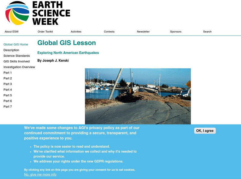
American Geosciences Institute: Earth Science Week: Global Gis Lesson: Exploring North American Earthquakes
In this series of lessons, learners use Geographic Information Systems (GIS) together with the tools and data from the North America Global GIS CD to investigate earthquakes, volcanoes, and population from a local to global scale....
PBS
Pbs: Earth Science Exploration
An earth science collection where learners can explore earthquakes, volcanoes, and more natural phenomena. The collection uses videos and interactive activities to investigate our dynamic planet and earth systems.
Science Education Resource Center at Carleton College
Serc: Musical Plates: A Study of Earthquakes and Plate Tectonics
Four part lab activity involves learners using real-time data to solve a problem, study the correlation between earthquakes and tectonic plates, and determine whether or not there is a relationship between volcanoes and plate boundaries.
Other
Digital Library for Earth System Education: Teaching Box: Mountain Building
A suite of lessons focusing on all aspects of how mountains are formed. Inquiry-based exploration of mountain building includes the rock cycle, mountain formation, plate tectonics, earthquakes, volcanoes, erosion, rocks, minerals, and...
National Association of Geoscience Teachers
Nagt: Discovering Plate Boundaries
Students work collaboratively using data maps to discover plate tectonic boundary processes. Data sets used are earthquakes, volcanoes, seafloor age, and topography.


