Curated OER
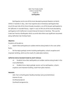
Earthquakes
Sixth graders explore reasons for earthquakes. They discuss and describe the types of faults. Using the internet, 6th graders research a specific location of a former earthquake. They describe the damage, magnitude, the epicenter,...
Curated OER
Shake, Rattle and Roll
Learners explore how to locate the location of an earthquake and why earthquakes happen more frequently in some areas more than others.
Curated OER
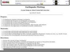
Earthquake Plotting
Learners become familiar with map coordinates. They establish the frequency of earthquake occurrences and study the location and magnitude of earthquakes. To establish the location of plate boundaries.
Curated OER
Earth Science: In Depth Look at Earthquakes
Students engage in an interactive Internet lesson covering the reasons and results of earthquakes. After reading eyewitness accounts and viewing animations, they use seismograms to measure and locate the epicenters. In an ongoing study,...
Curated OER
Exploring Earthquakes in Space and Time Through the Internet and a Geographic Information System
Learners examine the frequency and distribution of earthquake epicenters and compare these epicenters to the distribution of plate boundaries and cities.
Curated OER
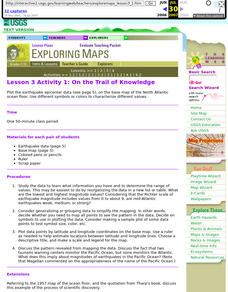
Lesson 3 Activity 1: On the Trail of Knowledge
Students plot the earthquake epicenter data on the base map of the North Atlantic ocean floor using different symbols or colors to characterize different values.


