Hi, what do you want to do?
US Geological Survey
U.s. Geological Survey: Magnitude 9.0 Near the East Coast of Honshu, Japan
Facts and figures on the earthquake and tsunami in Japan in March, 2011. Be sure to click on the tabs across the top that provide: summary, maps, scientific and technical information, as well as information on the tsunami.
Other
Teaching Social Responsibility: Teachable Moment: Japan's Nuclear Power Debate
Readings and news articles provide information on the debate over nuclear energy. In particular, the questions being raised due to the crisis in Japan after the earthquake and tsunami in March, 2011.
Open Ed
Open Ed Sci: 6.5 Natural Hazards
This unit begins with students experiencing, through text and video, the 2011 Great Sendai or Tohoku earthquake and subsequent tsunami that caused major loss of life and property in Japan. Students will think about ways to detect...
Burke Museum
Burke Museum: The Big One
This is the introduction to the Burke Museum's online exhibit on earthquakes and natural disasters. This is part of the Burke Museum's collection of geology. Topics that are covered include an introduction to quakes, quake science, quake...
Natural History Museum
Natural History Museum: Volcanoes and Earthquakes
As an online exhibit from the Natural History Museum, this site provides three videos on natural processes of Earth. The videos cover tsunamis, earthquakes, and volcanoes.
PBS
Pbs: Anatomy of a Tsunami
Scientists used maps and seismic data to produce a computer simulation that accurately shows the creation of the wave that shook the world. In this interactive, examine some of the models and images that reveal details of the tsunami...
Society for Science and the Public
Science News for Students: Tsunami's Trek Traced in the Sky
Discusses what scientists learned about tsunamis from photographs of the skies taken at the time of Japan's tsunami in March 2011, and how this information might be used in the future to predict an impending tsunami. [July 6, 2011]
US Geological Survey
Usgs: Tsunamis in the Pacific Northwest
This page from the U.S. Geological Survey is devoted to Tsunamis in the Pacific Northwest. View some animations of tsunamis.
PBS
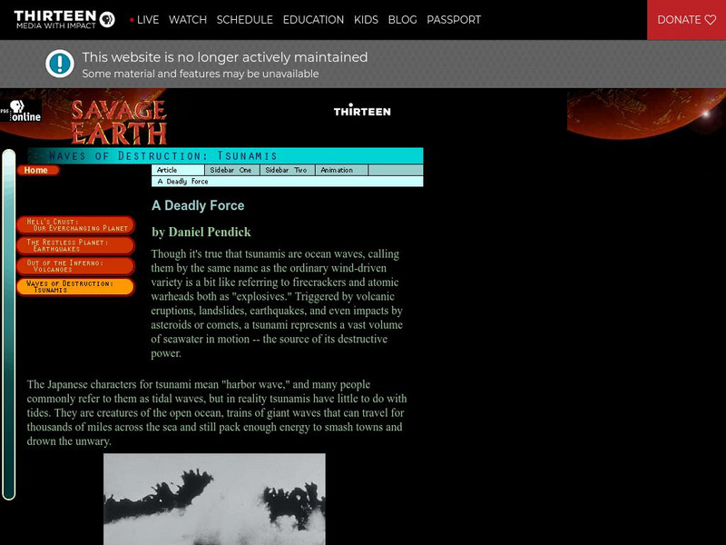
Wnet: Thirteen: Savage Earth: Tsunamis
Excellent site exploring the mysterious and destructive tsunamis. Explore this scientific marvel and learn about the causes and dangers.
University of Washington
University of Washington: A Survey of Great Tsunamis
This resource opens up with a clickable map that will provide information on eight different tsunamis, such as the 1929 Grand Banks tsunami, the 1975 Hawaiian tsunami, and several others. Basic information and the damage caused by each...
University of Southern California
University of Southern California:tsunami Research Group
This site provides a world map of locations of past tsunamis, some video/animations of tsunamis, and a list of additional links to related topics.
PBS
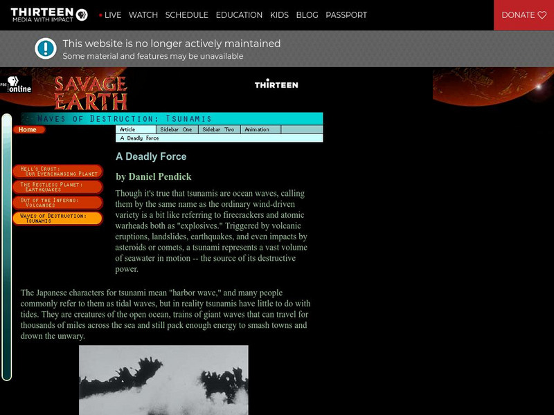
Wnet: Thirteen: Savage Earth: Waves of Destruction: Tsunami
This series of three articles (links) give basic information, describe the different causes of tsunamis, warning systems, past tsunamis and the evidence and destruction left by these waves. Animations are provided that illustrate...
eSchool Today
E School Today: Your Cool Facts and Tips on Earthquakes
Explains what earthquakes are, what causes them, the different types, tsunamis that can be caused by them, and how to prepare if living in an earthquake-prone area.
Teachnology
Teachnology: Guide to Tsunamis
For any educator preparing a teaching theme/unit on tsunamis, this is the site for you! Links to a myriad of lesson plans, worksheets, interactive sites, teacher resources, and much more are all found on this one site.
NOAA
Noaa: March 11, 2011 Honshu Tsunami
Facts, figures, and a graphic display of the Honshu tsunami that was generated by a Mw 8.9 earthquake on March 11, 2011.
The Guardian
Guardian: Indian Ocean Tsunami Disaster
A Special Report from the Guardian provides the latest news and reports from the tsunami-afflicted countries. Includes animation of the tsunami.
Other
Earthquakes Canada: Tools for Teachers
This webpage offers an excellent collection of teaching resources about earthquakes, tsunamis, volcanoes, and much more. An extensive and extremely well-organized list of "frequently asked questions" regarding the topic, and live...
Other
Federal Emergency Management Agency: Tremor Troop: Earthquakes [Pdf]
A 260-page unit of activities on earthquakes. Covers what they are, their cause, why and where they occur, their impact on the Earth, how they are measured, and safety and survival. Includes worksheets and has a glossary at the end.
Libre Text
Libre Text: Plate Tectonics and People
Over geologic time, plate movements in concert with other geologic processes, such as glacial and stream erosion, have created some of nature's most magnificent scenery. The Himalayas, the Swiss Alps, and the Andes are some spectacular...
PBS
Wave That Shook the World
This resource focuses on the December 26th Indian Ocean tsunami. It explains the anatomy of the Indian Ocean tsunami, as well as what is being done to prepare for future tsunamis. In addition, it shows potential hot spots for future...
NASA
Nasa: Japan Quake
NASA provides technical calculations on the 9.0 quake and tsunami that hit Japan in March, 2011. Find satellite images, as well as narrative on the effects of the quake on Japan and the Earth itself.
PBS
Wnet: Thirteen: Savage Earth Online
PBS produced "Savage Earth," a television series about volcanoes, earthquakes, and tsunamis. Contains extensive information with great graphics.
US Geological Survey
U.s. Geological Survey:the Great M9.2 Alaska Earthquake of March 27, 1964
A description of the earthquake in Prince William Sound, Alaska in 1964. Links to isoseismal map, earthquake damage photos, and seismogram of the earthquake.
Discovery Education
Discovery Education: Understanding Tsunamis
Come and learn more about the devastating effects of tsunamis. This site features video segments revealing the devastation tsunamis can cause and how tsunamis are formed.


