Hi, what do you want to do?
Curated OER
What's Holding Up the Water?
Students read about the history and locate dams in Arizona. In this Arizona dams lesson plan, students write a summary about what they read focusing on word choice, ideas, conventions, and geography content.
Curated OER
Frogs Frogs Frogs
Students view a disk on the continental movement and analyze the given data on fossils, rock types and climate zones. In this geology instructional activity students draw a diagram of the earths layers, take a quiz complete a PowerPoint...
Curated OER
Health: The Three Dimensions
Young scholars examine the three dimensions of health, wealth, and happiness from both emotional and social perspectives. Among the week-long activities are discussions about good and poor habits, minimizing risks by proper planning and...
Curated OER
Effects Of Natural Disasters On Environment
Young scholars investigate the concept of how natural disasters effect the environment. They conduct research using a variety of resources. They are given a scenario that needs a defensive speech. Students take a position and defend it...
Curated OER
Research Report on Earth Science Topics
Sixth graders are given a variety of Earth Science topics which be covered during the year. They select one of their choices to research and work in class and at home to meet the guidelines for their report.
Curated OER
A Model of the Sea-floor
Students create a paper model to illustrate sea-floor spreading.
Curated OER
How to Recycle a Rock
Third graders explore the rock cycle and explore how rocks are made, changed, destroyed and recreated. They create representations of these processes with hands-on activities.
Curated OER
Social Studies: Exploring Japan
Fourth graders examine the culture and environment of Japan, beginning with a KWL chart. They use clay and cups of water to construct representations of the Japanese Islands. After designing flags representing farming and food, 4th...
Curated OER
Glacier Climbing
Young scholars discuss glaciers and the current distribution of glaciers around the Earth. They create simulated glaciers using cornstarch, shoeboxes, water, and pebbles.
Curated OER
It Looks Like Champagne
Students determine some practical implications of the discovery of liquid carbon dioxide in deep-ocean ecosystems. They interpret phase diagrams and explain the meaning of "critical point" and "triple point."
Curated OER
Natural Disasters
Students compose essays outlining the effects of floods on humans and their environments. Included in their essays are methods explaining how people have tried to adapt to floods. Using the Internet or provided written materials,...
Curated OER
Help! I'm Under Too Much Pressure!
Students play with a ping pong ball sized piece of modeling clay observing what happens to the clay as they play with it and write their observations in their notebooks. They share the results of their observations introducing the term...
Curated OER
Modeling Plate Tectonics
Young scholars investigate the four different ways tectonic plates interact at their boundaries. Using simple available materials, they create models to simulate these interactions present at plate boundaries.
Curated OER
Hydrothermal Vent Challenge
High schoolers discover common features of hydrothermal vent fluids. They use this knowledge to locate possible undiscovered hydrothermal vents on the ocean floor.
Curated OER
Tic-Tac-Toe for Layers of the Earth
Eighth graders identify the different layers of the earth. In this earth science lesson, 8th graders choose a project to do from a given list according to their learning style. They present their finished project in class.
Curated OER
Guatemala
Fifth graders explore what types of projects the Peace Corp is doing to help Guatemala.
Curated OER
Changing Ways
Third graders examine hard boiled eggs as possible models for the earth's layers.
NC State University
The Engineering Place: Earthquakes and Volcanoes
In this lesson, students simulate volcanic explosions using liquids of varying viscosity, and learn about volcano and earthquake zones around the world.
Science Education Resource Center at Carleton College
Serc: Musical Plates: A Study of Earthquakes and Plate Tectonics
Four part lab activity involves learners using real-time data to solve a problem, study the correlation between earthquakes and tectonic plates, and determine whether or not there is a relationship between volcanoes and plate boundaries.
American Geosciences Institute
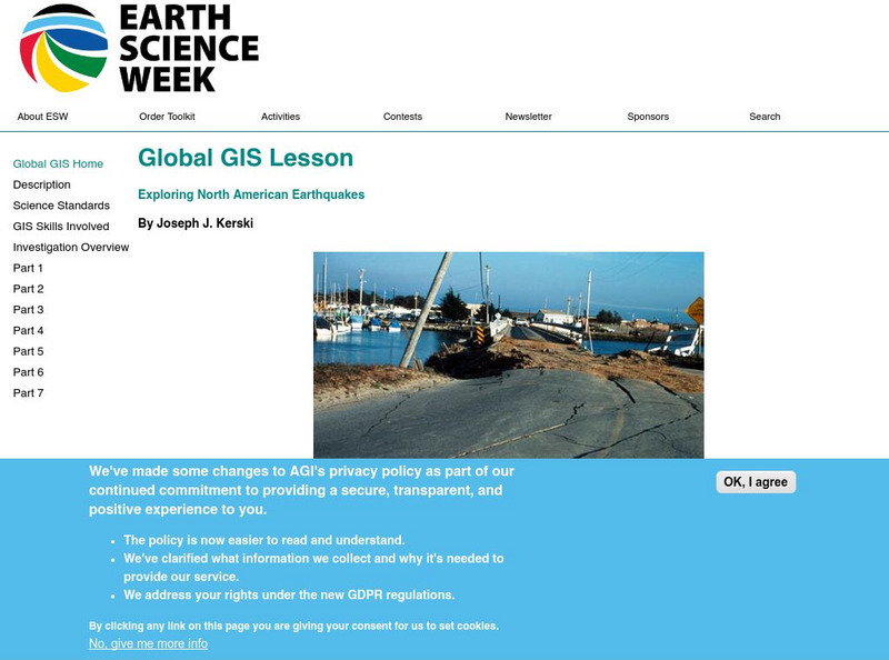
American Geosciences Institute: Earth Science Week: Global Gis Lesson: Exploring North American Earthquakes
In this series of lessons, learners use Geographic Information Systems (GIS) together with the tools and data from the North America Global GIS CD to investigate earthquakes, volcanoes, and population from a local to global scale....
Science Education Resource Center at Carleton College
Serc: Writing to Support the Theory of Plate Tectonics
This lesson helps students use images that depict earthquakes, seafloor ages, topography, and volcanoes, and then make a scientific argument supporting the Theory of Plate Tectonics.
American Geosciences Institute
American Geosciences Institute: Earth Science Week: Mapping Quake Risk
Students use GIS to observe worldwide patterns of earthquakes and volcanoes and analyze the relationships of those patterns to tectonic plate boundaries. Then they identify cities at risk.
PBS
Pbs: Earth Science Exploration
An earth science collection where learners can explore earthquakes, volcanoes, and more natural phenomena. The collection uses videos and interactive activities to investigate our dynamic planet and earth systems.


