Curated OER
Modeling the Seasons
Students explore the seasons and their attributes. In this geography lesson, students create a 3-D model of the Earth that showcases the elliptical travel of the Earth that causes seasons.
Curated OER
The Grand Canyon
In this geological processes worksheet, students use Google Earth to access pictures of the Grand Canyon. Students look at the layering of rock over time. Students complete 2 short answer questions.
Curated OER
Carving Mountains
Students explore geography by participating in an illustration activity. In this land-form lesson, students define vocabulary terms associated with glaciers and forests. Students utilize pens, cardboard and pottery clay to draw and...
Curated OER
Strengthening Democracy in Latin America
Sixth graders examine the many challenges facing the nations of Latin America today. In this World Geography instructional activity, 6th graders analyze various documents that will help strengthen democracy. Students create a...
Curated OER
Get Smart
Students study sustainability and smart growth. In this geography lesson students identify the benefits that are expected from smart growth.
Curated OER
Oceans of the World
Second graders demonstrate their ability to find the five oceans on a globe and on a world map and relate their knowledge of mountains and other physical characteristics of land masses to the physical characteristics of the ocean floor.
Curated OER
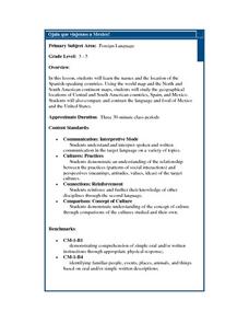
Ojala que viajemos a Mexico!
Students research the names and locations of Spanish speaking countries throughout the world. They use a world map to become familiar with the locations of these countries and use the Internet to conduct further research. They sing...
Curated OER
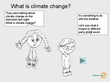
What is Climate Change?
Students research climate change. In this environmental lesson, students view a PowerPoint slideshow about climate change and identify the ways that climate change affects life on Earth.
Curated OER
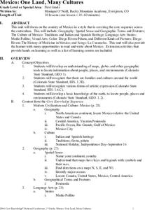
Mexico: One Land, Many Cultures
Students research and study the country of Mexico and complete a project about it. In this Mexico lesson plan, students research Mexico's geography, traditions, art, songs, stories, and legends that are native to Mexico.
Curated OER
Constructive and Destructive forces
Students explore constructive and destructive forces. In this constructive and destructive forces instructional activity, students complete a WebQuest. Students explore the different types of forces and their effect on the surrounding...
Curated OER
Using Cartograms t Learn about Latin American Demographics
Pupils make cartograms while drawing connections between physical, economic, social and cultural geography.
Curated OER
Japan: Images of a People
Learners learn the geography of Japan and its location in reference to the United States.
Curated OER
Landforms And The Oregon Trail
Fourth graders investigate the historical context for the founding of The Oregon Trail. They conduct research to put together the events that led to the geographical route that was taken. The lesson also strengthens geography skills with...
Curated OER
Ocean Currents
Students label the names, relative temperature, distribution, and direction of flow of major ocean currents on a world map. They also explore and model the natural forces that affect the movement of ocean currents through demonstrations...
Curated OER
Extreme Elevations
In this geography worksheet, 5th graders work in groups in order to locate and graph mountains found on all the continents of planet earth.
Curated OER
Where's the Sand?
Students identify the characteristics of deserts. In this geography lesson plan, students discuss the characteristics of a desert and label a map with the names of deserts.
Curated OER
Exploring the USA and the World with Cartograms
Learners investigate cartograms in order to explore the different countries on Earth. In this world geography lesson, students use the Internet to analyze data on different cartograms. Learners compare data, such as population density,...
Curated OER
Who Lives in the Arctic North?
Young scholars study the Arctic North. In this Canada history lesson, small groups of students research and then teach the class about either the plants, animals, humans, or geography in relation to the Arctic North. Young scholars make...
Curated OER
Dinosaurs Were Real!
Students investigate the history of dinosaurs, as real animals. In this dinosaur lesson plan, students examine basic concepts that help them understand the history of all life. Included in this article is information on the world of the...
Curated OER
It's A Jungle in Here!
Fifth graders research rainforest destruction. In this geography and ecology lesson, 5th graders work as a group to research the effects of logging, farming, and mining on the rainforest. Students gather and display data and information...
Curated OER
Tides and Currents
Students research and describe how currents are formed. In groups, they relate specific terms to the formation of currents and locate different currents on a world map. They also examine tides, how they are formed and how they are...
Curated OER
Directional Terms
Students identify and demonstrate various locational terms, and examine how a globe is a model of Earth. They repeat words and movements for various finger plays to demonstrate locational terms, play directional words games, and sing a...
Curated OER
Corals and Coral Reefs
Young scholars label the continents, oceans, and seas on a provided world map and use it to determine where they would expect most of the world's coral reefs to be found based on provided information the teacher has read to them.
Curated OER
The Oceans Below
Students investigate the geological characteristics of the ocean environment and create a labeled drawing of the ocean floor's geography. Students view videos and conduct Internet research about the ocean's floor and then create their...
Other popular searches
- World Map Earth's Biomes
- Geography Earths Crust
- Geography the Earths Crust
- World Map Earths Biomes
- World Map Earth's Bio Mes


