Encyclopedia of Earth
Encyclopedia of Earth: Antarctica
Facts about the location, human geography, physical geography, climate, geology, and topography of Antarctica.
Discovery Education
Discovery Education: Science Homework Help
The science section of this popular homework helper site features links to chemistry, life, earth, physical, and space science resources.
Science Education Resource Center at Carleton College
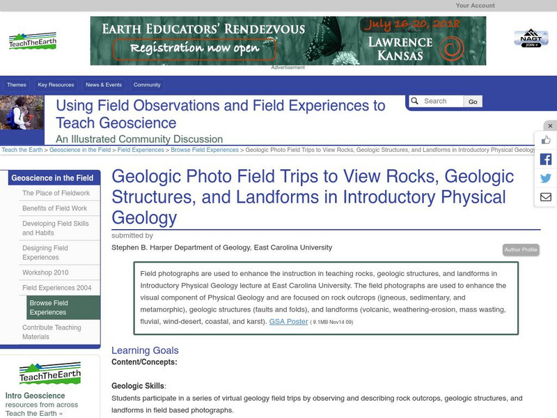
Serc: Geologic Photo Field Trips for Introductory Physical Geology
Learners participate in a series of virtual geology field trips by observing and describing rock outcrops, geologic structures, and landforms in field based photographs.
Exploratorium
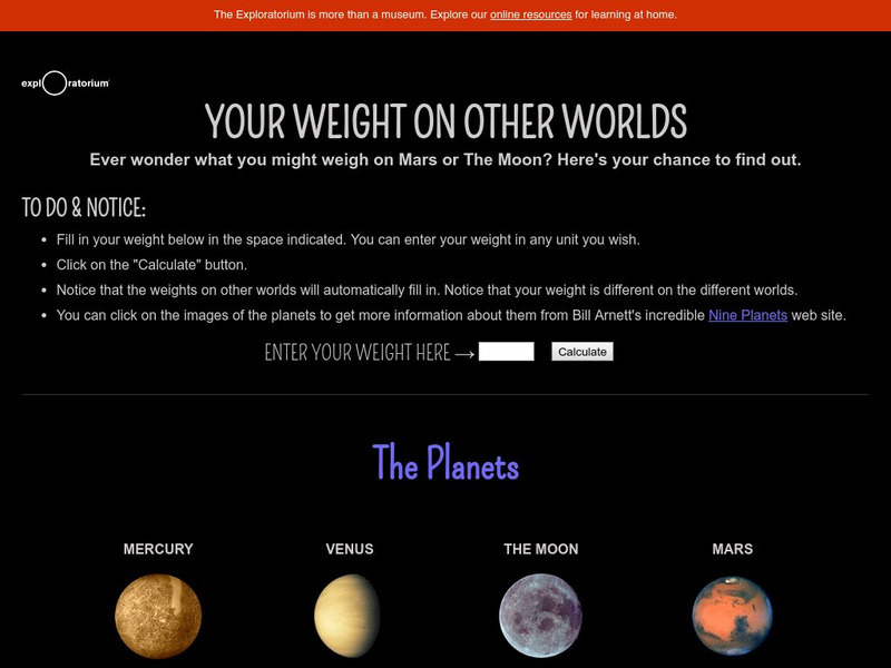
Exploratorium: Your Weight on Other Worlds
From the Exploratorium Museum. Includes an interactive feature in which a visitor enters their weight on earth and has their weight on other planets computed and displayed. Discusses the distinction between mass and weight and describes...
NASA
Nasa Space Place: El Space Place
NASA's space science site for kids - en Espanol. Features a wide range of activities, including games, projects, animations, and more. Also contains useful information on basic physics, chemistry, and other natural sciences, offering...
Khan Academy
Khan Academy: Gallery: Geology
See the wonders of the world in this gallery of the features and physical processes of Earth.
Other
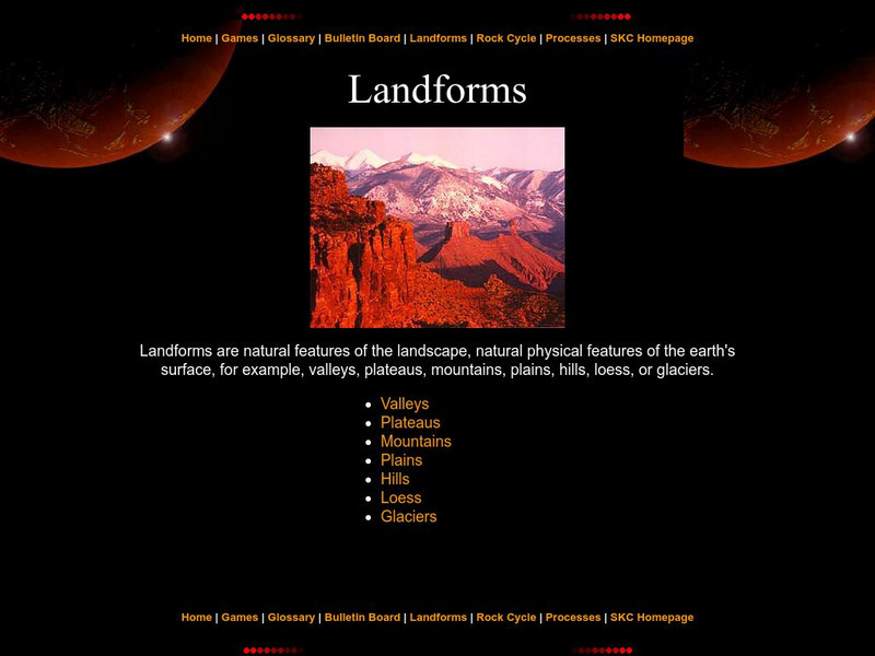
Landforms
The education department of Prince Edward Island has a great page with information pertaining to landforms. Starting with a definition, it then moves to the specific types like valleys, mountains, plateaus, etc.
National Weather Service
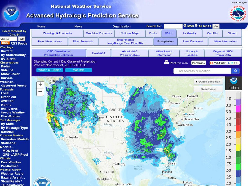
National Weather Service:climate Prediction Center: Daily Precipitation Analysis
Find real-time daily precipitation analysis for the United States, Mexico, and South America as well as accumulated precipitation maps for the past 30 or 90 days.
Concord Consortium
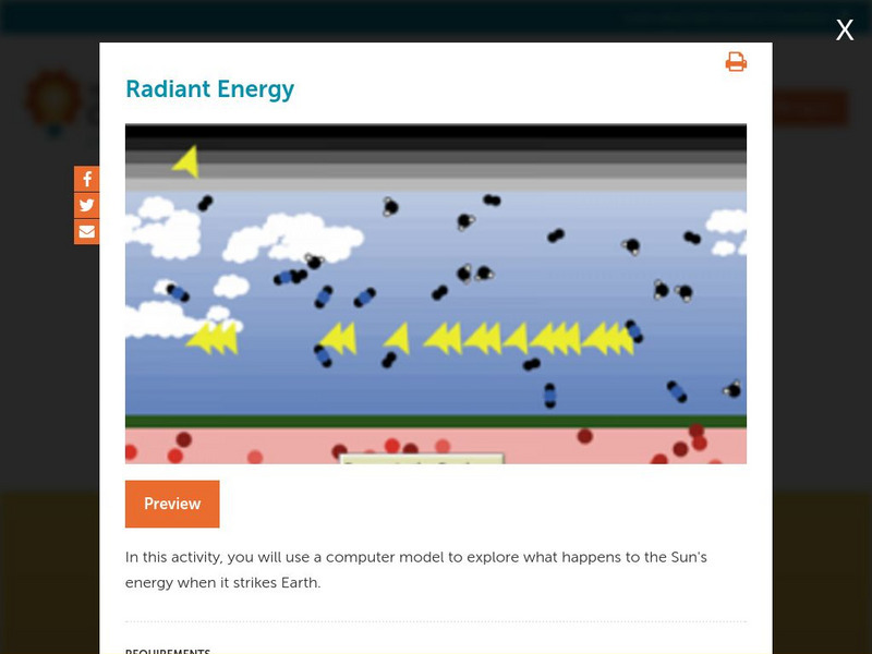
Concord Consortium: Stem Resources: Radiant Energy Flow
A virtual lab to look at the physical features of Earth that affect the amount of the Sun's energy that hits Earth. Students investigate how solar and infrared radiations enters and leaves the atmosphere with this model. Virtual lab...
Latimer Clarke Corporation
Altapedia Online: World Map Resources
Features downloadable World Political and Physical Maps that include country names, country borders, ocean features, island names, and lat/long graticules. Clicking on any part of the map enlarges it.
Other
Bscs: Bscs Science Teaching Video Library
Elementary teachers have an urgent need for high-quality science classroom videos. To respond as rapidly as possible, BSCS Science Learning has made some of our best K-12 videos available for free streaming. In this collection, you'll...
Keene College
Geo Granite: Is a Nation Always a Region?
This activity assists students in understanding the differences between political constructs and regions.
Science Education Resource Center at Carleton College
Serc: Lab 2: What's a Watershed?
Students build a physical model to simulate watershed features, then use Google Earth software to tie the model to a real place. By exploring several layers of map-based images and data, students learn the complexity of a watershed and...
Other
College of Exploration: Ocean Literacy [Pdf]
A guide to help educators become ocean literate. The goal is to redress the lack of ocean-related content in state and national science education standards, instructional materials, and assessments. PDF (requires Adobe Reader).
Keene College
Geo Granite: Local Area What Is a Region?
This lesson helps students understand how the natural physical characteristics of river valleys create regions.
Other
Southern Kings Consolidated School: Loess
This site describes loess in pretty good detail, also adding visual with two pictures. Great source for understanding how loess occurs and where it is found.
Keene College
Geo Granite: Describing Places
At this site, explore the concept of regions, learning that regions can be defined in countless ways, depending on a person's perspective.

