Michigan State University
Michigan State University: Global Edge: Rwanda: Introduction
Explore statistics, history, culture, economy, politics, and demographics for the country of Rwanda in Central Africa.
University of Pennsylvania
University of Pennsylvania: History of Kenya
Mainly an article concerning Kenyan independence, there is a brief section about colonial rule in the 1800s.
University of California
The History Project: South African Diamond Mines, 1870s
The Dutch East India Company established a colony at the Cape of Good Hope in 1652 and administered it until 1795 when it fell into British hands. The British returned Cape Colony to the Company for a three-year period before finally...
Other
Living Lakes: Saint Lucia Lake
Provides color pictures and statistics on the biological and watershed characteristics of the Saint Lucia Lake on the east coast of South Africa.
Smithsonian Institution
National Museum of Natural History: African Voices
This site is the web presence of "African Voices," a permanent exhibition at the National Museum of Natural History. It explores the "diversity, dynamism, and global influence of Africa's peoples and cultures." Includes art, texts, and...
Lizard Point Quizzes
Lizard Point Quizzes: Eastern Africa: Countries Quiz
Take this eleven question interactive map quiz to practice and test your knowledge of Eastern African geography.
Countries and Their Cultures
Countries and Their Cultures: Bedouin
Bedouin societies are found in the arid steppe regions of Arabia and North Africa and along the margins of rain-fed cultivation. Bedouin groups move their animals to areas where pasture is regularly found. Often these societies plant...
Encyclopedia of Earth
Encyclopedia of Earth: Kenya
The Encyclopedia of Earth provides an overview of Kenya, including its geography, natural resources, history, government, economy, and much more. Maps and images are also included, along with sources used to create the entry.
Nations Online Project
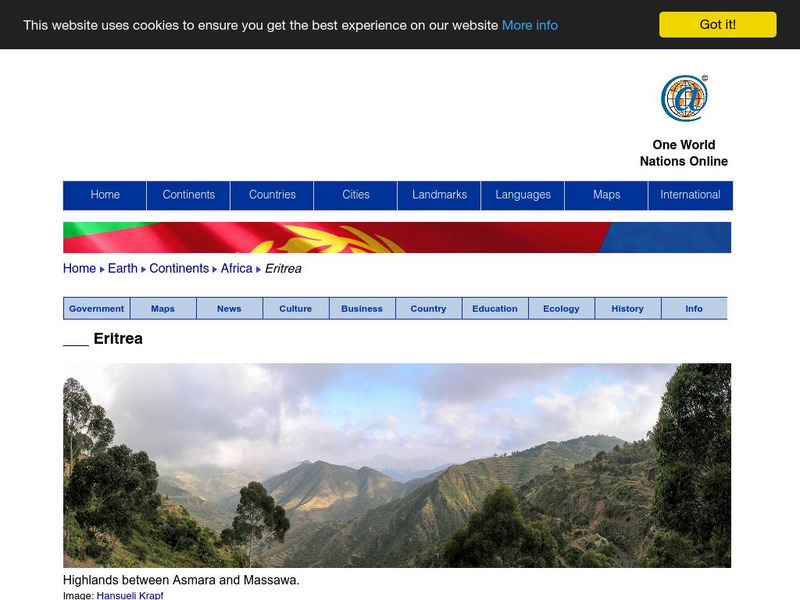
Nations Online: Eritrea
Features a detailed destination guide to Eritrea, background overview, and numerous links to comprehensive information on the nation's culture, history, geography, economy, environment, population, news, government, maps, and much more...
Nations Online Project
Nations Online: Burundi
Explore this page to get a country profile of Burundi, background details, travel guide and numerous links to an abundance of information on the nation's culture, history, geography, economy, environment, population, news, government,...
Open Door Team
Open Door Web Site: The Scramble for Africa: Germany
Briefly describes the limited role Germany had in the scramble for African territories. A link to a map of colonial holdings during this period of New Imperialism is included.
Curated OER
Educational Technology Clearinghouse: Maps Etc: Colonial Africa, 1914
A map of Africa in 1914, showing the presence of European powers, including British, French, German, Portuguese, Spanish, Italian, and Belgian possessions. Native states, major cities and major railways are also shown. This map reflects...
Curated OER
Educational Technology Clearinghouse: Maps Etc: Africa, 1906
A map of the African continent in 1906 showing European land claims such as British East Africa, German East Africa, Portuguese East Africa, Italian Somalia, and others, and European colonies and corporate states such as Cape Colony,...
Curated OER
Educational Technology Clearinghouse: Maps Etc: Colonial Africa, 1904
A map of Africa shortly after the Berlin Conference of 1885, which established the European colonial territory claims on the continent. These European and independent boundaries include Algeria and the Saharan Sphere of French Influence,...
Curated OER
Educational Technology Clearinghouse: Maps Etc: Africa After Wwi, 1921
Political map of Africa shortly after WWI showing boundary changes, including losses of German territory after the Treaty of Versailles. German Southwest Africa is shown as part of the Union of South Africa, and German East Africa is...
Curated OER
Etc: Maps Etc: European Possessions of Africa, 1906
A map of Africa after the Berlin Conference of 1885, which established the European colonial territory claims on the continent. This map shows the Belgian, British, French, German, Italian, Portuguese, and Spanish claims, and the Turkish...
Curated OER
Educational Technology Clearinghouse: Maps Etc: Africa, 1919
A map from 1919 of Africa showing the territorial changes made after World War I. The map shows the areas ceded by Germany, including Togo and Kamerun to be decided by British and French mandate, German East Africa under British mandate,...
Curated OER
Etc: Maps Etc: German Territories in Africa, 1915
These three maps show the German Territories in Africa circa 1915. They include Togo, Cameroon, German Southwest Africa (Namibia), and German East Africa (Tanzania). Maps indicate the general relief of each territory, major rivers, and...
Curated OER
Educational Technology Clearinghouse: Maps Etc: Northeastern Africa, 1906
Map of Northeastern Africa in 1906 showing the region and territorial boundaries after the Berlin Conference of 1885. The map shows the European land claims of English East Africa, Kongo Free State, British Somali Land and Italian Somali...
Countries and Their Cultures
Countries and Their Cultures: Kongo
The BaKongo, numbering three to four million, live in west-central Africa The unitary character of the Kongo group and the identity of the various subgroups are artifacts of colonial rule and ethnography. Most men and many women work, or...
Countries and Their Cultures
Countries and Their Cultures: Fulani
The Fulani are found in twenty nations in a wide swath of Africa -- from Mauritania and Senegal to Sudan, Ethiopia, and Kenya. The Fulani form the largest pastoral nomadic group in the world. The Bororo'en are noted for the size of their...
Countries and Their Cultures
Countries and Their Cultures: Hausa
The Hausa constitute the largest ethnic group in West Africa. The term "Hausa" actually refers to the language and, by extension, to its native speakers, of whom there are about 25 million. Agriculture is the main economic activity....
Countries and Their Cultures
Countries and Their Cultures: Mande
"Mande" is a term that has been used to identify the culture that embraces the western third of Africa's great northern savanna and coastal forests. The Mali Empire was the source of the Mande diaspora; therefore, in a broad sense,...


