Curated OER
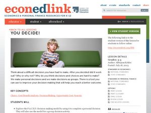
You Decide
Fourth graders, who live on a Native American reservation, investigate how land management is addressed at Tribal Council meetings. They participate in a simulation of a meeting as the discover the workings of tribal government. They...
Curated OER
The State Of Wisconsin
Students investigate the state of Wisconsin and use sound to experience the concept differently. They listen to Native American songs of a tribe in the state. Also they listen to the frogs that live there in the classroom or out in the...
Curated OER
Loggerhead Nest Management Program
Students identify the sea turtle management documentary and complete an activity for each slide. They plot the location of nests laid on the island they patrol and discuss their rationale for management decisions. Finally, students...
Curated OER
How Are Boundaries Made, Kept, Broken?
Students perform raps and analyze issues among the rich and poor. They explore how countries are labeled as "third world" and "first world." They create a dialectical journal and examine the country of Nigeria through the reading of...
Curated OER
Two Ways About It
Students take an imaginary hike in two opposite directions along a lake. They view and interpret satellite images and discuss the pros and cons of hydroelectric dams.
American Geosciences Institute
American Geosciences Institute: Earth Science Week: Geologic Maps & Earthquakes
This activity is designed to give students practice using a geologic map to assess the likelihood and location of a particular natural hazard- earthquakes- in California.
TeachEngineering
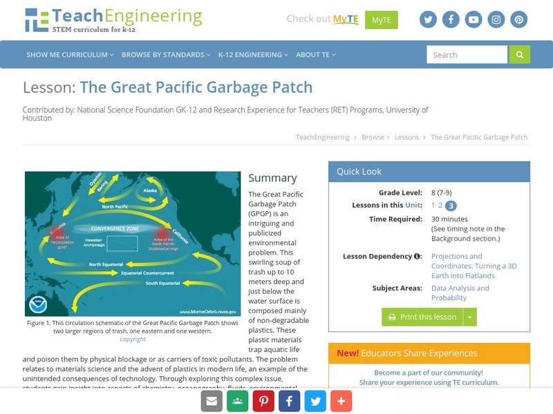
Teach Engineering: The Great Pacific Garbage Patch
The Great Pacific Garbage Patch (GPGP) is an interesting and somewhat publicized environmental problem. A swirling soup of trash up to 10 meters deep and just below the water surface is composed mainly of non-degradable plastics. These...
Science Education Resource Center at Carleton College
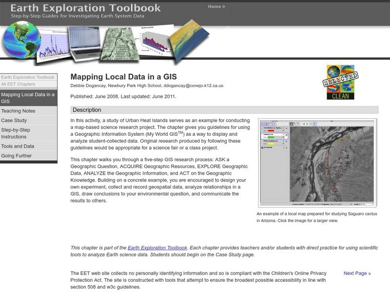
Serc: Mapping Local Data in a Gis
In this activity, students will learn how to conduct a map-based science research project using a Geographic Information System (GIS). They will design an experiment, collect and record geospatial data, analyze geospatial relationships...
Other
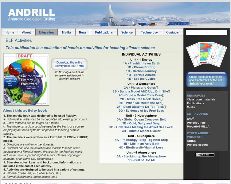
Antarctic Geological Drilling: Environmental Literacy Framework Activities
An impressive collection of lessons on climate science and climate change. The entire book can be downloaded. As well, each lesson has its own page with some combination of background information, PowerPoints, images, maps, glossaries,...
BSCS Science Learning
Bscs: Stocking Rivers With Trout
This inquiry looks at fish farming and the management of trout by state environmental resource specialists in Colorado. Students will practice working with data generated from a statewide citizen science project called River Watch of...
Science Education Resource Center at Carleton College
Serc: Investigating Neighborhood Wetlands
In this Environmental Science and Engineering field activity, students will map a neighborhood wetland and generate various watershed questions. Students will identify engineered structures in or around this wetland and consider how...
