Curated OER
The Path of Pollution
Students conduct a brainstorming exercise that asks them to list all the ideas about air pollution that can be recalled. The ideas are recorded on a chart that the teacher has prepared. The lesson contains sufficient background...
Curated OER
The European Union
Students explore what the European Union is by looking at the historical steps that have revitalized European nations as an economic competitor in global trade. They design three illustrated and comprehensive time line murals to show the...
Curated OER
See the World
Seventh graders locate and write creatively about different places and their cultures. They identify the physical, economic, social, political and cultural characteristics of selected regions in the Eastern Hemisphere. Finally, 7th...
Curated OER
Anne Frank: Courage and Responsibility
Sixth graders examine attitudes toward discrimination. They increase their sensitivity to diversity. After a lecture/demo, 6th graders read about people who exhibit courage and complete a writing assignment about them.
Curated OER
The Rocky Shore
Students compare a realistic landscape painting with a photograph of the same place.
Curated OER
Exploring the Continents Through the Arts
Students examine the continents and explore geographic components in the fifteen lessons of this unit. The location of the continents, the equator, the four major oceans, and the music, food, literature, dance, and drama from each of the...
Curated OER
Focused Learning Lesson: American History
Eleventh graders compare and contrast the type of immigrant that came to America during the 19th and 20th centuries. They write letters as if they were immigrants coming to America and what they faced and their hopes for the future.
Curated OER
Around The World
Students search the Internet through a sequence of steps to reach the country of their nationality. They research and collect information about their country.
Curated OER
The New Californians
Students identify the groups of immigrants who came to California. They trace the route they possibly took to American on a world map. They discuss the reasons why they left their homeland and what challenges they faced once they arrived.
Curated OER
Immigration in Massachusetts, 1880-1920
Students, in groups, research immigration in America at the turn of the century. They put together a series of original written essays, letters, newspaper columns, etc. that show what it was like to live as an American citizen and as an...
Curated OER
Arabia Before Islam
Students explore the geographical, socio-economic, political, and religious background of Arabia before Islam began. They discuss why the rich merchants of Mecca opposed and oppressed Muhammed. Students discuss the influence of geography...
Curated OER
Jamestown Journey Part 2
Fourth graders create a chart or web to display qualities and characteristics of a good leader.
They write a paragraph describing the qualities of a good Jamestown leader. Finally, 4th graders contribute to small group discussion about...
Curated OER
Adjectives and Adverbs in Sentences
In these adjectives and adverbs worksheets, students complete three pages of activities that help them use adjective and adverbs in a clear and vivid way.
Library of Congress
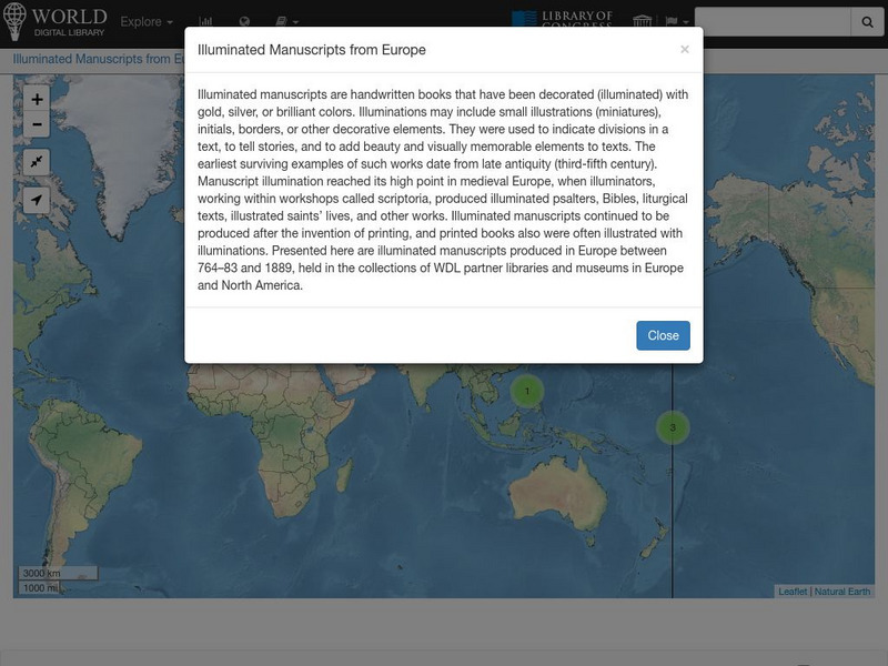
World Digital Library: Illuminated Manuscripts From Europe: Map
A collection of primary source materials linked to a map that showcase illuminated manuscripts from 764 to 1889 that are in European museums and libraries. Click on a numbered circle and a popup appears showing one or more thumbnails and...
That Quiz
That Quiz: Practice Test: Europe
This resource provides a practice test which allows users to test their geographical knowledge of Europe.
University of Texas at Austin
Perry Castaneda Library Map Collection: Historical Maps: Europe, a.d.1560
Detailed map of Europe around A.D. 1560.
University of Texas at Austin
The Perry Castaneda Library Map Collection
This collection contains more than 250,000 maps covering all areas of the world, and ranging from political and shaded relief maps to the detailed and the historical. Select from a region of the world or an area of highlighted interest.
Library of Congress
Loc: World War Ii Military Situation Maps
World War II Military Situation Maps contains maps showing troop positions beginning on June 6, 1944 to July 26, 1945. Starting with the D-Day Invasion, the maps give daily details on the military campaigns in Western Europe, showing the...
BBC
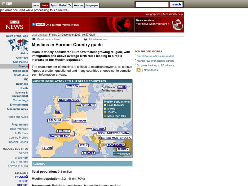
Bbc: Muslims in Europe: Country Guide
Information about the Muslim population in Europe can be obtained by clicking on this interactive map. (23 December 2005)
BBC
Bbc News: Inside Europe
This site focuses on the current events of the European Union. The items included are news stories, photos, country profiles, maps, and much more on this thorough site.
University of Texas at Austin
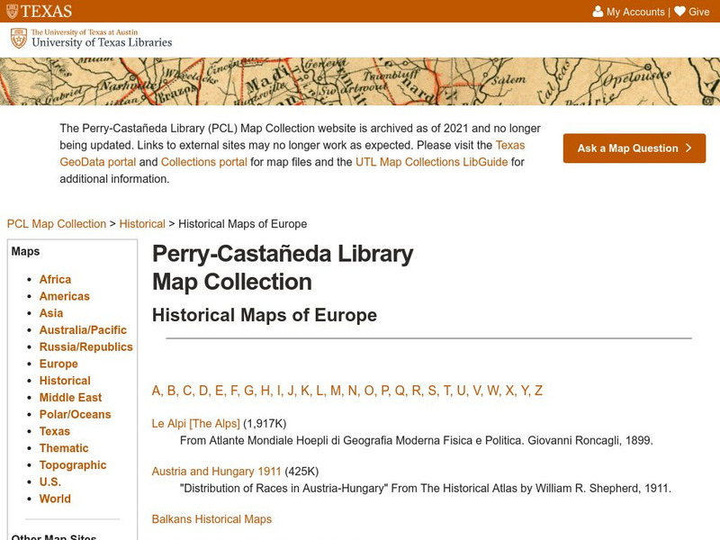
Perry Castaneda Library Map Collection: Historical Maps of Europe
This collection from the University of Texas Library Online of historical maps contains a wide variety of maps from various parts of Europe and from different parts of history. Each map is accompanied by a brief description and is clear...
World Atlas
World Atlas: Europe
A comprehensive guide to Europe including a variety of maps, statistics, facts, and information on history, geography, flags, symbols, travel, and much more.
University of Calgary
University of Calgary: The End of Europe's Middle Ages
This useful tutorial includes information about the economy, feudalism, the Holy Roman Empire and other important topics pertaining to Europe in the fourteenth and fifteenth centuries, a time of transition in European history. Easy to...
Other popular searches
- Maps of Europe
- Blank Maps of Europe
- Outline Maps of Europe
- Geography Maps of Europe
- Maps of Europe 1914
- Map of Europe
- Maps of Europe Political
- Maps of Europe Ppt
- Maps of Europe Pot
- Medieval Europe Outline Map
- Medieval Europe Map
- Maps of Europe 1919

