National Geographic Kids
National Geographic Kids: Europe: Spain
Welcome to Spain! Follow this interactive overview of the country's history, geography, people, government, nature, and more. A map and video are included.
National Geographic Kids
National Geographic Kids: Europe: United Kingdom
Welcome to the United Kingdom! Follow this interactive overview of the country's history, geography, people, government, nature, and more. A map and video are included.
Other
Stadtplandienst Map Service
A helpful tool in finding locations in Germany. Just type in an address or town/city, or click on the interactive map, and receive a map of your destination. This site is only in German.
NOAA
Noaa: Cpc: Regional Climate Maps
Provides large colorful maps of climate data about each continent for the current week, month, or previous quarter.
Curated OER
University of Texas: Historical Maps: Europe During the 15th Century
Large map of 15th century Europe. Click on map to enlarge it. From the Perry-Castenada Collection.
University of Texas at Austin
Perry Castenada Collection: Europe in the 12th Century, the Age of the Crusades
Large map of 12th century Europe and the Christian states in the East during the Crusades. From the historical maps in the Perry-Castaneda Collection.
Curated OER
University of Texas: Maps: Europe
This map of Europe shows Turkey's place in both Europe and Asia.
Curated OER
University of Texas: Latvia: Political Map
A political map of Latvia showing its major cities, highways, and rivers. You can also find the neighbors of Latvia on this map from the Perry-Castaneda Collection.
Curated OER
University of Texas: Albania: Political Map
A political map of Albania showing its major cities and highways, district boundaries, and neighboring countries. Clicking on the map will enlarge it. From the Perry Castaneda Collection.
Curated OER
University of Texas: Albania: Relief Map
A relief map of Albania clearly showing its mountainous terrain and its rivers. Clicking on the map will enlarge it. From the Perry Castaneda Collection.
Curated OER
University of Texas: Bosnia Herzegovina: Political Map
A political map of Bosnia-Herzegovina showing the major cities and highways, the Inter-Entity Boundary Line, and its neighboring countries. Clicking on the map will enlarge it. From the Perry Castaneda Collection.
Curated OER
University of Texas: Bosnia Herzegovina: Relief Map
A relief map of Bosnia-Herzegovina showing its rivers and mountainous terrain. Clicking on the map will enlarge it. From the Perry Castaneda Collection.
Curated OER
University of Texas: Bulgaria: Political Map
A political map of Bulgaria showing its major cities and highways, province boundaries, and its neighboring countries. Clicking on the map will enlarge it. From the Perry Castaneda Collection.
Curated OER
University of Texas: Bulgaria: Relief Map
A relief map of Bulgaria which shows its mountainous terrain. Clicking on the map will enlarge it. From the Perry Castaneda Collection.
Curated OER
University of Texas: Croatia: Relief Map
A relief map of Croatia showing its long coastline and mountainous terrain. Clicking on the map will enlarge it. From the Perry Castaneda Collection.
PBS
Pbs: Mapping the Holocaust
When Allied forces reached the concentration camps in WWII, they were not prepared for the devastation that they saw. The soldiers filmed what they witnessed and Frontline used the footage in the documentary Memory of the Camps [57:35]...
Curated OER
University of Texas: Maps: Turkey
This political map of Turkey from the Perry-Castaneda collection shows Turkey reaching from Asia across the Bosporus to Europe.
Curated OER
University of Texas: Lithuania: Political Map
A political map of Lithuania showing the major cities and highways, county boundaries, and neighboring countries. From the Perry Castaneda Collection.
Lonely Planet
Map of Scotland
This is a map of Scotland. It is in full color and has all major cities located on it. You can click on the map for information on Scotland.
Lizard Point Quizzes
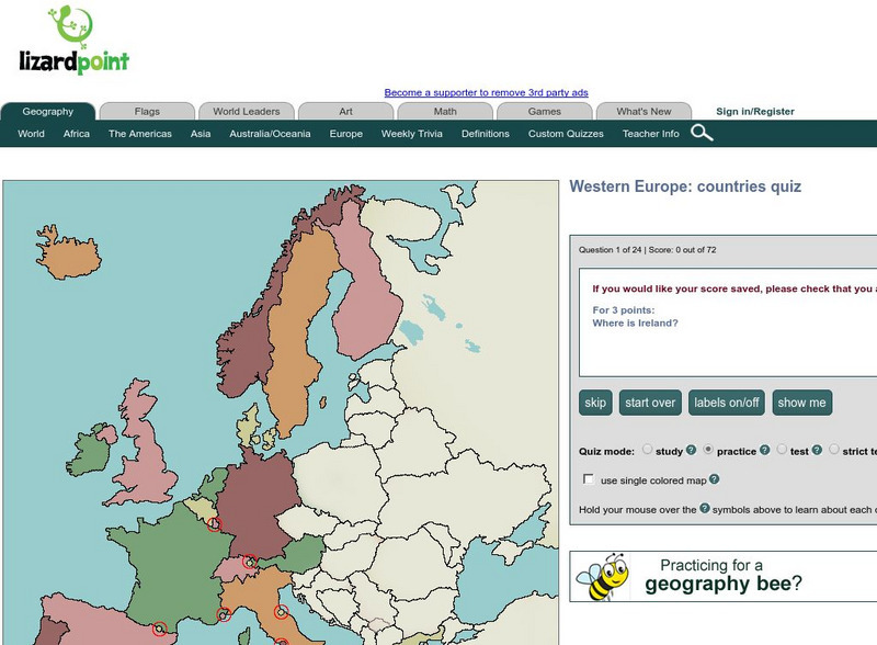
Lizard Point: Western Europe: Countries Quiz
Test your geography knowledge by taking this interactive quiz over the countries of Western Europe.
Made From Media
Made From History: Europe in 1914 First World War Alliances Explained
See actual illustrated maps form the time of World War I. On one side, see the dual alliance between Germany and Austria-Hungary, and on the other, the Triple Entente between France, Russia, and Great Britain.
Science Struck
Science Struck: How Many Countries Are There in Europe?
Presents a map and a list of all the European countries, along with their capitals, land area, population, language, and currency.
Other
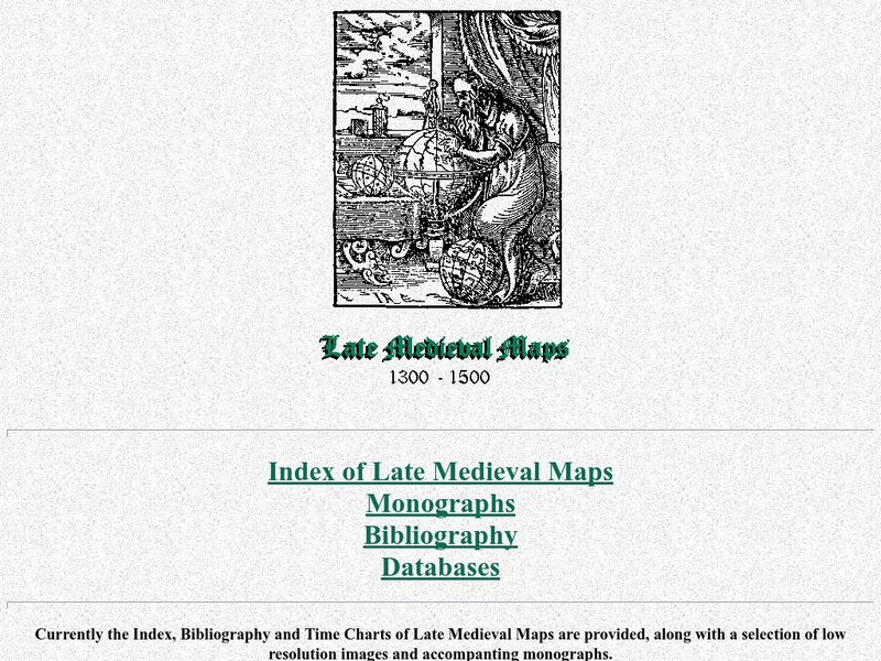
Cartographic Images: Late Medieval Maps 1300 1500
Find some incredible maps of early cartographers. What did they know of the world then? Did they know it was round? Take a look at this site.
ClassFlow
Class Flow: Europe Map Review
[Free Registration/Login Required] This is a one page flipchart that uses the Magic Eraser tool to review European countries.
Other popular searches
- Maps of Europe
- Blank Maps of Europe
- Outline Maps of Europe
- Geography Maps of Europe
- Maps of Europe 1914
- Map of Europe
- Maps of Europe Political
- Maps of Europe Ppt
- Maps of Europe Pot
- Medieval Europe Outline Map
- Medieval Europe Map
- Maps of Europe 1919


