Lizard Point Quizzes
Lizard Point: Europe: Capitals Quiz
Test your geography knowledge by taking this interactive quiz over the capital cities of Europe.
Other
Ordnance Survey: Map Zone
All kinds of fun and interesting ways to learn about maps and acquire mapping skills.
University of California
Earthguide: Maps: Shaded Relief: Europe [Pdf]
View a digital image of a colored shaded relief map of Europe.
Other
New World Encyclopedia: Mongol Invasion of Europe
This detailed text based article focuses on the Mongol invasions of Europe throughout the 13th century. A small interactive map shows the expansion of the Mongolian empire and its conquests into Europe.
US Holocaust Memorial Museum
U.s. Holocaust Memorial Museum: World War Ii in Europe: Animated Maps
The maps on this website show the ebb and flow of Germany's initial domination of Europe, and then the allies' retaking of the territory in WW II. Audio commentary describes the changes from 1939 to 1945.
University of Oregon
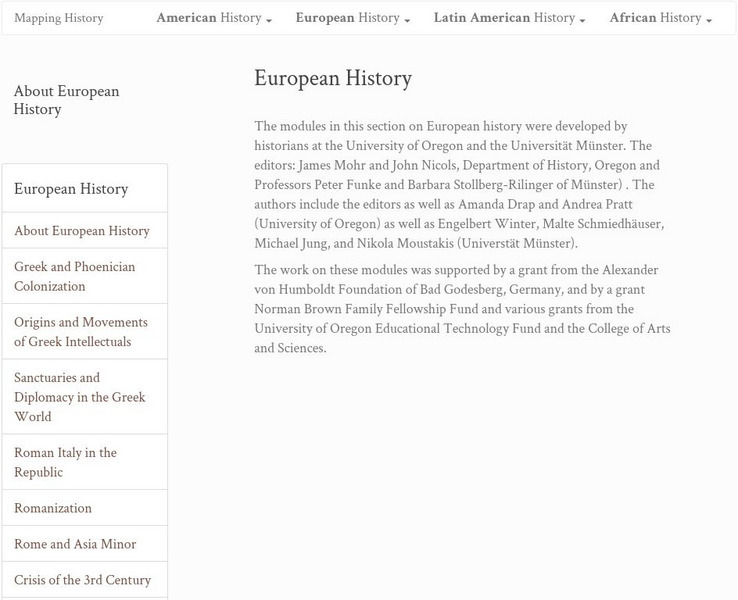
Mapping History: European History
Interactive and animated maps and timelines of historical events and time periods in European history from Greek and Phoenician colonization up to the 20th century.
Other
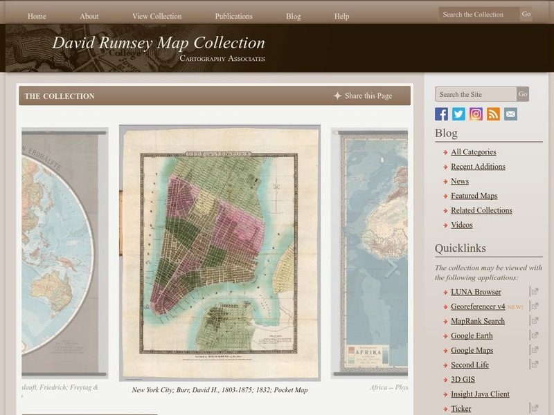
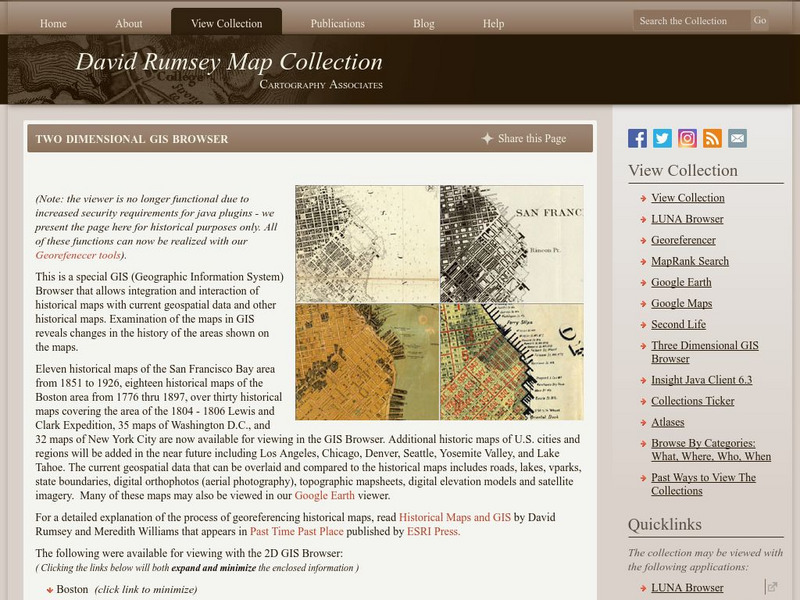
The David Rumsey Historical Map Collection
"The David Rumsey Historical Map Collection focuses on rare 18th and 19th century North and South America cartographic history materials. Historic maps of the World, Europe, Asia, and Africa are also represented. The collection...
Central Intelligence Agency
Cia: World Factbook: Regional and World Maps
Maps of major areas of the world can be downloaded here. The maps have excellent detail and are in color.
Other
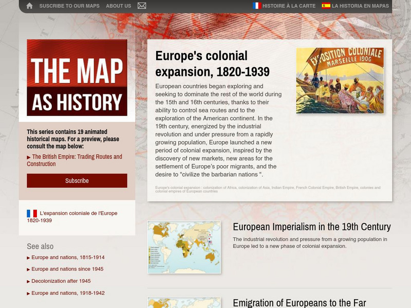
The Map as History: Europe's Colonial Expanision 1820 1939
European countries began exploring and seeking to dominate the rest of the world during the 15th and 16th centuries, thanks to their ability to control sea routes and to the discovery of the American continent. In the 19th century,...
Other
Queen Elizabeth 1: Europe in the Age of Elizabeth
A brief synopsis of England's relationship with Spain is included in this overview of Queen Elizabeth's dealings with the rest of Europe.
Curated OER
University of Texas: Croatia: Political Map
A political map of Croatia showing its major cities and highways, county boundaries, and neighboring countries. Note that the map is from 2001 so will show Yugoslavia as a neighboring country. From the Perry Castaneda Collection.
Other
Islam Project: Maps
A series of historical and near-present-day maps that span Islamic history. Starting with A.D. 750, the maps illustrate both the spread of Islam (from Medina outward to Africa, the Middle East, Europe, and other parts of the world) and...
US Holocaust Memorial Museum
U.s. Holocaust Memorial Museum: Map: European Rail System, 1939
Map showing the network of railroads in Europe that facilitated the transport of Jews to extermination camps in German-occupied Poland.
University of Oregon
Mapping History: Late Aegean Bronze Age
A key makes this map useful for locating cities and palaces of the Late Aegean Bronze Age (1250-1000 BC) and for understanding the extent of Mycenaean culture.
Cool Math
Coolmath: Coolmath Games: Map Snap: Europe
You are presented with an outline map of Europe and you must place each country in its correct position. It clicks into place if you're in the right spot. You may want to start with the practice mode which has the shape outlines of the...
Lizard Point Quizzes
Lizard Point: Europe: Countries Quiz
Try this interactive geography quiz which tests your knowledge about the countries of Europe.
Other
Harper College: Map Quiz Tutorial
A great way to learn about and then test yourself on Europe's geography. Includes three map tutorials. Good tool for visual learners!
Ancestry
Europe 1820
Although there is no key, the map shows provinces, country boundaries, and the German Confederation boundary of 1820.
Tom Richey
Tom Richey: Power Point: Medieval Europe: Franks, Feudalism, and Chivalry
Tom Richey offers a 54 slide presentation with maps on Medieval Europe and informs us about the Franks, Feudalism and Chivalry in the Middle Ages.
Other
David Rumsey Historical Map Collection
The collection of more than 150,000 maps focuses on rare 18th and 19th-century maps of North and South America, although it also has maps of the World, Asia, Africa, Europe, and Oceania. The collection includes atlases, wall maps,...
Other
Military Analysis Network: Map of Nato Member Nations
Great map of Europe with color coated countries denoting when they joined NATO.
Other
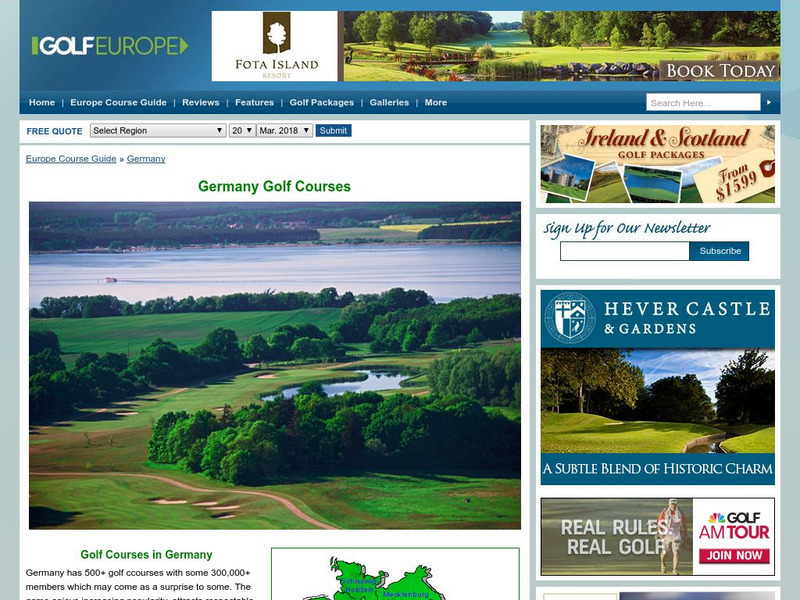
Golf Europe: Golf Clubs in Germany/other
"Germany has 500+ golf clubs with some 300,000+ members which may come as a surprise to some. The game enjoys increasing popularity, attracts respectable sponsorship money and boastsone of the the finest European golfers ever, in the...
ClassFlow
Class Flow: Western Europe
[Free Registration/Login Required] I have created a brief flip chart to introduce my students to Western Europe. I have 3 different maps of Europe and slides on each of the Western European Countries.
Other popular searches
- Maps of Europe
- Blank Maps of Europe
- Outline Maps of Europe
- Geography Maps of Europe
- Maps of Europe 1914
- Map of Europe
- Maps of Europe Political
- Maps of Europe Ppt
- Maps of Europe Pot
- Medieval Europe Outline Map
- Medieval Europe Map
- Maps of Europe 1919

![Earthguide: Maps: Shaded Relief: Europe [Pdf] Graphic Earthguide: Maps: Shaded Relief: Europe [Pdf] Graphic](https://d15y2dacu3jp90.cloudfront.net/images/attachment_defaults/resource/large/FPO-knovation.png)
