Other
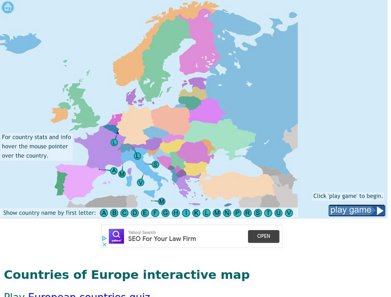
Seterra: Europe: Countries Map Quiz Game
Test your geographical knowledge of Europe and see if you can place all the countries of Europe in their correct spot!
Ducksters
Ducksters: Geography Games: Map of Europe
Play this fun geography map game to learn about the locations of the countries of Europe.
Digital Dialects
Digital Dialects: Geography Games: Countries of Europe
Study a map showing the countries in Europe, and then try to match their names to their locations on a blank map.
That Quiz
Geografia Europa: That Quiz: Europe
Interactive practice to learn the countries of Europe. It keeps track of right and wrong answers and the time in which it takes to identify the maps.
Ducksters
Ducksters: Geography Games: Capital Cities of Europe
Play this fun geography map game to learn about the capital cites of the countries of Europe.
Other
Historical Maps: Map of Carolingian Empire
Contains a map and brief description of the Carolingian Empire in 814.
National Geographic Kids
National Geographic Kids: Portugal
Follow this interactive overview of the country's history, geography, people, government, nature, and more. A map and video are included. Adobe Flash Required.
Other
The Castles of Wales
This resource includes an index and maps of castles in Wales, plus essays, glossary of castle words, FAQ's, plus other information related to castles.
Other
Stones of Wales
This is an interactive map of Wales, if you click on the major cities, links are provided to give more information.
Other
Stones of Wales
This is an interactive map of Wales, if you click on the major cities, links are provided to give more information.
Ancestry
Europe After the Congress of Vienna, 1815
Map of Europe after the Congress of Vienna of 1815, showing the gains of Prussia, Russia, Sardinia, and Austria, as well as the boundaries of the German Confederation.
Curated OER
University of Texas: Relief Map of Sweden
This page provides a map of Sweden, identifying major cities, railroads, highways & boundaries. From the Perry Castaneda Collection.
Library of Congress
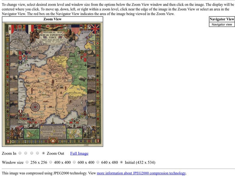
Loc: American Memory: Historical Map American Expeditionary Force
Explore this interesting historical map drawn by Ezra C. Stiles that showed the American Expeditionary Force in Europe during World War I.
Curated OER
Etc: Maps Etc: Europe After the Treaties of Utrecht and Nystad, 1721
A map of Europe in 1721 after the Treaty of Utrecht ending the War of the Spanish Succession, and the Treaty of Nystad ending the Great Northern War between Sweden and the Russians and Danes. The map shows the northern territories of...
Curated OER
Etc: Maps Etc: Europe at the Beginning of the Modern Era, 1792
A map of Europe in 1792 during the French Revolution and the beginning of the Modern Era. This map is color-coded to distinguish between various countries throughout the continent, including Great Britain, France, United Netherlands,...
Curated OER
Etc: Europe at the Time of the Reformation, 1517 1648
Map of Europe at the time of The Protestant Reformation movement from Martin Luther in 1517 to the Peace of Westphalia in 1648. Shows major cities of the time, major river ways, topography, political boundaries. This map illustrates the...
Curated OER
Etc: Maps Etc: Europe at the Death of Charles the Great, Ad 814
A map showing the kingdoms, empires and domains of tribal groups in Europe at the death of Charles the Great in 814 CE.
Curated OER
Etc: Maps Etc: Physical and Cultural Geography of Europe, 1915
Six maps of Europe showing the average rainfall, the major climate zones, agricultural products (rye, corn, wheat, rice, and sugar beets), industrial products (iron, textile, and coal), ethnic groups, and religions.
Curated OER
Etc: Division of Europe as to War With England, 1778 1782
A map showing the division of Europe as to War with England, 1778 to 1782, including neutral countries, countries hostile to England's Maritime Code, and open enemies of England.
Curated OER
Etc: Europe During the Time of Napoleon I, 1804 1814
Europe, during the Time of Napoleon 1.
W. W. Norton
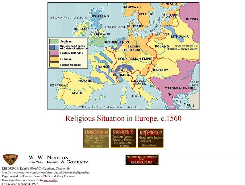
W.w. Norton & Company: Map of Religious Situation in Europe, C.1560
Colored map that illustrates the religious situation in Europe at the end of the Protestant Reformation.
W. W. Norton
W.w. Norton & Company: Map of Europe After the Congress of Berlin, 1878
Contains a map of Europe after the Congress of Berlin in 1878.
Other
Smis: Daily Satellite Photo: European Russia, Western Siberia, North East Europe
This site offers weather maps for three areas: European Russia, Western Siberia, and Northeast Europe. The maps show very current weather conditions for each area.
Other popular searches
- Maps of Europe
- Blank Maps of Europe
- Outline Maps of Europe
- Geography Maps of Europe
- Maps of Europe 1914
- Map of Europe
- Maps of Europe Political
- Maps of Europe Ppt
- Maps of Europe Pot
- Medieval Europe Outline Map
- Medieval Europe Map
- Maps of Europe 1919


