Ducksters
Ducksters: Geography Games: Flags of Europe
Play this fun geography map game to learn about the flags of the countries of Europe.
ClassFlow
Class Flow: Maps
[Free Registration/Login Required] In this lesson three maps are displayed - Europe, the British Isles, and France. The British Isles map gives city names in French.
Antonio Salinas and Maria Jesus Egea
Vedoque: Geografia De Europa
This game is about the various countries of Europe. It has a set of questions about their locations on the map, their capitals and their flags.
Other
Paleomap Project
Virtual reality animation map showing continental drift from 200mya to the present. The animation map is small but effective in showing the positions of the land masses.
Nations Online Project
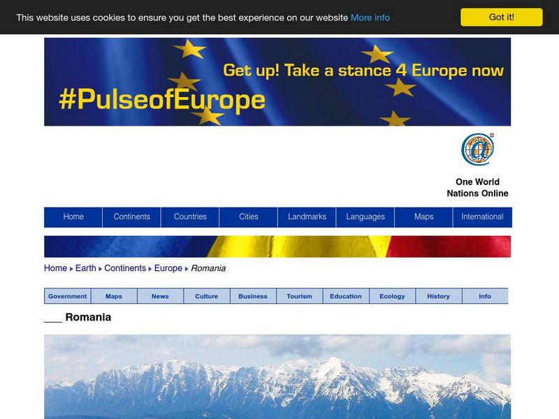
Nations Online: Romania
A great country profile that takes you on a virtual trip to Romania in Eastern Europe. An overview is given on its art, culture, people, environment, geography, history, economy, and government. There are numerous links available that...
Nations Online Project
Nations Online: Ukraine
A great country profile that takes you on a virtual trip to the Ukraine in Eastern Europe. An overview is given on its art, culture, people, environment, geography, history, economy, and government. There are numerous links available...
Encyclopedia of Earth
Encyclopedia of Earth: Jan Mayen (Norway)
The Encyclopedia of Earth provides an overview of Jan Mayen (Norway), including its geography, natural resources, history, government, economy, and much more. Maps and images are also included, along with sources used to create the entry.
BBC
Bbc: News: Collapse of the Ussr 10 Years On
Extensive information about the collapse of the USSR. Includes an interactive timeline from 1985 through 1991, an interactive map of the countries of the USSR with country profiles and timelines, eyewitness accounts of the collapse of...
Curated OER
European Library: European Libraries: Treasures: Map of Europe
Map of Europe, with countries delineated.
Curated OER
National Geographic: Europe: Poland
Welcome to Poland! Follow this interactive overview of the country's history, geography, people, government, nature, and more. A map andvideo are included. Adobe Flash Required.
Curated OER
National Geographic: Europe: Sweden
Welcome to Sweden! Follow this interactive overview of the country's history, geography, people, government, nature, and more. A map andvideo are included. Adobe Flash Required.
Other
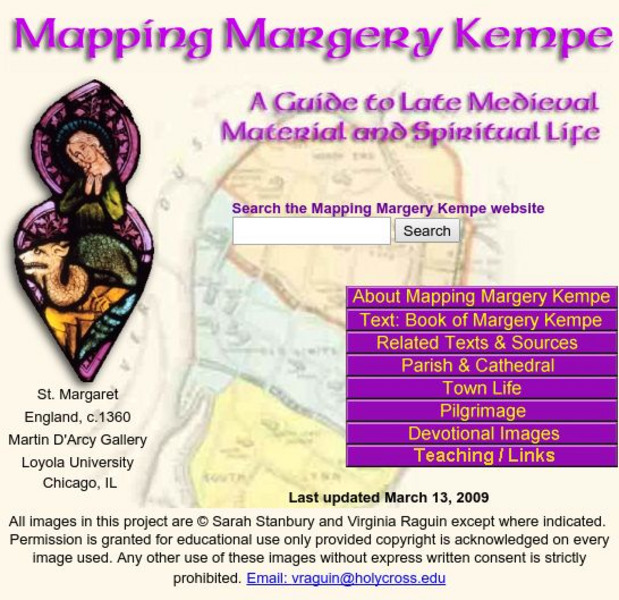
Mapping Margery Kempe: Guide to Late Medieval Material
Margery Kempe's spiritual biography is often called the first autobiography in English this provides access to the material culture of Kempe's 15th century world.
Ducksters
Ducksters: Geography for Kids: European Countries
Learn about Europe and the countries of Europe. Facts such as geography, flags, maps, exports, natural resources, and languages are on this website.
European Union
The European Parliament
Overview of the European Parliament, president, organization, purpose, maps of Europe.
National Geographic
National Geographic: Looking Back, Looking Forward
Lesson reviews what middle schoolers have learned in the unit on European cultural and physical landscape. Students compare maps, questions and ideas from the beginning of the unit and identify new questions for research.
Georgia Department of Education
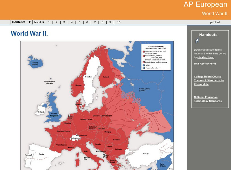
Ga Virtual Learning: Ap European: World War Ii
AP European History learning module on World War II traces the beginnings of the war from a dissillusioned Europe through the course of the war. Module includes assignments, enrichment activities, downloads, maps and assessment for...
Pamela Seed
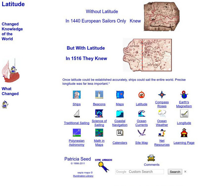
Rice: Latitude: The Art and Science of 15th Century Navigation
This is a great site to read about how navigation began in Europe and what tools were used. Make sure to read the segments on coastal navigation, maps, and ocean currents.
Other
Manitobia Life and Times: World War 1 .. The War at Home
All Canadians were greatly affected by the war in Europe. The situation at home, enlistments, conscription, alien immigrants, and the changes occurring after the war ended are each reviewed in detail.
Virginia Tech
Digital History Reader: 1917 Did the War Cause a Revolution?
A comprehensive unit evaluating what factors led to the Russian revolution in 1917. Understand the circumstances in Russia during WWI, timelines, maps, photos, writing assignments, and a bibliography for further studies.
Other
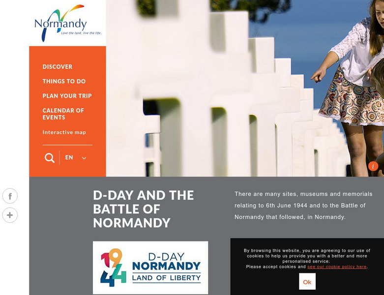
Normandie Tourisme: D Day and the Battle of Normandy
This official site provides a history of D-Day, photos, chronology, and excellent interactive maps.
Lonely Planet
Lonely Planet: France
This Lonely Planet map of France shows the rivers and mountain ranges as well as major cities. Clicking on a site labeled in color brings the reader to information about that site. Includes Corsica.
Other popular searches
- Maps of Europe
- Blank Maps of Europe
- Outline Maps of Europe
- Geography Maps of Europe
- Maps of Europe 1914
- Map of Europe
- Maps of Europe Political
- Maps of Europe Ppt
- Maps of Europe Pot
- Medieval Europe Outline Map
- Medieval Europe Map
- Maps of Europe 1919


