Hi, what do you want to do?
History Teacher
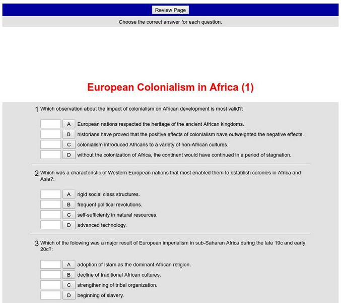
Historyteacher.net: Global Studies: European Colonialism in Africa Quiz (1)
Eleven-question multiple choice quiz is immediately scored and provides review of European colonialism in Africa in the 19th century.
History Teacher
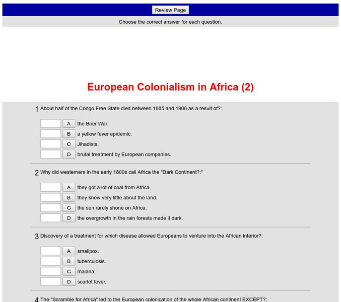
Historyteacher.net: Global Studies: European Colonialism in Africa Quiz (2)
11-question multiple choice quiz is immediately scored and covers European colonialism in Africa.
The Newberry Library
Newberry: Aphra Behn's Oroonoko: Slavery and Race in the Atlantic World
Newberry Library lesson using digitized primary source explores how Aphra Behn's novel, Oroonoko, compares to other representations of race, slavery, and colonialism in the seventeenth and eighteenth centuries. Questions to consider are...
Countries and Their Cultures
Countries and Their Cultures: Asians of Africa
The Asian population of Africa is a small but significant minority. Whereas there have been Asians, primarily merchants, who lived on the east coast of Africa for hundreds, if not thousands, of years, a great influx of Asians came to...
Northwestern University
Northwestern University: Collection of East African Photographs: 1860 1960
View a sample of a vast collection of photographs taken in East Africa between 1860 and 1960 that is a great resource for documenting all aspects of African life.
University of Iowa
University of Iowa: Arts and Life in Africa: Sierra Leone
A record of statistics concerning modern day Sierra Leone, up to 1998. Scroll down to history section to see a brief, but informative description of pre-colonial and post-colonial history for Sierra Leone.
Massachusetts Institute of Technology
Mit: Open Course Ware: European Imperialism: Nineteenth and Twentieth Centuries
Access university-level course materials compiled for course on European imperialism.
Other
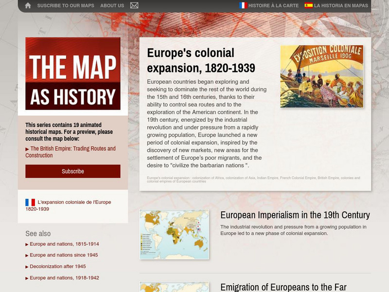
The Map as History: Europe's Colonial Expanision 1820 1939
European countries began exploring and seeking to dominate the rest of the world during the 15th and 16th centuries, thanks to their ability to control sea routes and to the discovery of the American continent. In the 19th century,...
Curated OER
Etc: Maps Etc: European Possessions of Africa, 1906
A map of Africa after the Berlin Conference of 1885, which established the European colonial territory claims on the continent. This map shows the Belgian, British, French, German, Italian, Portuguese, and Spanish claims, and the Turkish...
CommonLit
Common Lit: Book Pairings: "Things Fall Apart" by Chinua Achebe
Selected (12) reading passages (grades 6-11) to pair with "Things Fall Apart" by Chinua Achebe. In this classic novel, Okonkwo, a wealthy and respected member of the Umuofia clan, resists the forces of change brought to Africa by...
University of Minnesota
University of Minnesota: Immigration: Racial Encounters in Colonial America
Copper plate engravings offer one example of the racialization of colonized peoples. At the turn of the 17th century, most Europeans' visual conceptions of the Americas came from the engravings of the workshop of Flemish print-maker...
Curated OER
Etc: Maps Etc: Pre Colonial Central Africa, 1883
A map of central Africa in 1883, prior to the Berlin Conference when European powers established their colonial territories on the continent.
Curated OER
Etc: Maps Etc: Colonial Southern Africa and Madagascar , 1906
Map of Southern Africa and Madagascar in 1906 showing the European land claims established at the Berlin Conference of 1885 from approximately the Equator south to the Cape of Good Hope.
Curated OER
Etc: Maps Etc: Africa Before the Berlin Conference, 1884
This is an interesting map of Africa showing the continent before the Berlin Conference of 1885, when the most powerful countries in Europe at the time convened to make their territorial claims on Africa and establish their colonial...
Curated OER
Educational Technology Clearinghouse: Maps Etc: Pre Colonial Africa, 1872
A map of Africa showing the continent prior to the Berlin Conference of 1885, when the most powerful countries in Europe at the time convened to make their territorial claims on Africa and establish their colonial borders at the start of...
Curated OER
Educational Technology Clearinghouse: Maps Etc: Colonial Africa, 1902
A map of Africa in 1902 showing the European colonial possessions established at the Berlin Conference in 1885, and the Turkish or Ottoman possession of Tripoli. This map shows major cities, rivers, and mountain systems, canals and head...
Curated OER
Etc: Maps Etc: Africa Before the Berlin Conference, 1882
A map of Africa as it was known in 1882 before the Berlin Conference of 1885, when the most powerful countries in Europe at the time convened to make their territorial claims on Africa and establish their colonial borders at the start of...
Curated OER
Educational Technology Clearinghouse: Maps Etc: Central Africa, 1920
A map of central Africa in 1920 showing the European colonial claims at the time.
Curated OER
Educational Technology Clearinghouse: Maps Etc: Africa, 1897
Map of Africa in 1897 showing European colonial possessions and spheres of influence, and the independent territories at the time. The map is color-coded to show the areas controlled by the British, French, German, Turkish, Italian,...
Curated OER
Educational Technology Clearinghouse: Maps Etc: Colonial Africa, 1914
A map of Africa in 1914, showing the presence of European powers, including British, French, German, Portuguese, Spanish, Italian, and Belgian possessions. Native states, major cities and major railways are also shown. This map reflects...
Curated OER
Educational Technology Clearinghouse: Maps Etc: Pre Colonial Africa, 1858
Map of Africa in 1858, prior to the extensive European colonization of the continent established at the Berlin Conference of 1885. This map shows the European possessions of the Cape Colony, Natal, and Orange River Free State, and the...
Curated OER
Educational Technology Clearinghouse: Maps Etc: Colonial Africa, 1903
A political map of Africa, as it was in 1903, showing European land claims after the Berlin Conference in 1885. The lack of natural boundaries, that is, boundaries along rivers, mountains, or native lands, shows the European system of...
Curated OER
Educational Technology Clearinghouse: Maps Etc: Pre Colonial Africa, 1885
A map of the African continent prior to the Berlin Conference of 1885, when the most powerful countries in Europe at the time convened to make their territorial claims on Africa and establish their colonial borders at the start of the...
Curated OER
Educational Technology Clearinghouse: Maps Etc: Colonial Africa, 1899
Map of Africa in 1899 showing the colonial possessions of European powers on the continent established at the Berlin Conference of 1885. This map shows major cities and trade centers, railroad routes and canals, major river systems, and...


