Hi, what do you want to do?
George Mason University
Chnm: Differences Among Colonial Regions
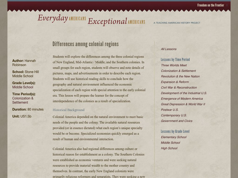
Learners will explore the differences among the three colonial regions of New England, Mid-Atlantic/Middle, and the Southern colonies. In small groups for each region, students will observe and note details of pictures, maps, and...
Colonial Williamsburg Foundation
Colonial Williamsburg: Numismatics: Coins and Currency in Colonial America
Valuable lessons in the history of Europeans' early exploration and settlement of America can be gained by following the money used in trade. Coins and Currency exhibition lets you examine evidence of Spanish, British, Dutch, French, and...
University of Georgia
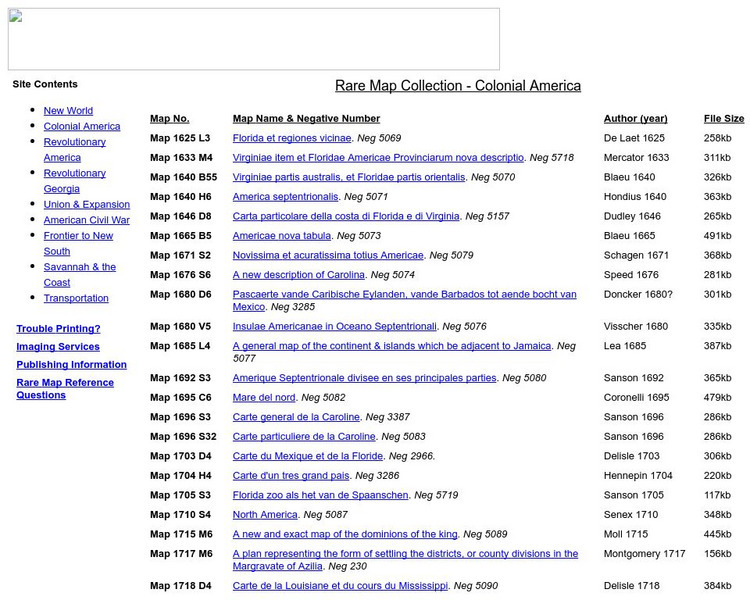
University of Georgia: Rare Map Collection: Colonial America
An extensive collection of original maps drawn during the colonial period of United States history.
Colonial Williamsburg Foundation
Colonial Williamsburg History
This page goes directly to the homepage of Colonial Williamsburg, which historically reenacts the life of early English settlement in Virginia.
Annenberg Foundation
Annenberg Learner: United States History Map: Colonists
Use these interactive maps to see and read about the colonization of the New World by several European nations. When you are finished looking at the maps, test your skills with the European Colonies Challenge.
OpenStax
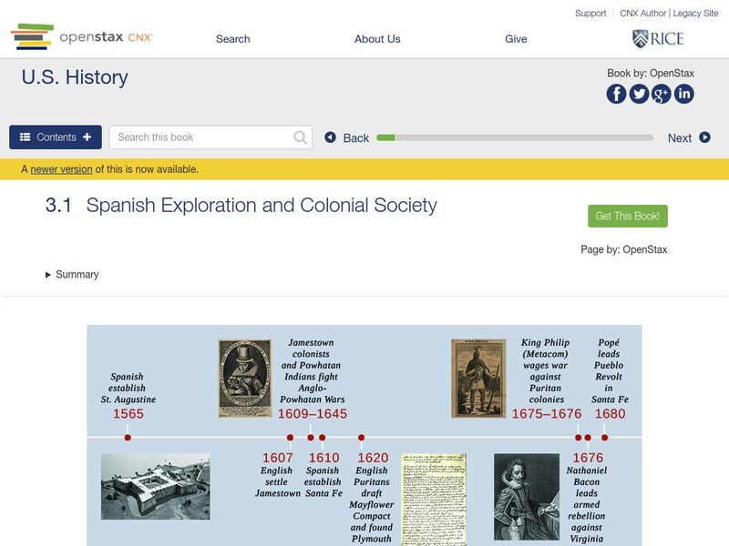
Open Stax: Colonial Societies 1500 1700: Spanish Exploration & Colonial Society
Examines the establishment of Spanish settlements in America, the differences between them, and the conflicts the Spanish had with other European interests and with the native peoples.
PBS
Pbs Learning Media: Primary Source Set: Cross Cultural Colonial Conflicts
A collection of primary sources which explores cross-cultural conflicts during the Colonial period of United States history.
Henry J. Sage
Sage American History: Introduction to American Colonial History
Introductory article on American Colonial History in which the author takes a look at the first European settlers who made the voyage to America and addresses the essential question of who they were as people and hence, why they made...
National Humanities Center
National Humanities Center: America in Class: Successful European Colonies in the New World
Lesson using primary source material on European attempts to establish colonies in the New World and why some were successful but most failed.
Mount Holyoke College
Mt. Holyoke: Extent of Colonialism
A chart of statistics concerning European colonialism towards the end of the imperialist era.
Library of Congress
Loc: Geography and Its Impact on Colonial Life
European settlement patterns were influenced by geographic conditions such as access to water, harbors, natural protection, arable land, natural resources and adequate growing season and rainfall. Examine a variety of primary sources to...
Colonial Williamsburg Foundation
Colonial Williamsburg: The Two Williamsburgs
This lesson plan on daily life in Colonial Williamsburg challenges students to compare and contrast the lives of the African and European populations.
Library of Congress
Loc: American Memory: Colonial Settlement 1600s 1763
The settlement of the colonies in America is the focus of this article. The course of events is divided into topics and time periods, making it easier to understand. Note is made of the effects to the already present Native Americans as...
Nebraska Studies
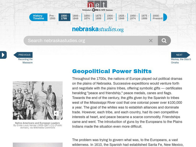
Nebraska Studies: Geopolitical Powershifts in Affect Life in Nebraska
As European colonists began settling in the Plains conflicts rose and ultimately led to the French and Indian War. These conflicts are outlined here.
Library of Congress
Loc: American Memory Timeline: Colonial Settlement,1600s 1763
Read about the colonization in the New World by many European countries. Hyperlinks to you to more specific topics.
Other
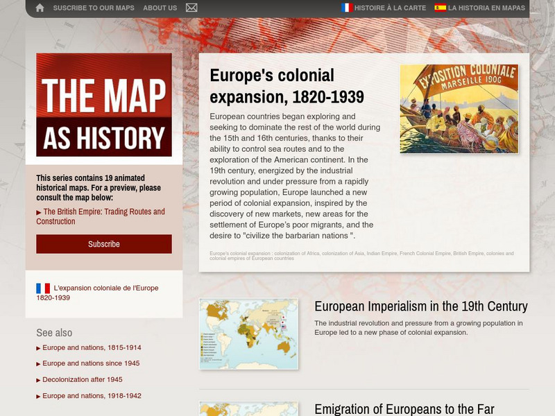
The Map as History: Europe's Colonial Expanision 1820 1939
European countries began exploring and seeking to dominate the rest of the world during the 15th and 16th centuries, thanks to their ability to control sea routes and to the discovery of the American continent. In the 19th century,...
Other
Colonial America: Native American Cultures
A brief look at the Native American cultures before Contact and some discussion of the interaction with Europeans after Columbus. From an on-line American History textbook.
University of Minnesota
University of Minnesota: Immigration: Racial Encounters in Colonial America
Copper plate engravings offer one example of the racialization of colonized peoples. At the turn of the 17th century, most Europeans' visual conceptions of the Americas came from the engravings of the workshop of Flemish print-maker...
Khan Academy
Khan Academy: Us History: 1491 1607: Spanish Conquistadores and Colonial Empire
The Spanish gained an early foothold in the colonies, quickly becoming the most powerful European power in the New World.
Massachusetts Institute of Technology
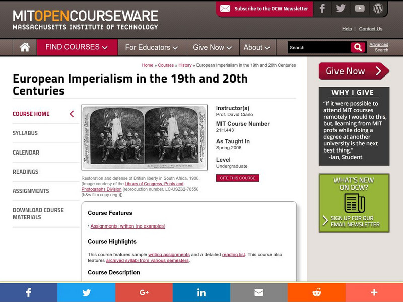
Mit: Open Course Ware: European Imperialism: Nineteenth and Twentieth Centuries
Access university-level course materials compiled for course on European imperialism.
Annenberg Foundation
Annenberg Learner: Colonial Settlement: Interactive Timeline
In this interactive timeline see how other European nations, along with the British, colonized America and how events in Europe impacted colonization.
Annenberg Foundation
Annenberg Learner: America's History in the Making: Colonial Designs [Pdf]
Scroll down through this unit for teacher facilitators to Appendix E and F to find maps of colonial settlement in eastern North America in 1600 and 1660. From Oregon Public Broadcasting.
Digital History
Digital History: Overview of the Colonial Era
The year 1492 marks a watershed in modern world history. Columbus's voyage of discovery inaugurated a series of developments that would have vast consequences for both the Old World and the New. It transformed the diets of both the...


