Hi, what do you want to do?
University of Virginia
Lewis and Clark: Maps of Exploration 1507 1814
An online resource from the University of Virginia Library. This exhibition includes maps, documents, and a great overview map collections from the first images of the New World to maps from the Lewis and Clark Expedition.
Other
Ed Hamilton: Statue of York of the Lewis and Clark Expedition
This 2003 article reports on the dedication of the sculpture of York, William Clark's slave, who was an important member of the 1803 Lewis and Clark expedition.
PBS
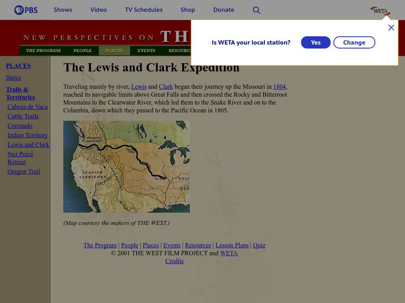
Pbs: The West: Lewis and Clark Expedition
Part of the PBS site, "The West," this link gives a general explanation of the Lewis and Clark expedition. Links to biographies.
Discovering Lewis & Clark
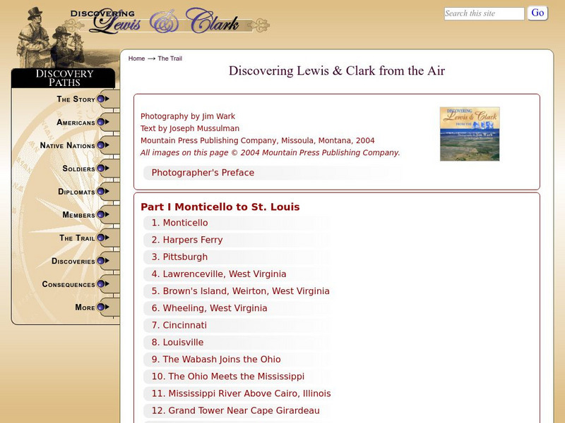
Discovering Lewis & Clark: Discovering Lewis & Clark From the Air
Provides images taken in the air of the Lewis and Clark trail. Select photos from the linked numerals on the maps, or from the titles listed sequentially beneath the maps for more detailed information on each stop.
Smithsonian Institution
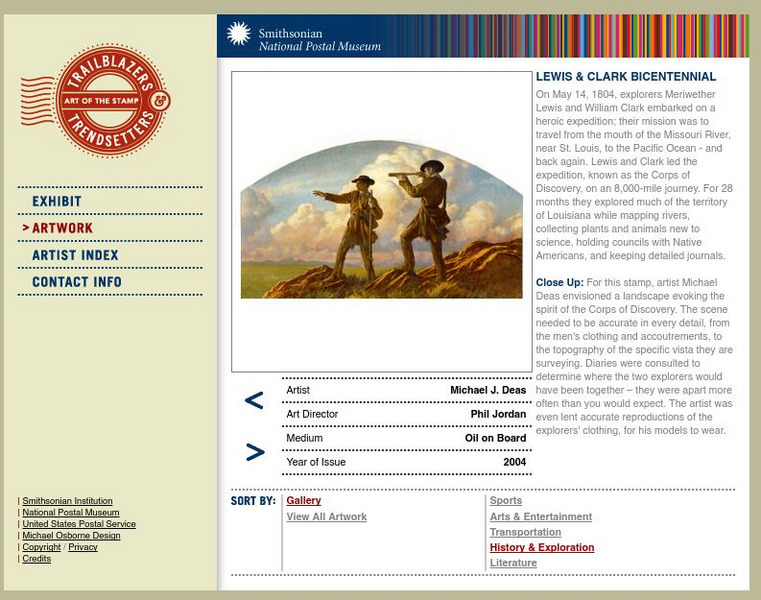
National Postal Museum: Art of the Stamp: Lewis and Clark Bicentennial
View the artwork for a U.S. postage stamp issued in 2004 to commemorate the bicentennial of the Lewis and Clark expedition. With a short, detailed passage on their journey and findings.
PBS
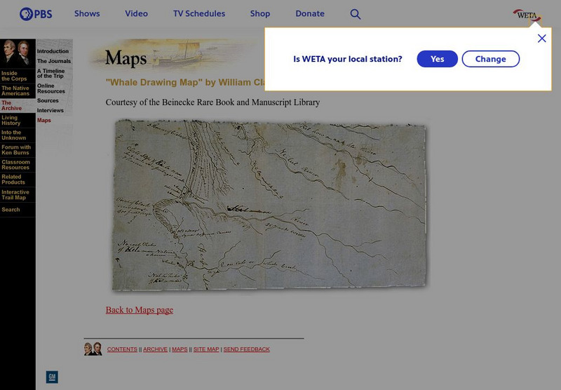
Pbs: Lewis and Clark: "Whale Drawing Map" by William Clark
See this map drawn by William Clark of where the men from the Corps of Discovery found the whale which the Tillamook Indians told them about. From PBS.
Discovering Lewis & Clark
Discovering Lewis & Clark: Through the Valleys of Lewis's River
Features a key map of Lewis's River Valleys. Click on a key point on the map for in-depth detail.
Discovering Lewis & Clark
Discovering Lewis & Clark: Travelers' Rest to Lolo Pass
Features Clark's sketch map of Travelers' Rest to Lolo Pass, Montana.
Discovering Lewis & Clark
Discovering Lewis & Clark: Mrc Map of the Big Bend (1880S)
Presents the Missouri River Commission's map of the Big Bend from the 1880s.
Virginia History Series
Virginia History Series: Virginia Antebellum (1800 1860) [Pdf]
From 1800-1860, America went through rapid growth and development. View this slideshow to see pictures, charts, maps,primary source documents and a detailed timeline of Virginia during the Antebellum Era.
Curated OER
Scholastic: Lewis and Clark
An interactive site that has students follow the Lewis and Clark's expedition. As they travel west, they are able to collect objects on their journey and put them in their specimen box. They also take notes on their specimens so they can...
Smithsonian Institution
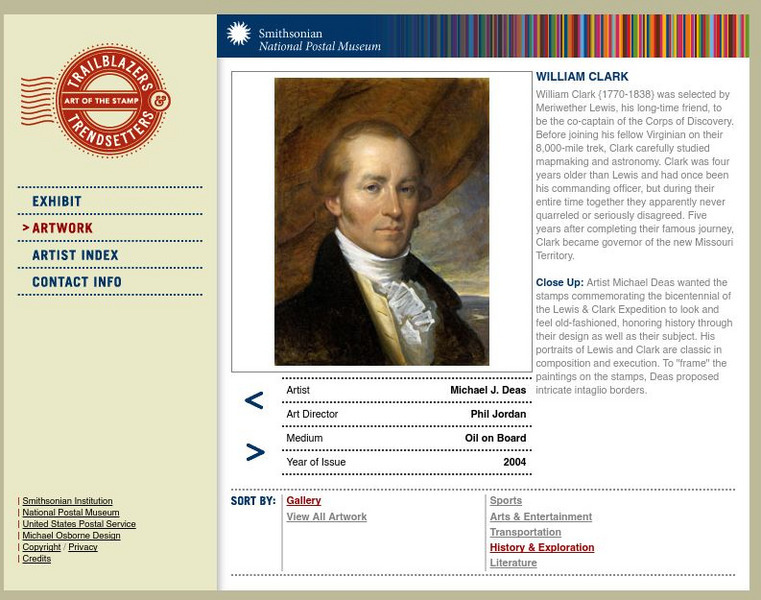
National Postal Museum: Art of the Stamp: William Clark
View the artwork for a U.S. postage stamp issued in 2004 to commemorate William Clark. With a short passage on his life and famous 8,000 mile trek out West with Meriwether Lewis.
University of Oregon
Mapping History: American History
Interactive and animated maps and timelines of historical events and time periods in American history from pre-European times until post-World War II.
Curated OER
Wikipedia: National Historic Landmarks in Montana: Three Forks of the Missouri
Captain William Clark of the Lewis and Clark Expedition, first European-American to visit this spot, concluded the Missouri River originated where the Three Forks joined.
Curated OER
Educational Technology Clearinghouse: Clip Art Etc: Meriwether Lewis
Meriwether Lewis (August 18, 1774-October 11, 1809) was an American explorer, soldier, and public administrator, best known for his role as the leader of the Lewis and Clark Expedition.
Curated OER
Educational Technology Clearinghouse: Maps Etc: United States, 1845
A map of the United States in 1845 after the Louisiana Purchase, the Lewis and Clark Expedition, and the annexation of Texas. The map is color-coded to show the States and territory of the United States west to the Pacific with the dates...
Curated OER
Wikipedia: National Historic Landmarks in Montana: Pompey's Pillar
The massive natural block of sandstone was a major landmark on the Lewis and Clark Expedition. Clark's signature is carved on its surface.
Curated OER
Wikipedia: National Historic Landmarks in Idaho: Weippe Prairie
Meadow of camas, whose roots were basic food for Nez Perce, where the Lewis and Clark Expedition emerged from Lolo Trail.
Curated OER
Wikipedia: National Historic Landmarks in Iowa: Sergeant Floyd Monument
Monument to the only member of the 1805 Lewis and Clark expedition who died during the trip. First declared U.S. National Historic Landmark.
Curated OER
Wikipedia: National Historic Landmarks in Montana: Travelers Rest
Campsite used during the westward passage of the Lewis and Clark Expedition in 1805 as the party prepared to cross the Bitterroot Mountains, and again during return passage in 1806.
Curated OER
Wikipedia: National Historic Landmarks in Missouri: Arrow Rock
The crossing of the Missouri River at Arrow Rock, which was recorded in the 1700s, played an important role in early explorations, such as the Lewis and Clark expedition in 1804, that led to the opening of the American West. A ferry was...
Curated OER
Educational Technology Clearinghouse: Clip Art Etc: Thomas Jefferson
Thomas Jefferson (April 13, 1743 - July 4, 1826) was the third President of the United States (1801-1809), the principal author of the Declaration of Independence (1776), and one of the most influential Founding Fathers for his promotion...


