Hi, what do you want to do?
Curated OER
Did You Feel That? Earthquake Data Chart
Students plot earthquakes on the world map using coordinates of longitude and latitude. They designate the earthquakes magnitude with a symbol which they include in the map key.
Curated OER
In The Shadow of Angkor
Young scholars are introduced to basic historic and geographic facts about Cambodia. They understand the spiritual component of Cambodia's art. They identify Cambodia on a map of the world. They construct a graphic representation of a...
Curated OER
Where Do I Live?
Learners gain a better understanding of the population of the region they live in by comparing U.S. census data on the internet.
Curated OER
Exploring Maps: Navigation
Students engage in a lesson that is concerned with the concept of navigation while research is conducted with the use of a variety of resources. The information is used to expand their perspective of the applications for navigation. The...
Curated OER
Deep Blue: Exploring the Deep Ocean
Students examine landforms. In this social studies lesson, students bounce a beach ball around in order to discover that seventy percent of the Earth is covered in water. Students
Curated OER
Compass Building Instructions
Young scholars build their own compass following a given procedure. In this technology lesson, students explain how a compass is used in navigation. They trace the history of its development.
Curated OER
Class Letter of Introduction
Students follow guidelines to collectively draft a class letter that introduces their school to the rest of the participants in an online science experiment about water quality. They post the letter online as part of the larger unit.
Curated OER
Science Test B-Grade 4
In this grade 4 science test worksheet, 4th graders complete a 30 question multiple choice quiz covering a variety of grade 4 concepts.
Curated OER
Geographics in Arkansas
Third graders discuss where Arkansas is located on the United States map. They use geographic tools to participate in activities.
Curated OER
Globe Lesson 4 - Intermediate Directions
Students explore the concept of intermediate directions. In this geography skills lesson, students use map skills in order to identify intermediate directions as they complete a map activity.
American Geosciences Institute
American Geosciences Institute: Earth Science Week: Places on the Planet: Latitude and Longitude
Students learn how citizen scientists involved in the Geological Society of America's EarthCaching project use GPS technology and latitude and longitude coordinates to find special places on the Earth.
ABCya
Ab Cya: Latitude and Longitude Treasure Hunt
Use the longitude and latitude clues to find the treasures on the map. The more treasures you find the more challenging it will be to find them.
Diffen
Diffen: Latitude vs. Longitude
Find out about the basics of latitude and longitude with this comparison chart. Then read the article and watch the video to dig a little deeper into the topic.
CK-12 Foundation
Ck 12: Earth Science: Location and Direction
[Free Registration/Login may be required to access all resource tools.] Using latitude and longitude to find a location.
Quia
Quia: Noise Pollution?
This quiz will determine whether you can use latitude and longitude properly to find absolute locations on the earth.
PBS
Pbs Nova: Find Your Longitude
Lost at sea with only your sextant? Use your knowledge of longitude to find your place. The non-shockwave interactive activity makes the concept of longitude concrete.
PBS
Pbs Nova Online: Lost at Sea the Search for Longitude
"The quest for a reliable method to find your way at sea was one of the thorniest problems of the 1700s." Find out about the search for longitude at this NOVA site. Includes interactive Shockwave game, learning activities and more.
Texas Instruments
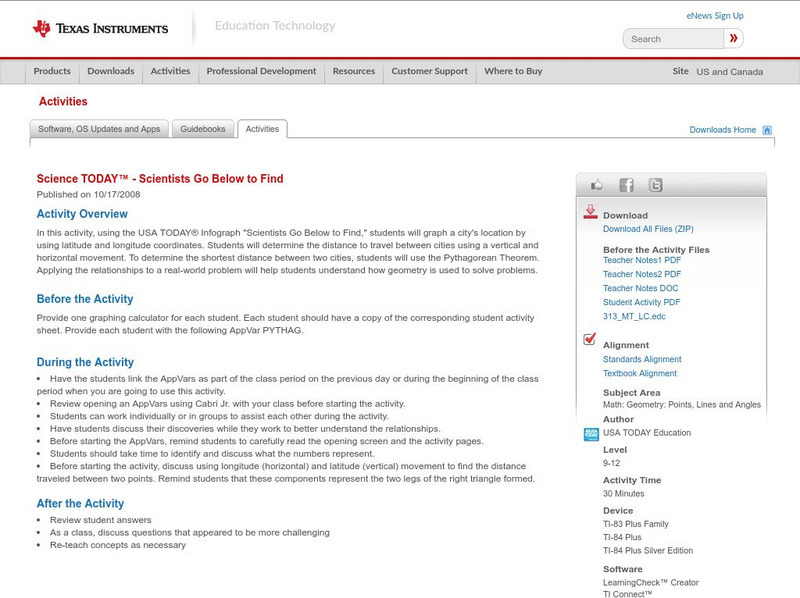
Texas Instruments: Science Today Scientists Go Below to Find
In this activity, using the USA TODAY Infograph "Scientists go below to find," students will graph a city's location by using latitude and longitude coordinates. Students will determine the distance to travel between cities using a...
CK-12 Foundation
Ck 12: Earth Science: Location on the Earth
[Free Registration/Login may be required to access all resource tools.] Using latitude and longitude to find a location.
Annenberg Foundation
Annenberg Learner: Journey North: Judy Brophy: The World's Biggest Address Book
Great slideshow to learn about latitude and longitude. There are many great discussion questions as well as maps to enhance your learning.
TeachEngineering
Teach Engineering: Gps Scavenger Hunt
Students go on a GPS scavenger hunt. They use GPS receivers to find designated waypoints and report back on what they found. They compute distances between waypoints based on the latitude and longitude, and compare with the distance the...
NOAA
Noaa: Solar Calculators
This resource allows users to find sunset/sunrise calculations based on latitude and longitude for various locations. Provides a glossary of related terms and an explanation of their calculations.
TeachEngineering
Teach Engineering: State Your Position
To navigate, you must know roughly where you stand relative to your designation, so you can head in the right direction. In locations where landmarks are not available to help navigate (in deserts, on seas), objects in the sky are the...
PBS
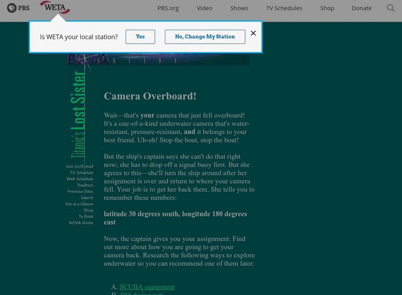
Pbs Teachers: Titanic's Lost Sister: Camera Overboard!
Learn about different diving equipment in order to determine which would be most useful in recovering a sunken object and exploring underwater. Find a location on a globe or map using latitude and longitude coordinates.


