Curated OER
Water Quality Monitoring
Students comprehend the four parameters of water quality. They perform tests for salinity, dissolved oxygen, pH and clarity or turbidity. Students comprehend why scientists and environmental managers monitor water uality and aquatic...
Curated OER
World Map and Globe
Students explore symbols. In this beginning map lesson, students identify common picture symbols. Students place post-it notes with symbols drawn on them in the appropriate place on a map.
Curated OER
Appreciating The World By Learning About Landforms
Children can learn about the Earth's landforms and develop a greater appreciation of our world.
Khan Academy
Khan Academy: Find Surface Area by Adding Areas of Faces
Determine the expression that finds surface area of a 3D shape by adding the area of each face. Students receive immediate feedback and have the opportunity to try questions repeatedly, watch a video or receive hints.
University of Regina (Canada)
University of Regina: Math Central: Surface Area to Volume Ratio
Students will investigate the relationship between surface area and volume and their application to the inner workings of real life organisms.
Other
Calculator.net: Surface Area Calculator
Use these calculator tools to find the surface area, in your choice of units, of a sphere, cone, cube, cylinder, rectangular prism, capsule, ball cap, conical frustum, ellipsoid, or square pyramid. Includes a reference section listing...
Texas Education Agency
Texas Gateway: Finding Lateral and Total Surface Area
Given concrete models and nets (2-dimensional models) of prisms, pyramids, and cylinders, the student will find and determine the lateral and total surface area.
Texas Education Agency
Texas Gateway: Determining the Surface Area and Volume of Composite Figures
Given a problem involving composite figures made from prisms, pyramids, spheres, cones, and/or cylinders, the student will find the surface area and volume of the composite figure.
Texas Education Agency
Texas Gateway: Determining the Surface Area and Volume of Spheres
Given a problem involving spheres, the student will find the surface area and volume.
Texas Education Agency
Texas Gateway: Determining the Surface Area of Cones and Cylinders
Given a problem involving cones or cylinders, the student will find the surface area using appropriate units of measure.
Texas Education Agency
Texas Gateway: Determining the Surface Area of Prisms and Pyramids
Given a problem involving prisms or pyramids, the student will find the surface area using appropriate units of measure.
McGraw Hill
Glencoe: Self Check Quizzes 3: Surface Area of Prisms and Cylinders
Use Glencoe's Math Course 3 randomly generated self-checking quiz to test your knowledge of how to find the surface area of prisms and cylinders. Each question has a "Hint" link to help. Choose the correct answer for each problem. At the...
McGraw Hill
Glencoe: Self Check Quizzes 1 Surface Area of Rectanglar Prisms
Use Glencoe's randomly generated self-checking quiz to test your knowledge of finding the surface area of rectangular prisms. Each question has a "Hint" link to help. Choose the correct answer for each problem. At the bottom of the page...
McGraw Hill
Glencoe: Self Check Quizzes 2 Surface Area of Cylinders
Use Glencoe's Math Course 2 randomly generated self-checking quiz to test your knowledge of finding the surface area of a cylinder. Each question has a "Hint" link to help. Choose the correct answer for each problem. At the bottom of the...
Khan Academy
Khan Academy: Surface Area Using Nets
Practice using the net of a 3D figure to find surface area. Students receive immediate feedback and have the opportunity to try questions repeatedly, watch a video or receive hints.
Better Lesson
Better Lesson: Nets and Surface Area
A conceptual understanding of finding surface area using nets instead of a formula.
Houghton Mifflin Harcourt
Holt, Rinehart and Winston: Homework Help Independent Practice: Surface Area of Prisms and Cylinders
Get independent practice finding the surface area of prisms and cylinders. Each incorrect response gets a text box explanation and another try. Correct responses are confirmed.
Sophia Learning
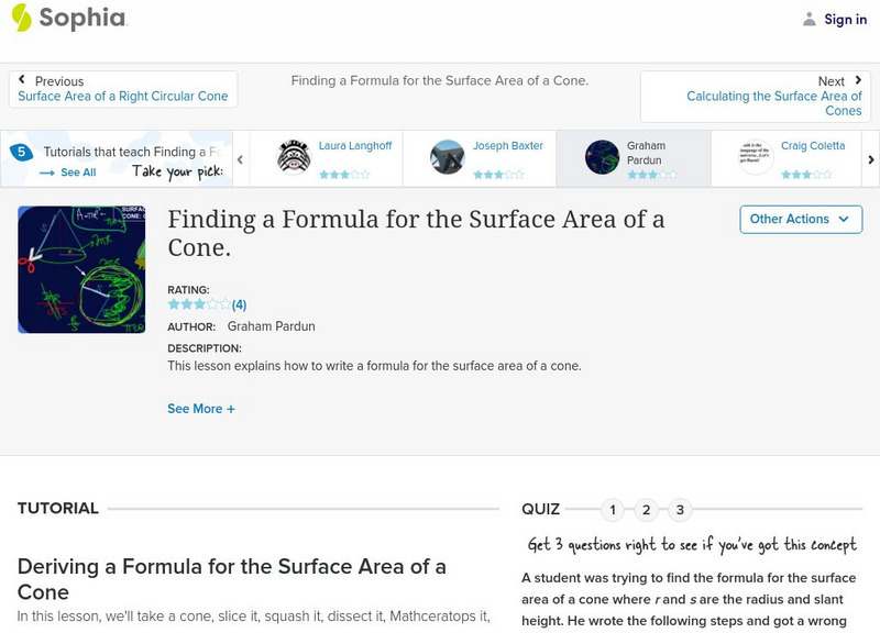
Sophia: Finding a Formula for the Surface Area of a Cone
This video tutorial demonstrates how to find the formula for the surface area of a cone.
Khan Academy
Khan Academy: Surface Area
Practice finding the surface area of 3D objects. Students receive immediate feedback and have the opportunity to try questions repeatedly, watch a video or receive hints.
CK-12 Foundation
Ck 12: Geometry: Surface Area of Cylinders
[Free Registration/Login may be required to access all resource tools.] Use a formula and given information to find the surface area of different cylinders.
CK-12 Foundation
Ck 12: Geometry: Surface Area of Triangular Prisms
[Free Registration/Login may be required to access all resource tools.] Use formulas to find the surface area of triangular prisms.
Khan Academy
Khan Academy: Volume and Surface Area Word Problems
Practice finding volume and surface area in these word problems.
Khan Academy
Khan Academy: Surface Area Using Nets
In this exercise, students practice finding the surface area using nets. Students receive immediate feedback and have the opportunity to get hints and try questions repeatedly.
CK-12 Foundation
Ck 12: Geometry: Surface Area and Volume of Cones
[Free Registration/Login may be required to access all resource tools.] Find the surface area of cones by using formuals


