Smithsonian Institution
National Museum of the American Indian: Infinity of Nations
Exhibtion of artwork and artifacts from geographic regions across the Americas highlights the historic significance and diversity of material culture produced by Native Americans, past to present. With examples of textiles, ceramics,...
Other
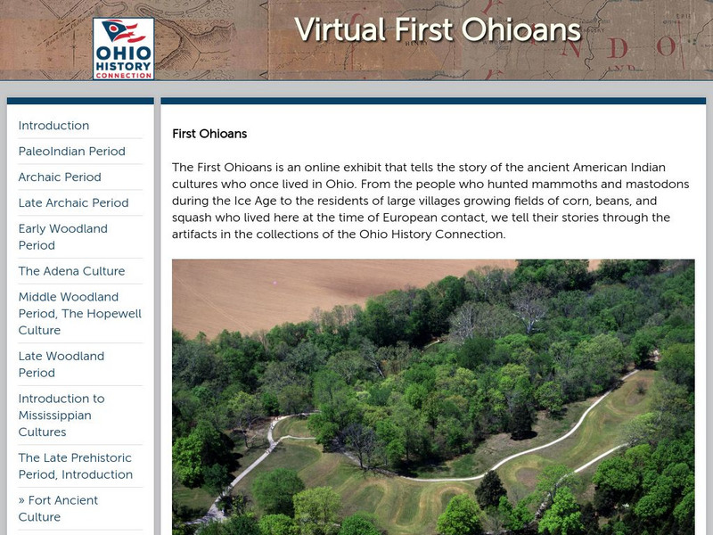
Ohio History: Virtual First Ohioans
This award-winning resource from the Ohio Historical Society presents Ohio's first cultures: PaleoIndian, Archaic, Woodland, Mississippian, and Late Prehistoric Period cultures. Click on each period for additional information and great...
Other
Calgary Board Education: Our First Nations: Blackfoot
Educators will find this a useful research model for their students. Each slide addresses a different aspect of the Blackfoot tribe's daily life and culture.
Texas A&M University
Center for the Study of the First Americans: Cactus Hill Site, Virginia
Pictures of the Cactus Hill paleo-Indian site in Virginia show the site itself and artifacts from the pre-Clovis and Clovis periods of time. There is no commentary about the pictures other than a caption.
Northern Arizona University
Overview of Federal Indian Policy [Pdf]
Since the United States became a nation, federal Indian policy has seen many significant changes. Some of the shifts in policy may, at first glance, seem rather contradictory. However, when considering the underlying assumptions and when...
Other
Pre Contact Culture Areas (Map)
This excellent map shows where different tribes were before first contact, links to related information.
270 To Win
270towin: 1924 Presidential Election
Provides detailed electoral facts for the presidential election of 1924 won by Calvin Coolidge, the first presidential election in which all American Indians were citizens and thus allowed to vote.
Curated OER
Hesquiaht Woman From the Central Nootka Tribe, British Columbia, 1916
View aspects of the history of the aboriginal peoples of Canada through photographs. Culture, ways of life, and struggles can be examined in this database of primary source images (most from the late nineteenth and early twentieth century).
Curated OER
Photograph of an Aboriginal Man Standing in a Graveyard, Fort Qu
View aspects of the history of the aboriginal peoples of Canada through photographs. Culture, ways of life, and struggles can be examined in this database of primary source images (most from the late nineteenth and early twentieth century).
Curated OER
Man, Kneeling, in Traditional Clothing Portraying a 17th Century Aboriginal Man
View aspects of the history of the aboriginal peoples of Canada through photographs. Culture, ways of life, and struggles can be examined in this database of primary source images (most from the late nineteenth and early twentieth century).
Curated OER
Photograph of a Man Paddling a Kayak Off the Coast of Greenland, 1889
View aspects of the history of the aboriginal peoples of Canada through photographs. Culture, ways of life, and struggles can be examined in this database of primary source images (most from the late nineteenth and early twentieth century).
Curated OER
Educational Technology Clearinghouse: Clip Art Etc: Abraham Whipple
Abraham Whipple (26 September 1733 - 27 May 1819) was an American revolutionary naval commander. Whipple was born near Providence, Rhode Island and chose to be a seafarer early in his life. He embarked upon a career in the lucrative West...
Curated OER
Wikipedia: National Historic Landmarks in Alabama: Fort Mitchell Site
Fort Mitchell represents three periods of interaction with Native Americans. The first period is the martial aspect of Manifest Destiny, when the Creek Indian Nation was defeated and forced to concede land.; the second represents the...
Curated OER
Educational Technology Clearinghouse: Maps Etc: The State of Ohio, January 1804
After the French and Indian War, France ceded control of the Northwest region including Ohio to Great Britain. With American independence, Ohio became a part of the Northwest Territory, the first organized land addition to the original...
Curated OER
Educational Technology Clearinghouse: Maps Etc: The New West, 1889 1912
A map of the western United States showing the rapid growth of the New West between 1885 and 1912 during the presidencies from Benjamin Harrison to Howard Taft. The map is color-coded to show the States admitted to the Union before the...


