Sophia Learning
Sophia: Following Directions: Tutorial
In this slideshow tutorial, students will review basics regarding the following of directions on an assessment and/or reading comprehension test. Strategies related to looking for particular words and phrases in a testing situation are...
Khan Academy
Khan Academy: Art History: Map of Ancient Near East
A short introduction to the ancient Near East, followed by sections providing an in-depth coverage. Includes links to additional information.
Sophia Learning
Sophia: Evaluating Digital Information: Tutorial
In this slideshow tutorial, students will review how to evaluate digital sources. During the digital evaluation process, students are directed to analyze the following: authority, accuracy, objectivity, and currency. After the tutorial,...
National Humanities Center
National Humanities Center: America in Class: America in the 1920s: Modern City in Art
The National Humanities Center presents collections of primary resources compatible with the Common Core State Standards - historical documents, literary texts, and works of art - thematically organized with notes and discussion...
Incorporated Research Institutions for Seismology
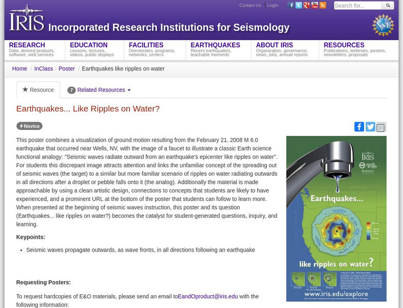
Iris: Earthquakes, Like Ripples on Water?
See how seismic waves propagate outwards, as wave fronts, in all directions following an earthquake.
Khan Academy
Khan Academy: Art History: Map of Mesopotamia
A short introduction to the ancient Near East, followed by sections providing an in-depth coverage. Includes links to additional information.
University of Cambridge
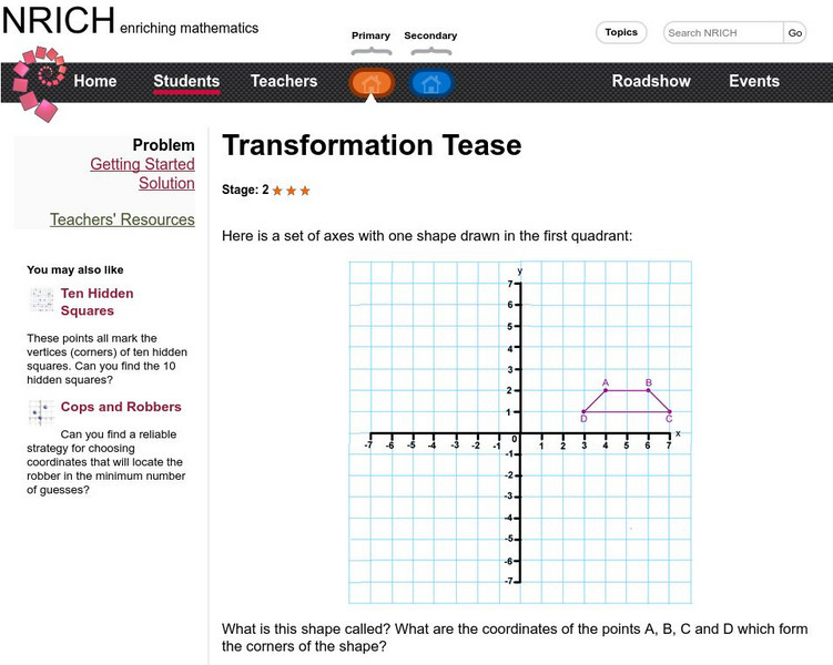
University of Cambridge: Nrich: Transformation Tease
Follow the directions at this one page website. You will get lots of practice plotting points on the coordinate grid and experience with transformational geometry.
Curated OER
Etc: Settlements of the Saxons and Angles, Ad 449 626
A map of Scotland, England and Wales showing the settlements of the Saxons and Angles from the landing of Hengist and Horsa at Ebbsfleet on the shores of the Isle of Thanet (AD 449) to the Saxon Heptarchy (AD 626). "By these invasions...
Curated OER
Etc: Maps Etc: Physical Map of South America, 1898
A map from 1898 of South America showing the general physical features including mountain systems, prominent peaks and volcanoes, river and lake systems, plateaus, and coastal features. The map includes an insert of the Isthmus of...


