Curated OER
Science Kids: Science Images: Map of Samoa
A map featuring Samoa and its neighboring countries.
Curated OER
Association of Religion Data Archives: National Profiles: American Samoa
Learn about; religious demographics, religious freedom, socio-economic indicators, general facts, and history, in this country overview of American Samoa from the Association of Religious Data Archives at Pennsylvania State University.
Curated OER
Association of Religion Data Archives: National Profiles: Samoa
Learn about religion on Samoa, in this Association of Religion Data Archives country profile; includes general facts, history, and religious data.
Ministry of Education, Sports & Culture (Samoa) Government
Mesc: Samoa School Net: Nouns
A quiz consisting of 30 questions where you must pick the noun that makes sense in the sentence. At the end, you receive a detailed summary of your results.
Ministry of Education, Sports & Culture (Samoa) Government
Mesc: Samoa School Net: Tenses
A 25-question quiz on the verb tenses, where you choose which verb or verb phrase belongs in the sentence you are given. At the end of the quiz, you receive a detailed summary of your results.
Ministry of Education, Sports & Culture (Samoa) Government
Mesc: Samoa School Net: Personal Pronouns He She It
A 25-question quiz on the pronouns he, she, and it, where you choose which is missing from the sentence you are given. At the end of the quiz, you receive a detailed summary of your results. (The video it mentions did not appear.)
Scholastic
Scholastic: 2010 Census: For Kids
Play these fun learning games to uncover facts about the United States you might have never known or download a great story/coloring book for students to learn more about the U.S. Census. Educational resources are also available for U.S....
Other
Asia Society: Policy
A comprehensive storehouse of all types of information on Asia, both current and past: maps and statistics, Asian food, travel guides, photographs, articles, timelines, and more. Asia Source is the work of the Asia Society, a national...
CPALMS
Florida State University Cpalms: Florida Students: Territorial Behaviors
In this tutorial, students learn about the history of American acquisition of new territories including those that became states and those in other parts of the world. America's involvement with the Panama Canal is also covered. A PDF...
Other
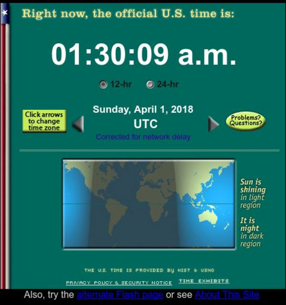
The Official U. S. Time
Get the official U.S. time from the official U.S. timekeepers, the National Institute of Standards and Technology (NIST), and its military counterpart, the U.S. Naval Observatory. Java needs to be enabled to see the timeclocks. There are...
Science Education Resource Center at Carleton College
Serc: Hotspot Lesson: Samoan Hotspot
Using the Hotspot Theory and Plate Velocities, students make comparisons between Hawaii and Samoa in an attempt to determine the volcanic origin of Samoa.
USA Today
Usa Today: Weather: u.s. Weather Forecasts
Weather forecasts for all 50 states, Puerto Rico, the US Virgin Islands, and the islands of American Samoa and Guam. These enable students to do comparison studies and/or receive current weather forecasts.
Digital Dialects
Digital Dialects: Samoan Language
Looking for a new challenge? Try learning Samoan. Find common phrases, greetings, and vocabulary then play games for practice.
University of Texas at Austin
Perry Castaneda Library Map Collection: u.s. Maps
At this site find any type of map on the U.S. and any of its states here. Great site for teachers to print out maps to use in the classroom.
Countries and Their Cultures
Countries and Their Cultures: Multicultural America: Samoan Americans
Provides an overview of the traditional culture and lifestyle of Samoan Americans. (Note: Content is not the most current.)
Countries and Their Cultures
Countries and Their Cultures: Samoans
Provides an overview of the traditional culture and lifestyles of the Samoans. Gives basic facts about location, language, folklore, foods, social customs, family life, education, religion, pastimes, societal challenges, etc. (Note:...
Curated OER
Educational Technology Clearinghouse: Maps Etc: South America, 1902
A map from 1902 of South America showing the national boundaries at the time. The map shows capitals, major cities, ports, railroads, canals, rivers, and coastal features. Railroads appear as red lines, with important trunk lines shown...
Curated OER
Educational Technology Clearinghouse: Maps Etc: Philippine Islands, 1902
A map from 1902 of the Philippine Islands, showing the provinces at the time, major cities and ports, railroads on Luzon, rivers, terrain, and coastal features. The divisions of Luzon are numbered and listed on the map. Inset maps detail...
Curated OER
Etc: Maps Etc: Economic and Commercial Activity in the Philippine Islands, 1920
A map from 1920 of the Philippine Islands showing the principal commercial products in the region, with the products named in red. The map shows major cities and chief seaports, railroads, navigable rivers, islands and coastal features....
Curated OER
Etc: Territorial Growth of the United States, 1783 1900
A map from 1911 of the United States showing the territorial acquisitions from the original states and territory established in 1783 to the Tripartite Convention of 1899 in which Germany and the United States divided the Samoan...


