Hi, what do you want to do?
Center for Educational Technologies
Wheeling Jesuit University: Arctic Tundra Biome
Provides text and pictures on the arctic tundra, its animals, plants, and their adaptations.
Mocomi & Anibrain Digital Technologies
Mocomi: Major Biomes of the World
Covers the major types of biomes: tropical rain forest, arctic tundra, coniferous forest, deciduous forest, desert, grasslands, and mountains.
Discovery Education
Discovery Education: Habitats of the World
This site has a instructional activity to use to start a unit on biomes and animal habitats. This plan incorporates grasslands, temperate forests, tropical rainforests, deserts, polar ice regions, and tidepools.
Science Museum of Minnesota
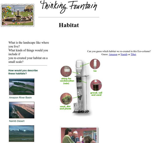
Science Museum of Minnesota: Thinking Fountain: Habitat
Explore the basics of a few habitats and then create an ecocolumn--a simulated cross-section of a biome such as a rain forest--with your own environment.
Encyclopedia of Earth
Encyclopedia of Earth: Biodiversity
A large collection of articles, news items, photos, slideshows, animations, and scientific reports, all related to biodiversity. Many articles on different ecosystems, e.g., deserts, grasslands, forests, etc. An excellent resource for...
Utah State Office of Education
Utah Science: What Do You Mean, We Are Different?
Across the state of Utah one will observe a variety of environments such as wetlands, desert, and forest. Here are several activities highlighting the many ecosystems found within one state.
Curated OER
Etc: Maps Etc: Vegetation of North America, 1916
A map from 1916 of North America, Central America, Greenland, and the Caribbean to Puerto Rico showing the general distribution of vegetation types in the region. The map is color-coded to show natural vegetation in areas of ice desert,...
Curated OER
Educational Technology Clearinghouse: Maps Etc: Vegetation Map of Europe, 1916
A map of Europe showing areas of different types of natural vegetation including tundra and alpine flora, coniferous forests, broadleaf forests and meadows, temperate grasslands, deserts, and oases.
Curated OER
Educational Technology Clearinghouse: Maps Etc: Vegetation Regions, 1898
A base map from 1898 of North America, Central America, Greenland, and the Caribbean to Puerto Rico showing the general distribution of vegetation types in the region, including areas of deserts, tundras, and ice fields, areas of grassy...
Curated OER
Etc: Maps Etc: North American Vegetation Regions, 1901
A map from 1901 of North America, Central America, Greenland, and the Caribbean to Puerto Rico showing the general vegetation regions. The map shows areas of deserts, tundras, and ice fields, areas of grassy lands, areas of open forests,...
Curated OER
Educational Technology Clearinghouse: Maps Etc: Vegetation Map of Africa, 1915
A map from 1915 of Africa and Madagascar showing the general vegetation regions. The map is color-coded to show areas of forests, grasslands, steppes, poor steppes, and deserts.
Curated OER
Educational Technology Clearinghouse: Maps Etc: Land Regions of Africa, 1920
A color relief map of the African continent showing regional vegetation and terrain including lands below sea level, grasslands, temperate and tropical forests, oases, semideserts, and deserts and barren mountain slopes. The map also...
Curated OER
Etc: Maps Etc: Agricultural Regions of Asia, 1899
A map of Asia from 1899 showing the primary agricultural production regions of Asia. This map is keyed to show the Northern Plain - region of forests (I), Central Asia - steppes and deserts (II), Mediterranean region - fruits, cereals,...
National Earth Science Teachers Association
Windows to the Universe: Climate Changes With Latitude
A map showing the division of the world into eight biomes based on different climate types around the world. There are links to more information about each biome.
Smithsonian Institution
National Museum of Natural History: American Mammals: Southwestern Myotis
Southwestern myotis live in a variety of southwestern mountain habitats, from desert grasslands up into pine and mixed coniferous forest in the United States, and in desert and grassland in Mexico. These bats and two other myotis...
Smithsonian Institution
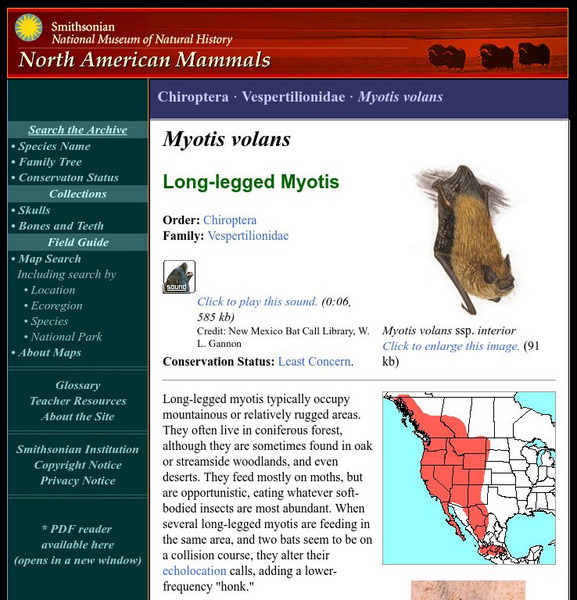
National Museum of Natural History: American Mammals: Long Legged Myotis
Long-legged myotis typically occupy mountainous or relatively rugged areas. They often live in coniferous forests, although they are sometimes found in oak or streamside woodlands, and even deserts. Learn more about the Myotis volans,...
Smithsonian Institution
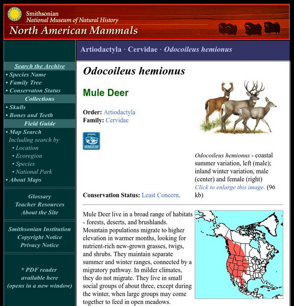
National Museum of Natural History: American Mammals: Mule Deer
Mule Deer live in a broad range of habitats - forests, deserts, and brushlands. Mountain populations migrate to higher elevation in warmer months, looking for nutrient-rich new-grown grasses, twigs, and shrubs. Learn more about the...
Smithsonian Institution
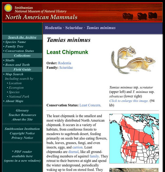
National Museum of Natural History: American Mammals: Least Chipmunk
The least chipmunk is the smallest and most widely distributed North American chipmunk. It occurs in a variety of habitats, from coniferous forests to meadows to sagebrush desert, feeding primarily on seeds but also eating flowers, buds,...
Smithsonian Institution
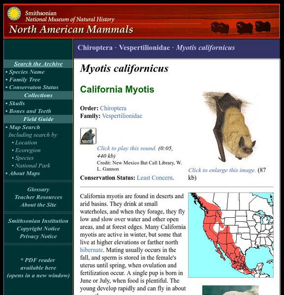
National Museum of Natural History: American Mammals: California Myotis
California myotis are found in deserts and arid basins. They drink at small waterholes, and when they forage, they fly low and slow over water and other open areas, and at forest edges. Learn more about the Myotis californicus, more...
Curated OER
Educational Technology Clearinghouse: Maps Etc: Land Regions of Asia, 1920
A color-relief map from 1920 of Asia showing the principal landform and vegetation features, river systems, and water features of the region. The map is keyed to show areas of waters less than 500 feet deep, floating ice, lands below sea...
Curated OER
Educational Technology Clearinghouse: Maps Etc: Utah, 1920
A map from 1920 of Utah showing the capital at Salt Lake City, counties and county seats, principal cities and towns, Indian reservations, forest reserves, military reservations, railroads, mountains, lakes, rivers, and the Great Salt...
Curated OER
Educational Technology Clearinghouse: Maps Etc: North America, Vegetation, 1911
A map from 1911 of North America, Central America, Greenland, and the Caribbean to Puerto Rico showing the areas of primary vegetation types for the region. The map is color-coded to show areas of forests, areas of woodland, grass, and...
Curated OER
Educational Technology Clearinghouse: Maps Etc: Utah, 1920
A map from 1920 of Utah showing the capital at Salt Lake City, counties and county seats, principal cities and towns, Indian reservations, forest reserves, military reservations, railroads, mountains, lakes, rivers, and the Great Salt...


