Midnight Martian
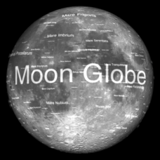
Moon Globe
Not just a simple globe of the moon, this interactive version allows you to choose lighting according to the location of the sun, views from different positions on Earth, and more! Satellite images and topographic data have been combined...
Midnight Martian
Mars Globe HD
Explore the surface of Mars without leaving the comforts of your home or classroom! Learn about volcanoes, missions to the red planet, view the topography, and more.
Curated OER
Coral Reef Geography
In this coral reef geography instructional activity, students find locations of reefs on a globe or map. There are 10 instructions to follow. There is no map provided--an atlas, globe or map is needed.
National Geographic
Altitude: What's in the Air?
Introuduce your scientists to the differences in air at varying altitudes with a colorful explanatory graph. After some discussion, they view unbelievable footage of mountain-climbing Leo Houlding and a narrative about how he might do...
Curated OER
Star Quest
Students review the concepts of the branch of science known as astronomy. They discuss stars and constellations and then view the night sky using a portable digital planetarium projector. They identify a variety of constellations using a...
Curated OER
Stellar Navigation
Students are introduced to the concept of stellar navigation. Inside a portable digital planetarium they identify various stars that were used as a navigational tool. They go through several activities in which they attempt to identify...
Curated OER
Star Quest
Learners engage in a instructional activity of using maps in order to find constellations in the night sky. They also conduct research using three constellations. The research is used to create a project to inform others. The teacher...
Curated OER
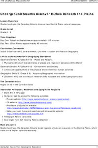
Underground Sleuths Discover Riches Beneath the Plains
Students identify Alberta, Saskatchewan, and Manitoba on map, and use Canadian Atlas to locate regions of natural resources in Central Plains, which have vital impact upon the economy. Students then complete scavenger hunt worksheet.
Curated OER
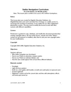
Stellar Navigation Curriculum
Middle schoolers investigate the concept of star mapping and how it is used in space navigation. They conduct various activities to see the effect of mapping. Also the teacher uses models and demonstrations in order to communicate the...
Curated OER
Earthquakes: Getting Ready For The Big One
Students devise a plan to prepare a city for an earthquake. For this lesson on earthquakes, students differentiate between the different types of earthquakes, examine the impact they can have on a city, and write a proposal on how to...
Curated OER
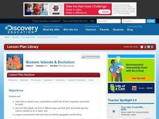
Biomes: Islands and Evolution
Students discover how islands form, how plant and animal species get there and what the term means. For this biomes lesson students prepare a presentation that describes the life forms and geography of an island.
Curated OER
How Do Storms Influence Our Lives?
Students investigate the various ways storms influence our lives. They conduct Internet research, identify the characteristics of different storms, plot storm coordinates, and write a report on a particular storm.
Curated OER
The Letter Ff: Alphabet Theme
Students complete several cross-curricular activities to learn the letter Ff. In this letter recognition lesson, students complete activities that include geography, music, physical education, science, seasonal, space science, and online...
Curated OER
Does One Tree a Forest Make?
Students take a walk around the schoolyard looking at and identifying the trees. One leaf for each tree is collected. A chart is developed that represents the population of trees on the school ground. They keep journals and write an essay.
Curated OER
The Breathtaking Nature of the Urban Explosion, Part 2
Students explore ozone levels. They measure the concentrations of ground-level ozone in the atmosphere. Students observe changes in the concentrations of ozone over time. Students complete a data sheet to record ozone readings over a...
Curated OER
Geographic Information Systems
Students examine the concept of geographic information systems (GIS) and its basic components. They explore an application program using GIS technology and list the various uses for GIS.
