Hi, what do you want to do?






Virtual Museum of Canada
Virtual Museum of Canada: Community Stories: Francophones of Newfoundland and Labrador
Learn about the arrival of the French to Newfoundland in the seventeenth century. Read about the people and their lives.
Read Works
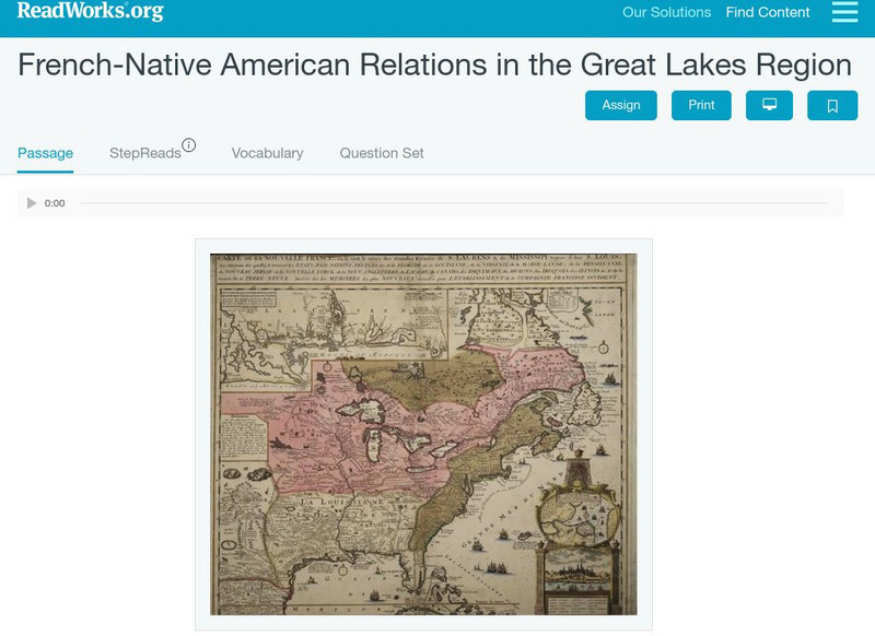
Read Works: French Native American Relations in the Great Lakes Region
[Free Registration/Login Required] This historical passage discusses the relations between the French and Native Americans in the Great Lakes Regions during the 1700's and 1800's. This passage is a stand-alone curricular piece that...
Other
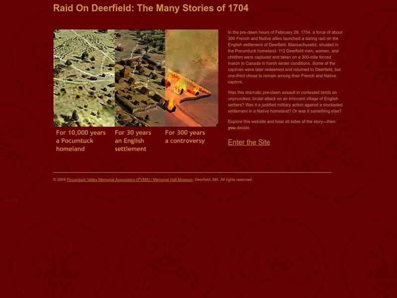
Raid on Deerfield: The Many Stories of 1704
This award-winning resource draws the reader into a consideration of history as witnessed from multiple perspectives. Discover the mystery of the French and Indian raid on colonial Deerfield, Massachusetts where five cultures clashed in...
Curated OER
National Park Service: Timucuan Preserve
This National Park Service site offers information on the history of this short-lived colony, established by the French in 1564.
Curated OER
Etc: The French Claim in Maine, 1605 1752
A map of the disputed territory of Maine between the French and English settlers, from the early claims by the French to the Kennebec River in 1605 to the English claims to the St. Croix River in 1752.
CommonLit
Common Lit: Text Sets: Native American History
This is a collection of 27 Grade-Leveled texts (4-12) on the topic Native American History. Before European settlers came to North America, millions of native people lived in many unique societies. Explore the history of Native Americans...

Other
Illinois State Museum: Native American Food
Experiences during the colonial years certainly were not the same for different cultural groups. This site compares and contrasts the housing, clothing, food, religion and family life of Native Americans, French settlers, and African...
Curated OER
Educational Technology Clearinghouse: Maps Etc: Bay Verte, 1775
A map of New Brunswick and Nova Scotia near Bay Verte (Green Bay) and the eastern shore of Chignecto showing the campaign of Colonel Monckton in 1775 against the French. "About the last of May, Colonel Monckton sailed from Boston, with...
Curated OER
Educational Technology Clearinghouse: Maps Etc: The Acadian Peninsula, 1775
A map of New Brunswick and Nova Scotia in 1775, when it was known as Acadia. Acadia had been ceded by France to the British under the Treaty of Utrecht (1713). At the outbreak of the French and Indian War, the British began a campaign of...
Curated OER
Educational Technology Clearinghouse: Maps Etc: Fort Pentagoet, Maine, 1626
A sketch map of the eastern shoreline of Penobscot Bay, Maine, showing the location of the early French settlement and fort Pentagoet (Fort Pentagouet), or Castine at around the time the British from the Plymouth Colonies rousted the...
Curated OER
Etc: Maps Etc: Port Royal, or Annapolis Basin (After Lescarbot), 1609
A facsimile of a map from Father Marc Lescarbot of Port Royal (Nova Scotia) around 1609, before the British campaigns in the area to expel the French settlers in 1613. This map shows the entrance to the Port Royal Basin from the Bay of...
Other
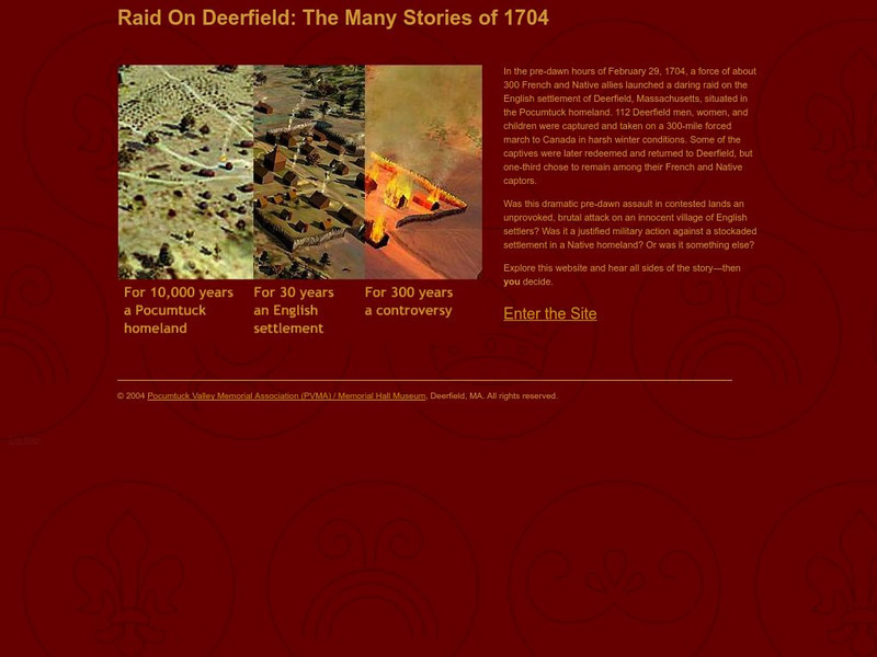
Raid on Deerfield: The Many Stories of 1704
Experience the dramatic raid on Deerfield. You can read what the victims of the Deerfield Raid say in their stories through historical documents as well as see artifacts, find out about the assailants, and enter the conflict yourself.
Countries and Their Cultures
Countries and Their Cultures: Afrikaners
The Afrikaners are descendants, to a great extent, of Dutch, German, and French Huguenot settlers, and, to a lesser extent, of English, Scottish, Irish, and other settlers of South Africa. The Dutch language of the first White settlers...
University of Groningen
American History: Outlines: New Peoples
Most settlers who came to America in the 17th century were English, but there were also Dutch, Swedes and Germans in the middle region, a few French Huguenots in South Carolina and elsewhere, slaves from Africa, primarily in the South,...
Curated OER
Educational Technology Clearinghouse: Maps Etc: British Canada, 1791
A map of eastern Canada in 1791 after the American Revolution, during the formation of British North America and the division of Quebec into the largely French-speaking Lower Canada and the Loyalist Upper Canada. The map is color-coded...
Curated OER
Wikipedia: National Historic Landmarks in Wisconsin: Namur Historic District
District of Belgian-American settlers, where French with a Walloon accent is still spoken.
Curated OER
Usf: Jean Ribault Claims Florida for France
Find out about the early French settlements in Florida and South Carolina and the Spanish treatment of the settlers there. The site map will take you to many other articles about Florida history.