Hi, what do you want to do?
American Geosciences Institute
American Geosciences Institute: Earth Science Week: Mapping Quake Risk
Students use GIS to observe worldwide patterns of earthquakes and volcanoes and analyze the relationships of those patterns to tectonic plate boundaries. Then they identify cities at risk.
Science Education Resource Center at Carleton College
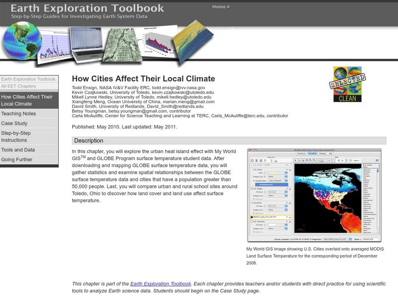
Serc: How Cities Affect Their Local Climate
Students explore the urban heat island effect with My World GISTM and GLOBE Program surface temperature student data. After completing this chapter, students will be able to successfully download GLOBE Program datasets in the...
Columbia University
Nasa: Sedac: Population, Landscape, and Climate Estimates
[Free Registration/Login Required] A huge resource for researchers without GIS capabilities who need data on population and land area by country across a range of physical characteristics. These include measures such as the number of...
Other
Cyber Sierra: Natural Resources Job Search
Explore jobs in natural resources, forestry, GIS and environmental sciences, in government, nonprofits and international bodies.
University of California
Us Geological Survey: Cartogram Central
The USGS offers detailed information on Types of Cartograms, Congressional Districts, Software for Cartograms, Publications, and a Carto-Gallery.
US Geological Survey
U.s. Geological Survey
The U.S. Geological Survey reports on the latest news affecting the earth today, as well as providing a wealth of data, reports, and information.
Other
21st Century Skills: Geography
This "roadmap" can show how Information and Communication Technology tools can be used to develop and enrich geography content instruction. Examples are given for 4th, 8th and 12th grades.
TeachEngineering
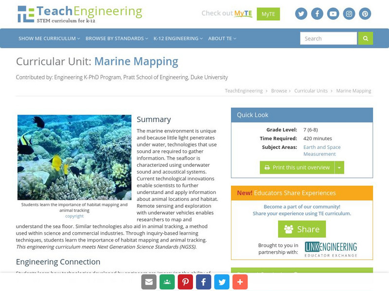
Teach Engineering: Marine Mapping
The marine environment is unique and requires technologies that can use sound to gather information since there is little light underwater. The seafloor is characterized using underwater sound and acoustical systems. Current...
TeachEngineering
Teach Engineering: What's Wrong With the Coordinates at the North Pole?
Students complete a self-guided exercise in worksheet format combined with Google Earth that helps them explore practical and observable differences between different projection and coordinate systems. The activity improves their skills...
Science Education Resource Center at Carleton College
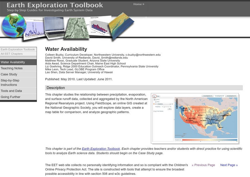
Serc: Water Availability
This instructional activity helps students discover the relationship between precipitation, evaporation, and surface runoff data. Using FieldScope, an online GIS created at the National Geographic Society, students will explore data...
Other
Natural Resource Information Center: Maps of Montana
Resource contains 14 different maps of Montana in four different formats. Maps range anywhere from the county maps to the Indian reservation maps.
Other
Natural Resource Information Center: Maps of Montana
Resource contains 14 different maps of Montana in four different formats. Maps range anywhere from the county maps to the Indian reservation maps.
Science Education Resource Center at Carleton College
Serc: Lab 5: Trouble in Paradise: Factors That Impact Coral Health
Students examine the status of coral reefs around the world using an online geographic information system (GIS). They also investigate some of the major factors that disrupt corals-watersheds, exploitive fishing, coastal development, and...
TeachEngineering
Teach Engineering: Where Are the Plastics Near Me? (Field Trip)
An adult-led field trip allows students to be organized into investigation teams that catalogue the incidence of plastic debris in different environments. These plastics are being investigated according to their type, age, location and...
Science Education Resource Center at Carleton College
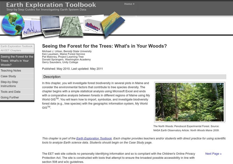
Serc: Seeing the Forest for the Trees: What's in Your Woods?
In this learning module, students will look at the state of forest biodiversity in Maine, and what conditions lead to greater species diversity of trees. They will use geographic data from different regions of Maine to compare forest...
Association of Religion Data Archives
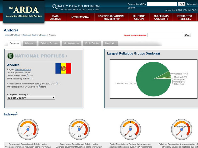
Association of Religion Data Archives: National Profiles: Andorra
Compilation of religious data and research about Andorra, along with regional and world comparisons. Includes select socioeconomic data, GIS maps (road, satellite, hybrid) and an insightful mix of information about religious membership...
Science Education Resource Center at Carleton College
Serc: Investigating the Ocean Algal Blooms
This NOAA computer-based activity is designed to teach students in grades 9-12 how satellite imagery and remote sensing can be used to monitor harmful algal blooms (HABs). This lesson teaches students how to read and interpret satellite...
TeachEngineering
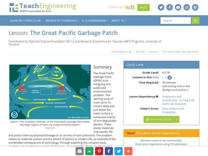
Teach Engineering: The Great Pacific Garbage Patch
The Great Pacific Garbage Patch (GPGP) is an interesting and somewhat publicized environmental problem. A swirling soup of trash up to 10 meters deep and just below the water surface is composed mainly of non-degradable plastics. These...
Geographyiq
Geography Iq
Detailed geographical information on any country is available at this site. Within the World Map section, you can get facts and figures about each country's geography, demographics, government, political system, flags, historical and...
PBS
Pbs Newshour: The Gi Bill's Legacy
Jim Lehrer, on his NewsHour program, offers an extensive interview with several historians discussing the impact of the GI Bill in transforming American society. Read what Stephen Ambrose, Doris Kerns Goodwin, Haynes Johnson, and Michael...
University of Colorado
University of Colorado: Error, Accuracy, and Precision Exam
A university exam on the topics of error, accuracy, and precision. Includes essay, short answer, and multiple-choice. Links to lecture and discussion notes. Answers to short essay and multiple-choice are provided.
Science Buddies
Science Buddies: Science Careers: Mapping Technician
Mapping technicians, also called surveying technicians, as their name suggests, use many different tools to make maps of many kinds. This Science Buddies site lays out the requirements needed to become a mapping technician, as well as...
TeachEngineering
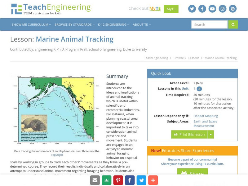
Teach Engineering: Marine Animal Tracking
This lesson engages students in an activity to monitor animal foraging behavior on a spatial scale. The students will break into groups and track each other's movements as they move through a pre-determined course. The results will be...
Ibis Communications
Eyewitness to History: Tokyo Rose
Students investigate ?Tokyo Rose? the name given by American GIs to nearly a dozen women of American descent who broadcasted propaganda for the Japanese during World War II. The resource consists of an audio clip of Tokyo Rose broadcasts...
Other popular searches
- Gis Data
- Gis Map
- Gis Software
- Gis Environment
- Gis and Gps Technology
- Gis Gps
- Gis and Remote Sensing
- Gis Data Map
- Geography, Gis
- Gis Lesson Plans
- Gps/gis
- Gis Water


