Hi, what do you want to do?
Curated OER
The Tilting Earth
Fourth graders use a styrofoam ball on a stick to represent earth and a light bulb in the center of the room to represent the sun. They walk around the light, holding their sticks at an angle to show the tilt of the earth's axis. They...
National Geographic
National Geographic: Mapping Landforms
Students will study landform maps of states and then create a project of their own.
Quia
Quia: Geography World: Earth's Physical Features Games
This site contains matching, concentration, flash cards, and word search games from landform vocabulary. Excellent games which contain more than one version of each game to reinforce all vocabulary taught.
National Geographic
National Geographic: Shaping the Tallest Peak on Earth
This lesson builds upon a National Geographic film covering George Mallory's effort to climb Mount Everest in 1924. It looks at the physical features of mountains, and the landform features of Mount Everest that present challenges to...
Other
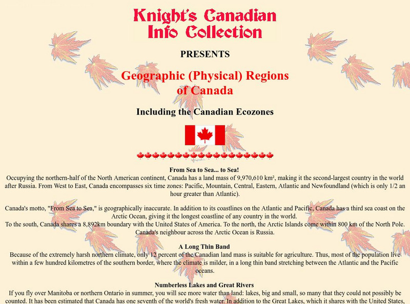
Knight's Canadian Info Collection: Geographic Regions of Canada
Canada is divided into distinct regions, each with a very different landscape and climate. Geographic and ecozone maps as well as text information is included.
Geographyiq
Geography Iq
Detailed geographical information on any country is available at this site. Within the World Map section, you can get facts and figures about each country's geography, demographics, government, political system, flags, historical and...
Science Struck
Science Struck: Types of Landforms
Describes different landform types and their features. includes many good quality photographs.
European Space Agency
European Space Agency: Observing the Earth
This resource provides information about the Earth, as well as satellite images and videos of what is taking place on the earth currently.
Wikimedia
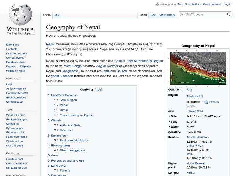
Wikipedia: Geography of Nepal
Offers geographic facts about Nepal, including descriptions of terrain, land use, and natural hazards. Nepal contains eight of the world's ten highest peaks.
Columbia University
Nasa: Sedac: Population, Landscape, and Climate Estimates
[Free Registration/Login Required] A huge resource for researchers without GIS capabilities who need data on population and land area by country across a range of physical characteristics. These include measures such as the number of...
PBS
Pbs Learning Media: Atchafalaya Bay Deltas
The Mississippi Delta is disappearing because of rising sea levels and the construction of levees, yet the deltas in the Atchafalaya Bay are growing. View this video from NASA showing images collected over 31 years showing the growth of...
NSTATE
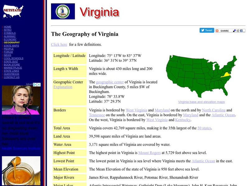
Netstate.com: The Geography of Virginia
Find a variety of facts about the geography of Virginia: geographic center, total area, elevations, and much more.
Other
Greatest Places: Namib
Explore the Namib Desert and learn about its location, the Skeleton Coast, mirages, and general information about this home to the highest sand dunes in the world.
University of Texas at Austin
University of Texas: Human Environmental Interactions [Pdf]
Inspired by Hemispheres' 2004 Teachers' Summer Institute, People and Place: Human-Geographic Relations, this curriculum unit was designed to address human adaptation to and modification of the environment. How have humans adjusted to...


