Scholastic
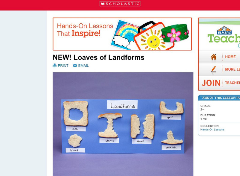
Scholastic: Loaves of Landforms!
A foundation in geography begins with an understanding of the terms geographers use to describe the features of Earth. This lesson is designed to help students grow their vocabulary and learn to recognize common landforms in a hands-on...
Scholastic
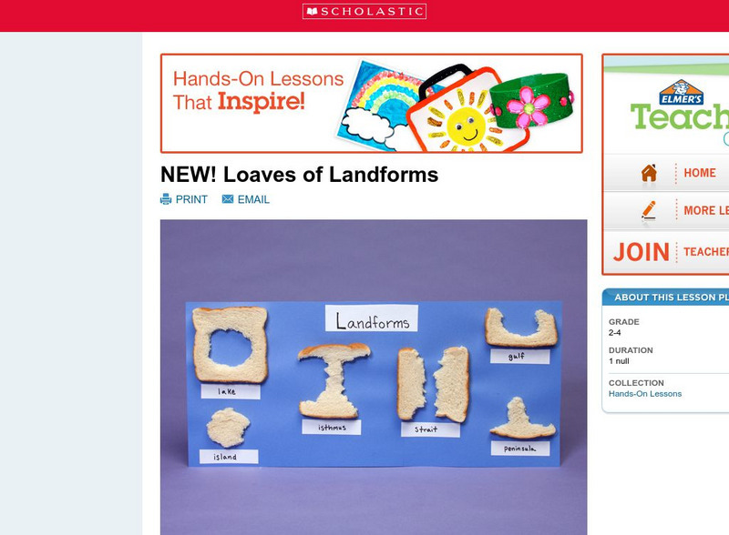
Scholastic: Loaves of Landforms
This is a comprehensive lesson plan to teach primary students about landforms. A foundation in geography begins with an understanding of the terms geographers use to describe the features of Earth. Help students grow their vocabulary and...
ClassFlow
Class Flow: How Landforms Affect Settlers' Choices
[Free Registration/Login Required] This flipchart has students engage in a research project looking at how geographical features affected the colonists' settling of the New World. Web links to aid the research process are included. An...
Information Technology Associates
Geographic: Guatemala Geography
Site describes in point form the geography of Guatemala, giving land mass, major landforms, climate, terrain, and natural resources.
ClassFlow
Class Flow: Geographical Skills
[Free Registration/Login Required] In this lesson students understand how physical processes (weathering, erosion, climates, soils, and landforms) shape earth's surface patterns and systems.
Johns Hopkins University
Johns Hopkins University: Arkansas State Maps
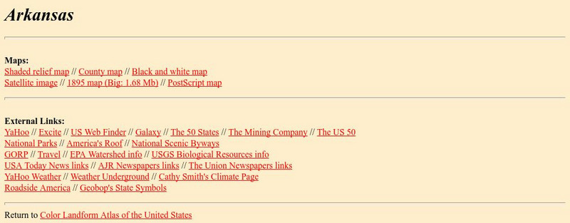
Learn more about the Arkansas' geography through the maps at this website from the Johns Hopkins University Applied Physics Laboratory. These maps give in depth information on the landforms found in Arkansas.
Johns Hopkins University
Johns Hopkins University: Arkansas State Maps
Learn more about the Arkansas' geography through the maps at this website from the Johns Hopkins University Applied Physics Laboratory. These maps give in depth information on the landforms found in Arkansas.
Houghton Mifflin Harcourt
Harcourt: School Publishers: Types of Land
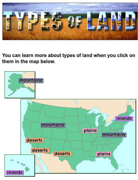
This clickable map of the United States defines different geographic features such as mountains, plains, islands, and deserts.
Other
Greatest Places: Namib
Explore the Namib Desert and learn about its location, the Skeleton Coast, mirages, and general information about this home to the highest sand dunes in the world.
Johns Hopkins University
The Johns Hopkins University: Delaware State Maps
At this site from The Johns Hopkins University Applied Physics Laboratory, you can learn more about the landforms and other geographical features of the state of Delaware. Check out the different map types at this website.
Johns Hopkins University
The Johns Hopkins University: Florida State Maps
Use this site from The Johns Hopkins University Applied Physics Laboratory to find out more about Florida's landforms. This website contains several different maps highlighting different geographical features of Florida.
Other
Mr. Palm: Regions of Texas
The four major geographic regions of Texas are described in text and a slideshow, with a discussion of their landforms, climate, vegetation, animals, and resources.
Quia
Quia: Geography World: Earth's Physical Features Games
This site contains matching, concentration, flash cards, and word search games from landform vocabulary. Excellent games which contain more than one version of each game to reinforce all vocabulary taught.
