The Newberry Library
Newberry: Geography: Map 18: Metropolitan Los Angeles, 1979
Lessons for K-12 in which learners use a 1979 Rand McNally highway map to explore the cultural, historical and physical geography of metropolitan Los Angeles.
PBS
Pbs Learning Media: The Geography and Natural Resources in Canada
Students will explore a physical map showing natural resources in Canada to analyze the impact of the environment on the distribution of natural resources. Students will write about the information they discover using the provided...
Science Education Resource Center at Carleton College
Serc: Ecology/geography Classification
This outdoor lesson helps students better understand ecological and geographical classifications by teaching it simultaneously in science and geography class. Presenting the two classifications together will help reinforce the idea of...
HotChalk
Hot Chalk: Lesson Plans Page: Edible Geography
Students learn directional geography and the physical geography of a state by making an edible map using different objects to display the different geographical landmarks.
Organization for Community Networks
Ofcn: The Influence of Physical Geography: Climate
In this instructional activity from the Academy Curricular Exchange of the Columbia Education Center, this instructional activity teaches students to determine the physical geography and climate of the area and how they influence the...
National Earth Science Teachers Association
Windows to the Universe: The Geography of Land Planning
For this lesson, students learn the basics of town planning. They must ensure that the town has adequate water and other resources, and that it takes into account other nearby communities. There is a fair amount of preparation needed on...
ArtsNow
Arts Now Learning: Musical Geography [Pdf]
In this lesson, students listen to and perform chanted text, then explore how parts of the chant can be linked to geographic features on a map.
Louisiana Department of Education
Louisiana Doe: Louisiana Believes: World Geography: Aborigines
Students develop and express claims through discussions and writing which examine the origins and experiences of the Aborigine people and evaluate their effectiveness in preserving their culture.
Louisiana Department of Education
Louisiana Doe: Louisiana Believes: World Geography: Oil in the Middle East and Africa
Young scholars develop and express claims through discussion and writing which examine the importance of oil and water to the success and survival of the Middle East and North Africa.
Library of Congress
Loc: Teachers: Geography and Its Impact on Colonial Life
Beginning with a discussion on how people adapt to or relocate to environments, this lesson encourages young scholars to explore why the Colonists settled in specific regions. In groups, students examine primary documents, analyzing...
Library of Congress
Loc: Geography and Its Impact on Colonial Life
European settlement patterns were influenced by geographic conditions such as access to water, harbors, natural protection, arable land, natural resources and adequate growing season and rainfall. Examine a variety of primary sources to...
Other
Geography Through Literature Pacific Islands
This site is a highly detailed unit plan. That crosses almost all the disciplines, with "Call it Courage," as the beginning point. Links to a .pdf file and Word versions of handouts are available.
PBS
Pbs Learning Media: Buster's Egyptian Adventure
Students join Buster Baxter on a ancient Egypt, in this geography lesson. Students learn about Cairo, ancient Egypt, the pyramids, the Nile River, and relevant vocabulary terms. Then students write about what they've learned in the form...
PBS
Pbs Learning Media: 50 States Part 2 Lesson Plan
In this lesson, students combine psychomotor skills and geography as they travel from Montana to Wyoming. As students travel from state to state, they learn regional facts and state capitals. Students perform physical tasks highlighting...
PBS
Pbs Learning Media: 50 States Part 1 Lesson Plan
In this lesson, students travel virtually to 25 different states from Alabama to Missouri. While on their journey students explore geography, learn state capitals and interesting facts along the way. Movements are unique and incorporate...
Other
Digital Library for Earth System Education (Dlese)
This resource provides materials for teachers on a huge array of topics. Search site by topic, grade level, and desired output (such as lesson plan, case study, assessment or tutorial). Site is focused on earth science, geography, and...
Science Education Resource Center at Carleton College
Serc: State Map Poster
This is a project where students pick a state, study its landforms and data about its geology, and produce a poster that outlines how the state's geography evolved over time. An example of such a poster is provided on a downloadable...
PBS
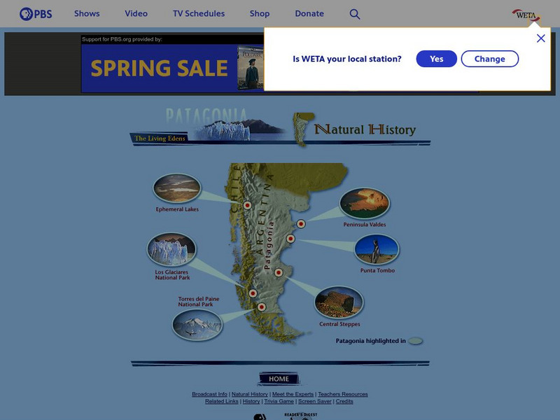
Pbs: The Living Edens/patagonia/natural History
This site lets you click on six different spots in the Patagonian region of Argentina to learn about the physical geography. For each area, a description is given along with information on conservation efforts.
Texas State Historical Association
Texas State Historical Association: Counties of Texas [Pdf]
An activity guide where students refer to the Texas Almanac, which is free to download, for information needed to complete assigned tasks. In this lesson plan, they investigate the county in which they live, compare it to counties in the...
PBS
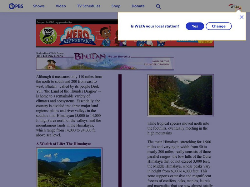
Pbs Bhutan & the Himalayas: A Wealth of Life
PBS provides a general overview of the geography of Bhutan and the Himalayas, highlighting Bhutan's natural regions as largely unexplored. Includes linked pages to the various climatic zones of the Himalayan region.
Council for Economic Education
Econ Ed Link: How Global Is Your Portfolio?
This engaging instructional activity challenges students to connect economics and geography as they investigate global companies in the stock market.
Alabama Learning Exchange
Alex: World Traveler
Seventh grade social studies learners will create a passport and detailed daily travel journal. The project will incorporate a minimum of two types of technology as they create a narrative vividly describing a city/country. Specific...
Crayola
Crayola: Airplane View
Show off your knowledge of geography. Draw your state, its neighbors and indicate notable landforms as if you were viewing them from the window of an airplane.
Sophia Learning
Sophia: African Unity Activity
Students will be able to discuss and debate current issues for a specific African country, then develop solutions to these issues by participating in a simulation of a meeting of the Organization of African Unity (OAU).
Other popular searches
- Five Themes of Geography
- U.s. Geography
- China Geography
- Africa Geography
- Mexico Geography
- Canada Geography
- Asia Geography
- France Geography
- Japan Geography
- World Map
- Ireland Geography
- Geography Studies


